April 11th 2013
On April 6, 2014
- 2013 Storm Chases
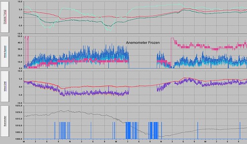
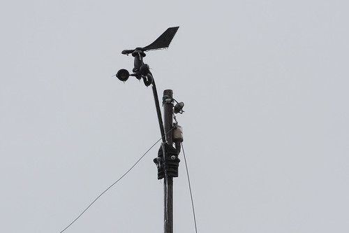
This is what the data from my weather station looked like. The chart starts at midnight on April 11th, temperatures early on remain relative warm until about 7AM which the first precipitation falls and evaporative cooling takes hold. From that point on temperatures continue to remain around the freezing mark but there is a lull in the precipitation shortly after midday. Then the second wave starts around 11PM and by 4AM on April 12th my anemometer just freezes solid. From that point on rain continues to fall and freeze until almost noon when finally the wind cups start spinning.
