Posts in Category: 2009 Storm Chases
August 11th 2009
On April 9, 2014
- 2009 Storm Chases
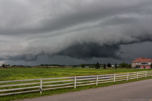
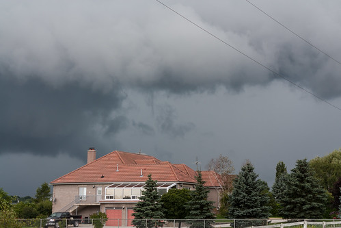
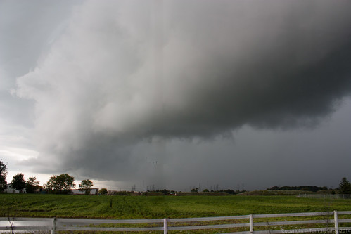
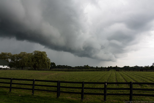
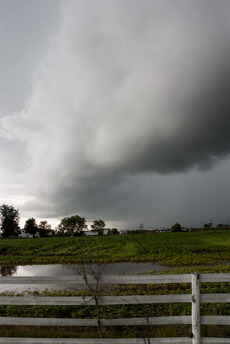
This storm was the first in a series that just came out of no where along a lake breeze convergence zone and rapidly began to dive south.
Environment Canada was quick to issue a warning calling for 100 km/h winds.
WUCN11 CWTO 111757
SEVERE THUNDERSTORM WARNING
ISSUED BY ENVIRONMENT CANADA
AT 1:57 PM EDT TUESDAY 11 AUGUST 2009.
---------------------------------------------------------------------
SEVERE THUNDERSTORM WARNING FOR:
=NEW= CITY OF TORONTO
=NEW= BURLINGTON - OAKVILLE
=NEW= HALTON HILLS - MILTON
=NEW= MISSISSAUGA - BRAMPTON.
---------------------------------------------------------------------
==DISCUSSION==
SEVERE THUNDERSTORM MOVING SOUTHEAST TOWARDS LAKE ONTARIO.
STRONG GUSTS TO 100 KM/H AND HEAVY RAIN ASSOCIATED WITH THIS STORM.
THIS IS A WARNING THAT SEVERE THUNDERSTORMS ARE IMMINENT OR OCCURRING
IN THESE REGIONS. REMEMBER SOME SEVERE THUNDERSTORMS PRODUCE
TORNADOES..LISTEN FOR UPDATED WARNINGS. EMERGENCY MANAGEMENT ONTARIO
RECOMMENDS TAKING COVER IMMEDIATELY WHEN THREATENING WEATHER
APPROACHES.
NOTE..A SUMMARY OF ALL WARNINGS AND WATCHES FOR SOUTHERN ONTARIO IS
AVAILABLE IN THE WWCN11 CWTO BULLETIN ISSUED IMMEDIATELY FOLLOWING
THIS BULLETIN.
END/..
