March 24th 2016
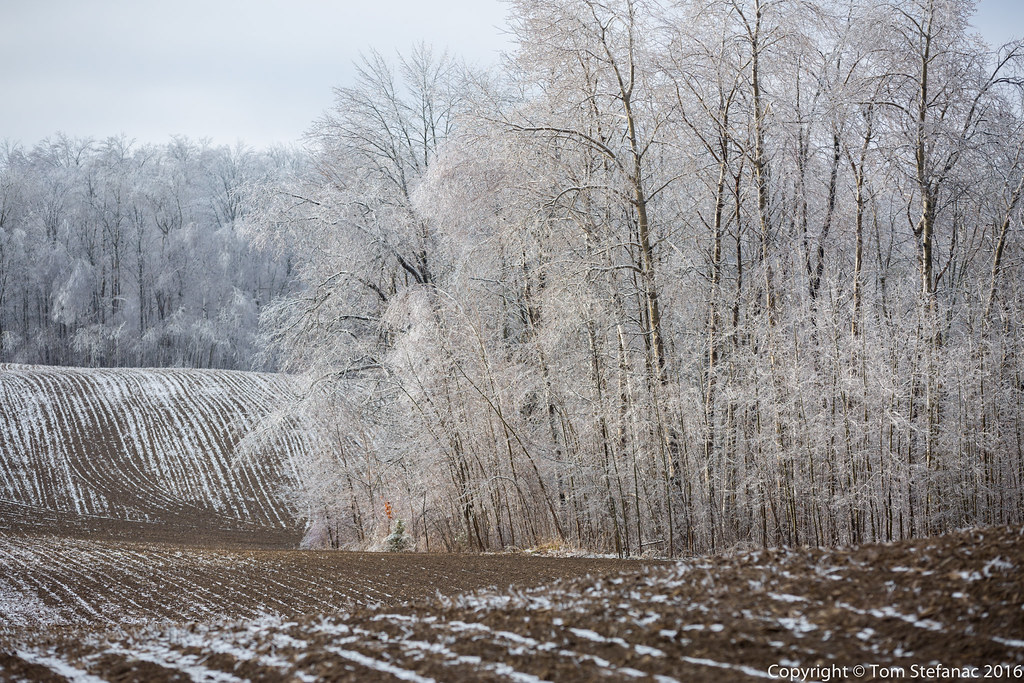
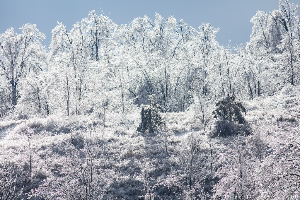
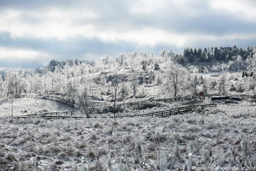
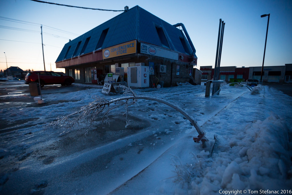
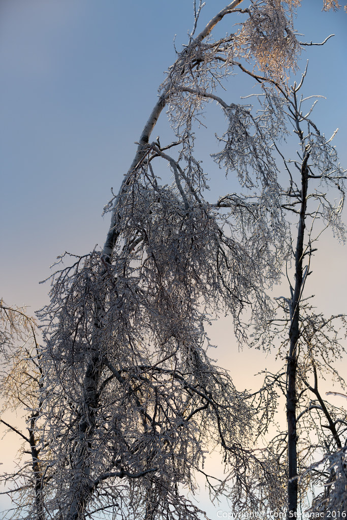
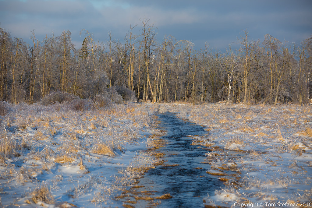
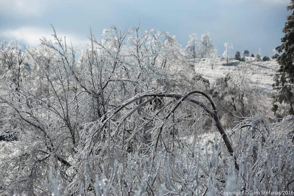
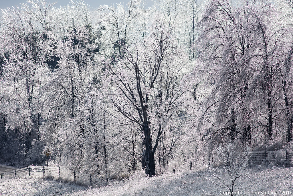
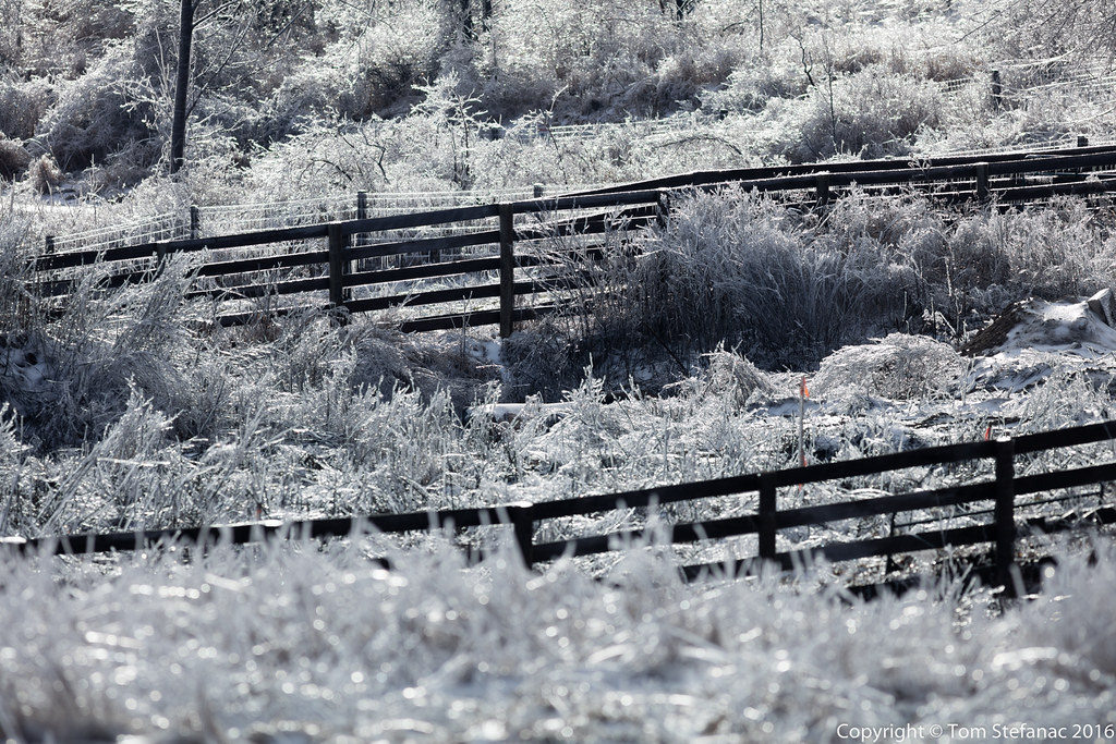
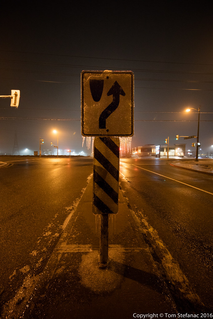
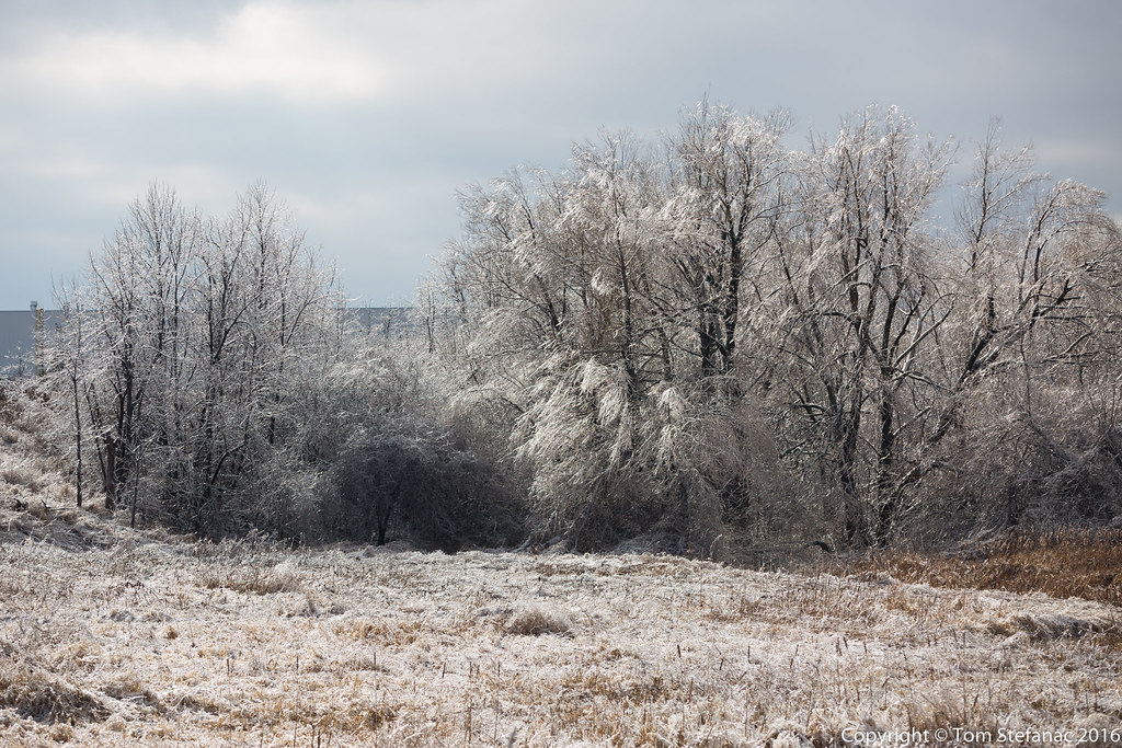
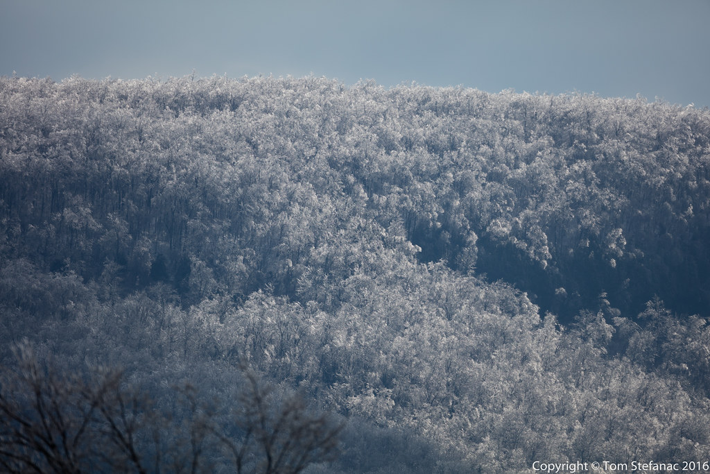
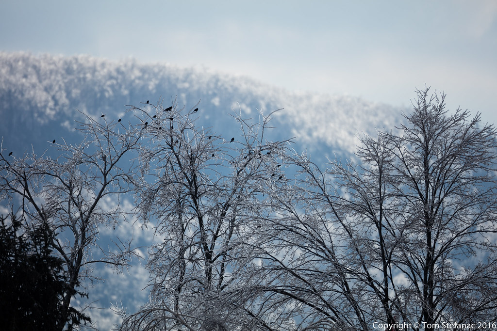
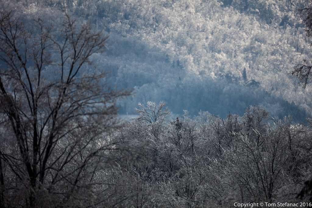
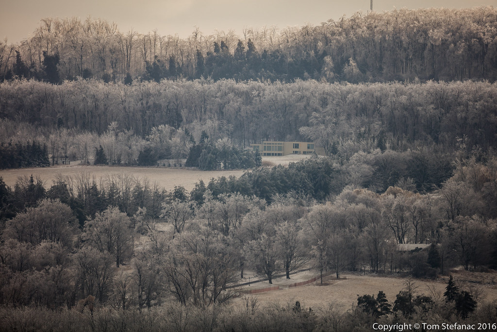
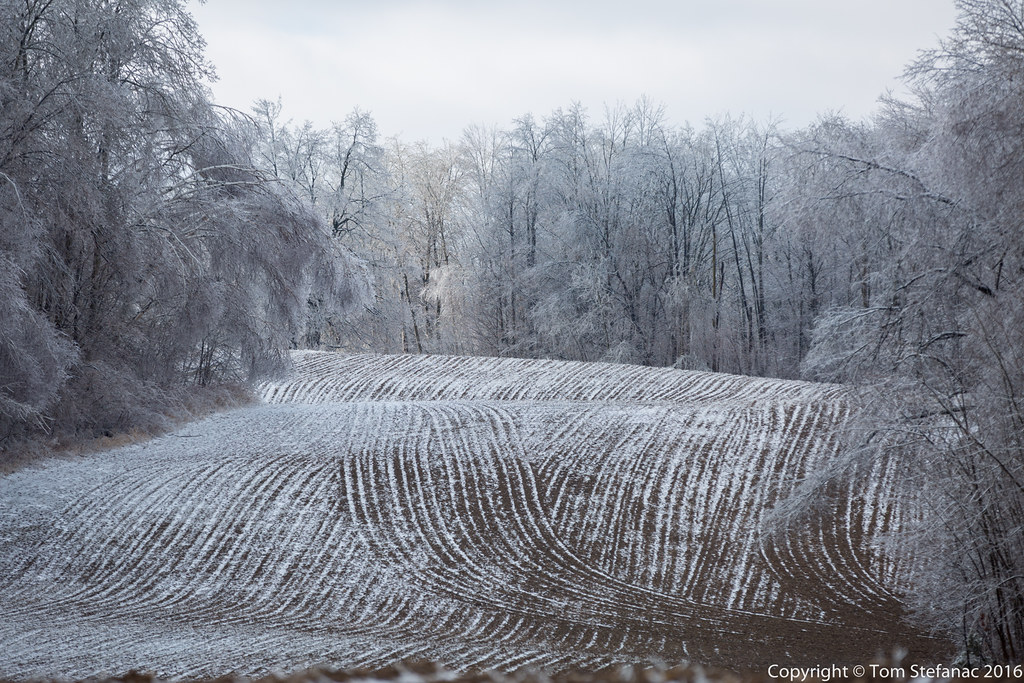
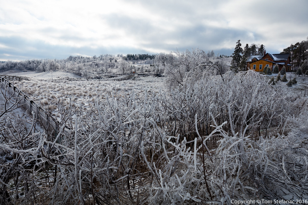
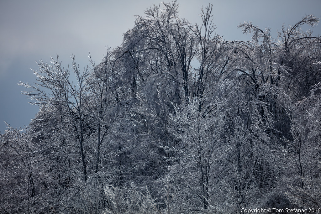
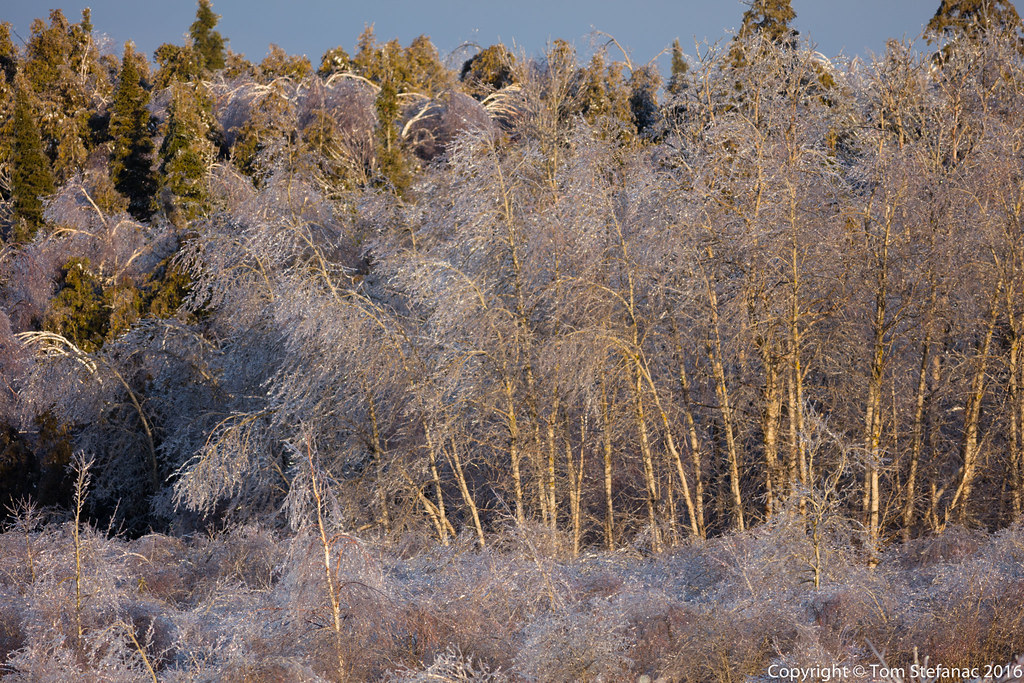
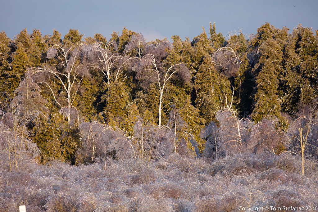
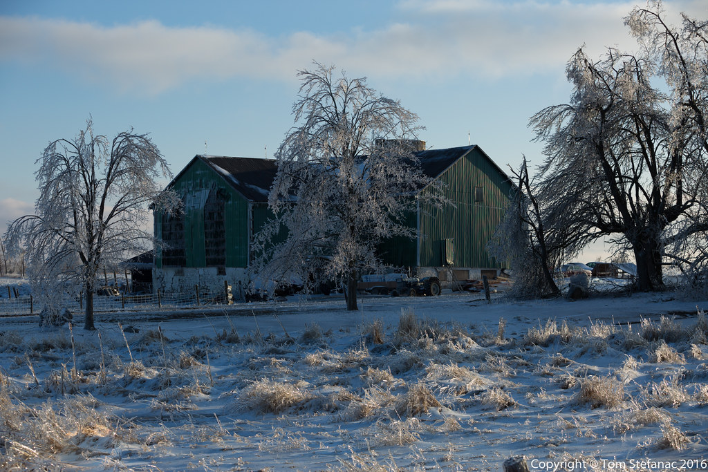
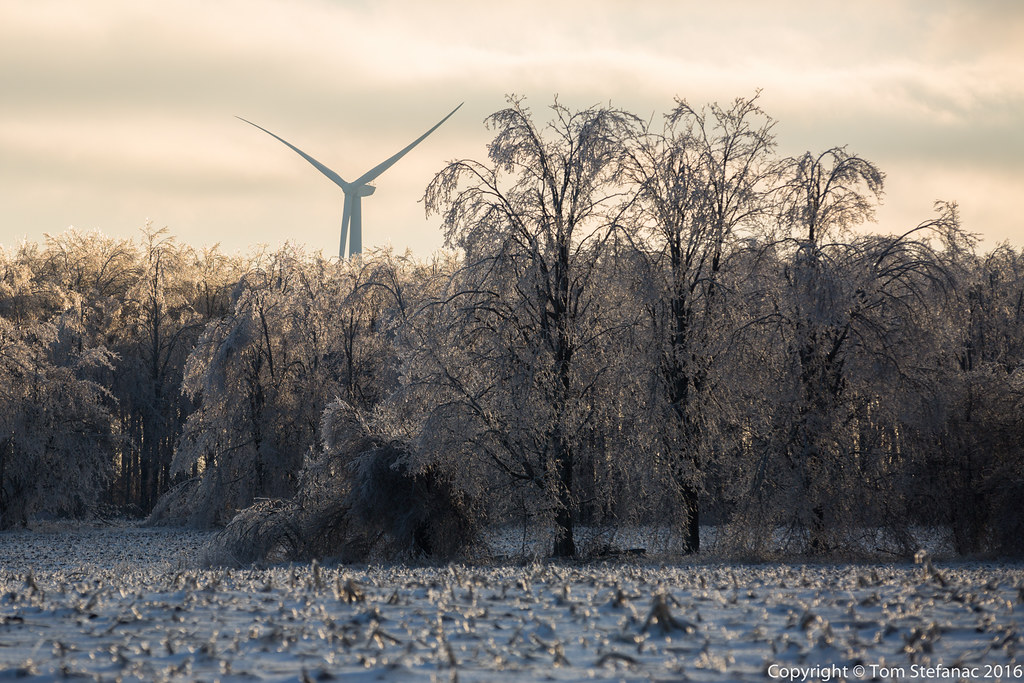
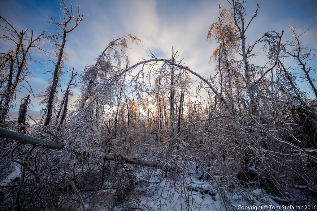
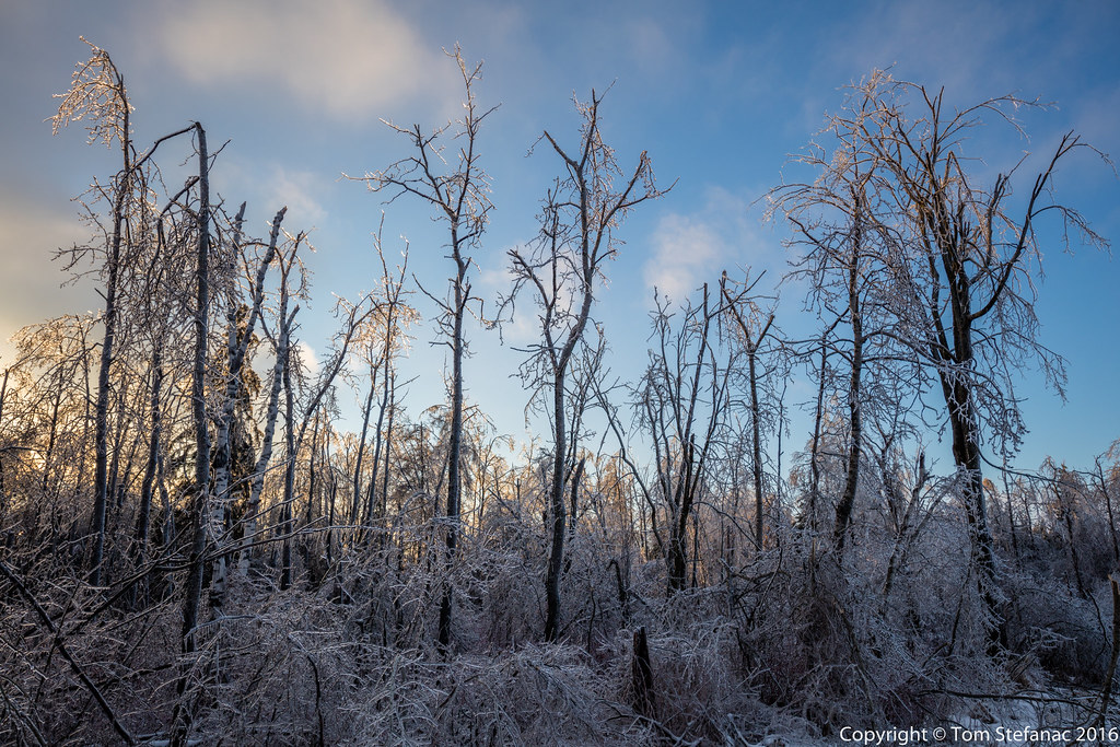
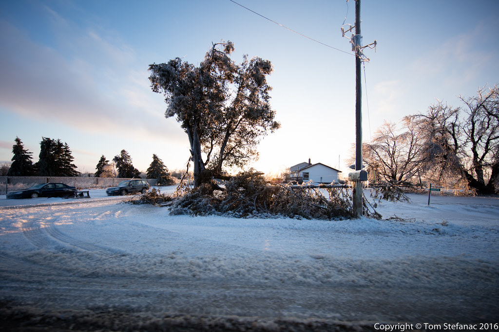
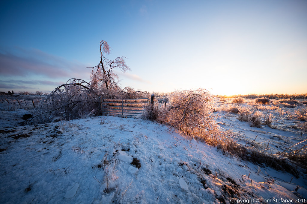
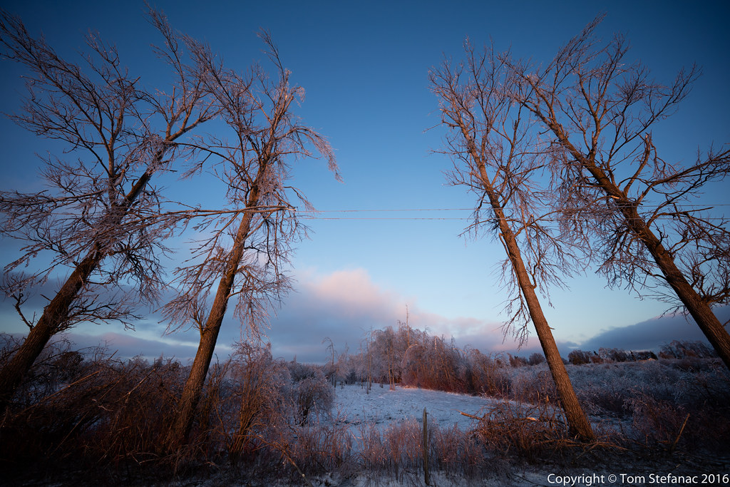
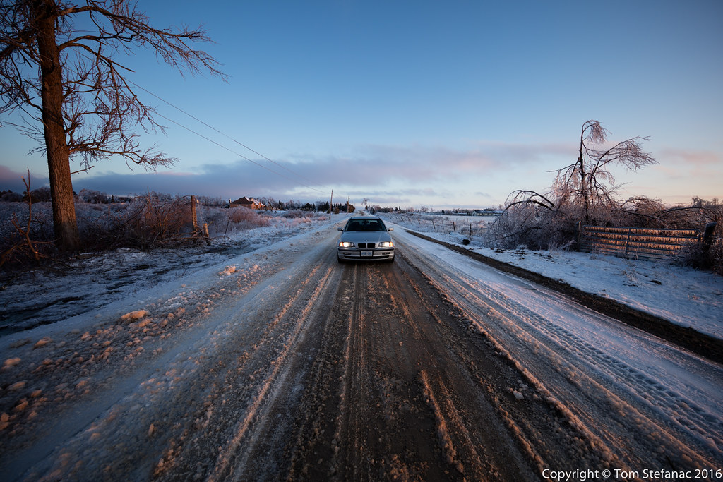
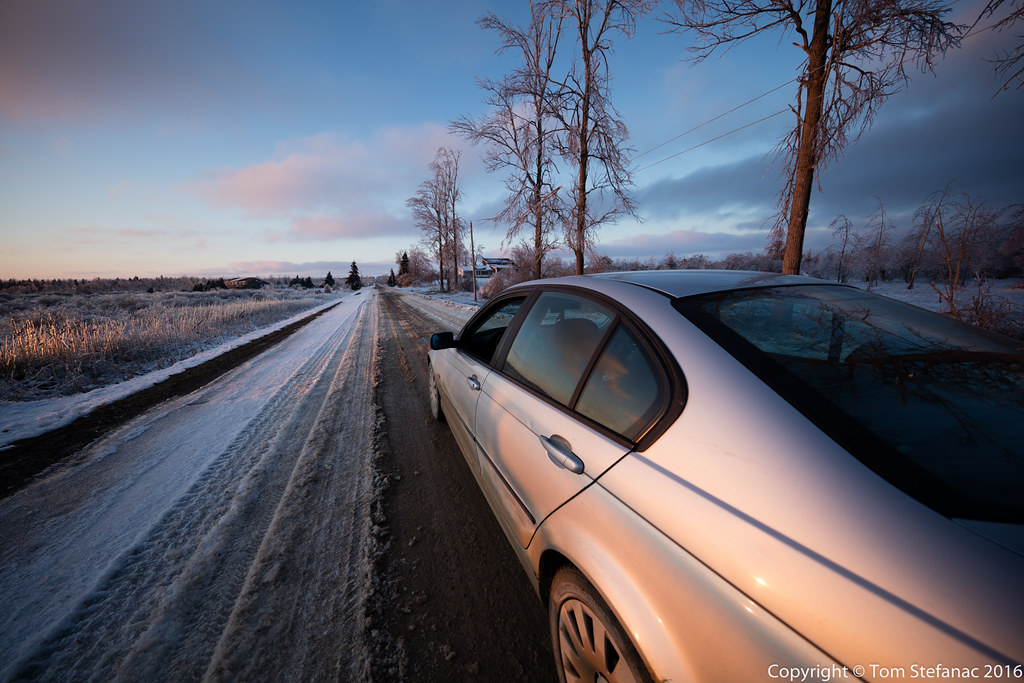
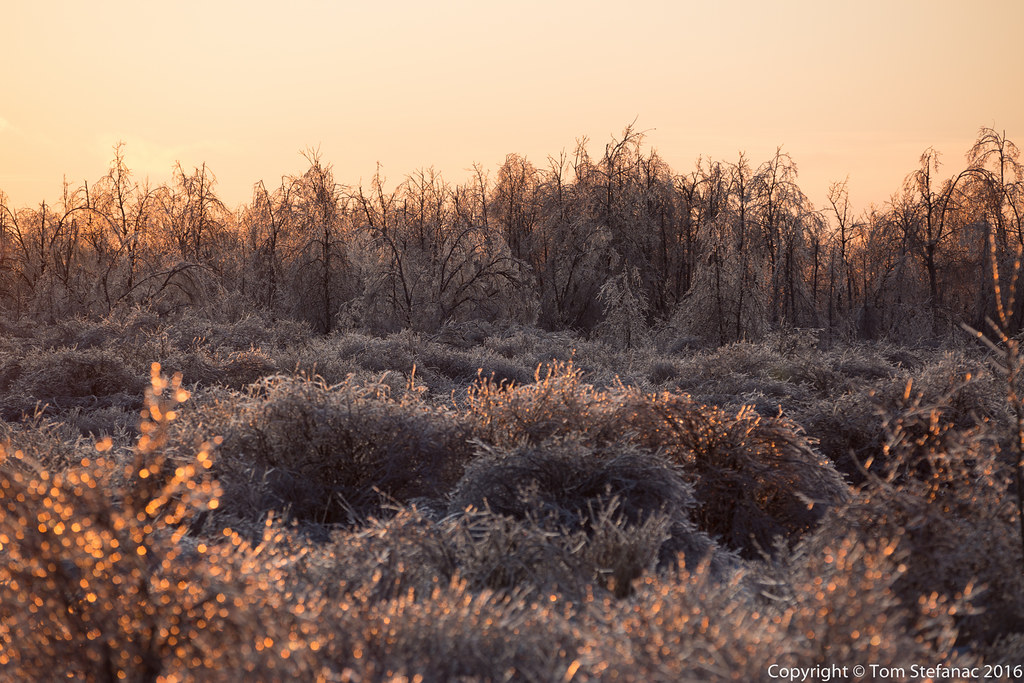
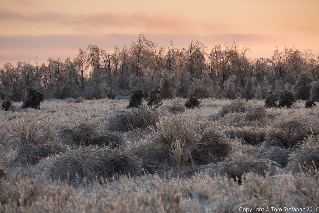
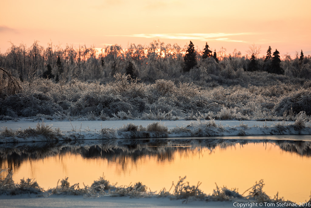
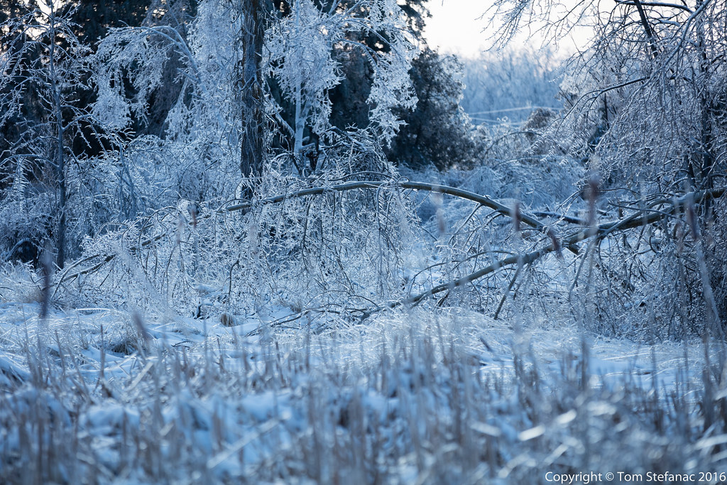
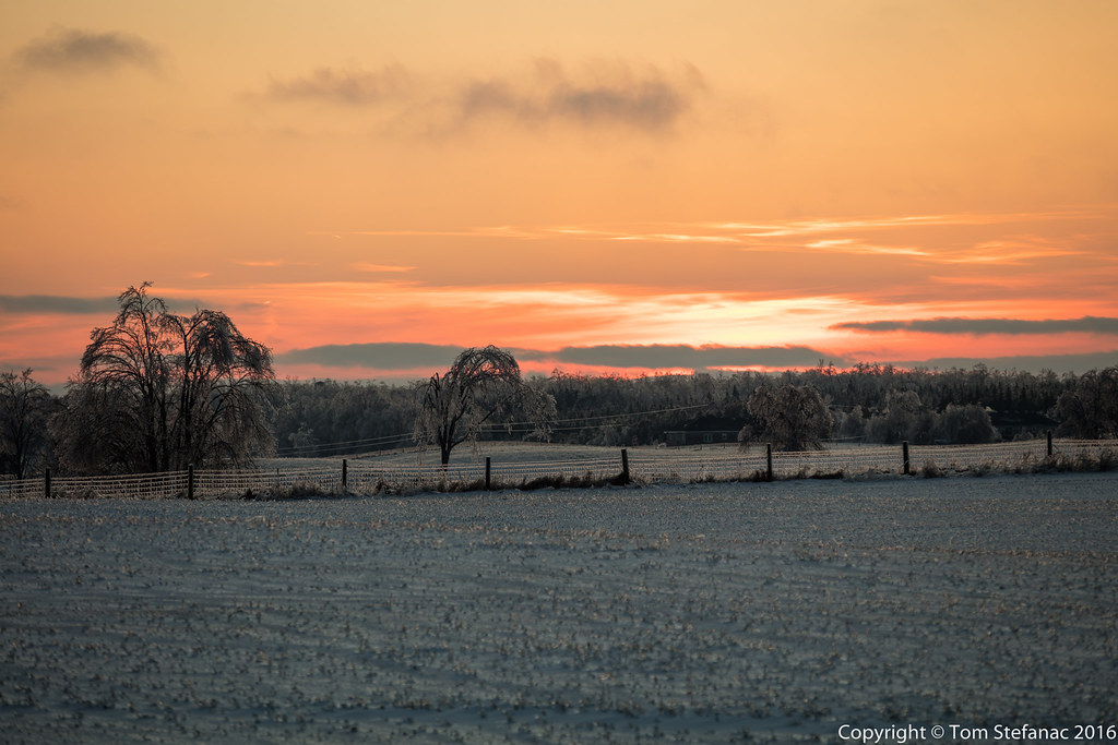
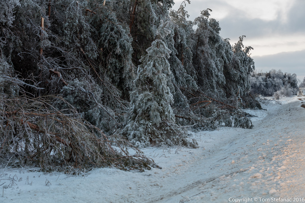
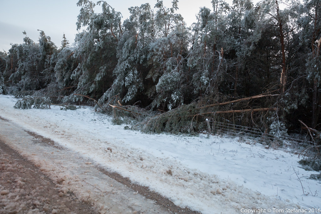
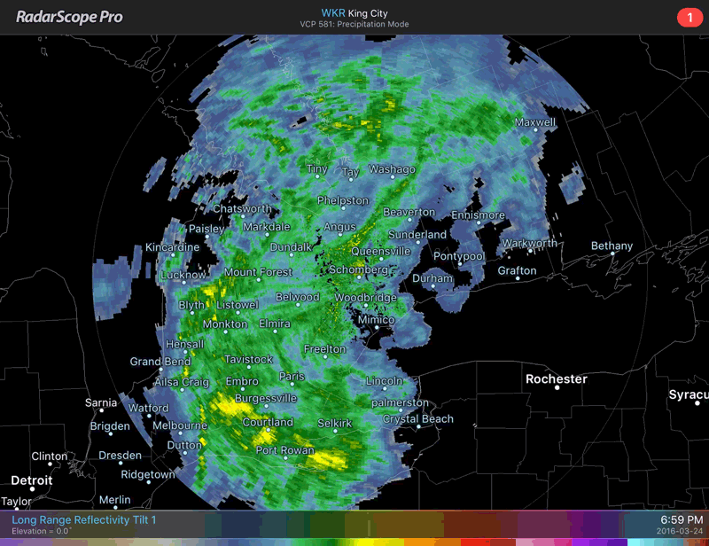
A day and night of freezing rain coated trees, homes and roads with 40-45mm of ice. The storm was a product of an Oklahoma low with a potent surface warm front that simply stalled out and could not overcome the dominant sub-freezing easterly flow just north of the great lakes. This created a perfect storm so to speak where the heaviest rain sat right on an axis of rotation and pummelled some areas just north of Toronto for excess of 24 hours. The result was significant ice accretion leading to substantial tree and infrastructure damage.
|
|
|

The storm while destructive was also very much a rare beast of beauty! As the low departed on good Friday and gaveway to a strong ridge of high pressure, bright sunshine broke through illuminating the glazed icy landscape north of Toronto. I headed out on a photographic journey to explore the beauty and the simultaneous destruction that nature delivered.