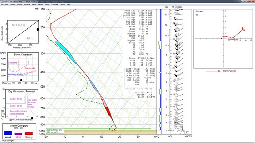
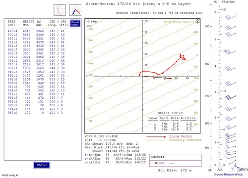
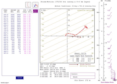
May 10th 2013
On April 6, 2014
- 2013 Storm Chases
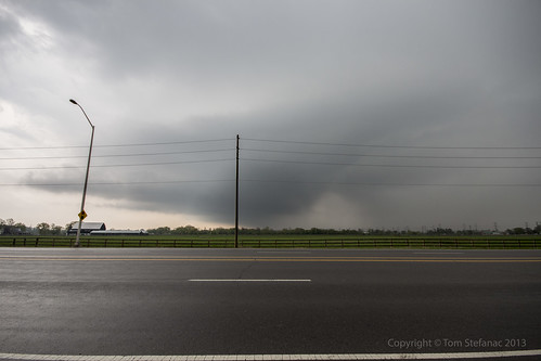
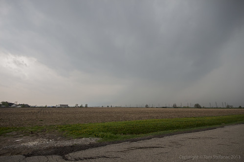
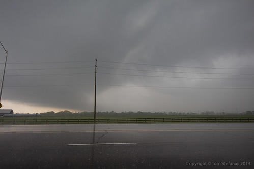
The storm is now passing through Milton, you can see mid level clouds flowing into the storm from the Southeast (image looking west). It also presents a bit of a vaulted type structure with the usual lateral tilt of the updraft. Slight clearing between the "hail" region of the core and the heavier rain is visible just to the right of center.
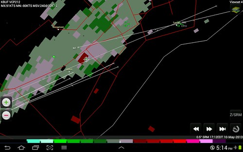
The biggest problem with this storm if any is the fact that it remained elevated with limited boundary layer interaction and hence produce virtually nothing as far as wind at the surface.
