This was one of those much anticipated days. The storm chase community had already been showing interest since the week prior.
The synoptic setup was another classic high plains easterly flow upslope event augmented by a weak 700mb low.
The jet stream was way to the north but upper winds were still around 55 knots from 350mb upwards. There was good venting and upper support as a result.
The mid levels were moist and had 30 - 40 knot winds out of the west veering to the south with decreasing altitude.
All the bulk shear and strongest directional veering was limited to the lowest 1km above ground with winds out of the southeast.

Apparently it's also the home of Arbour day?
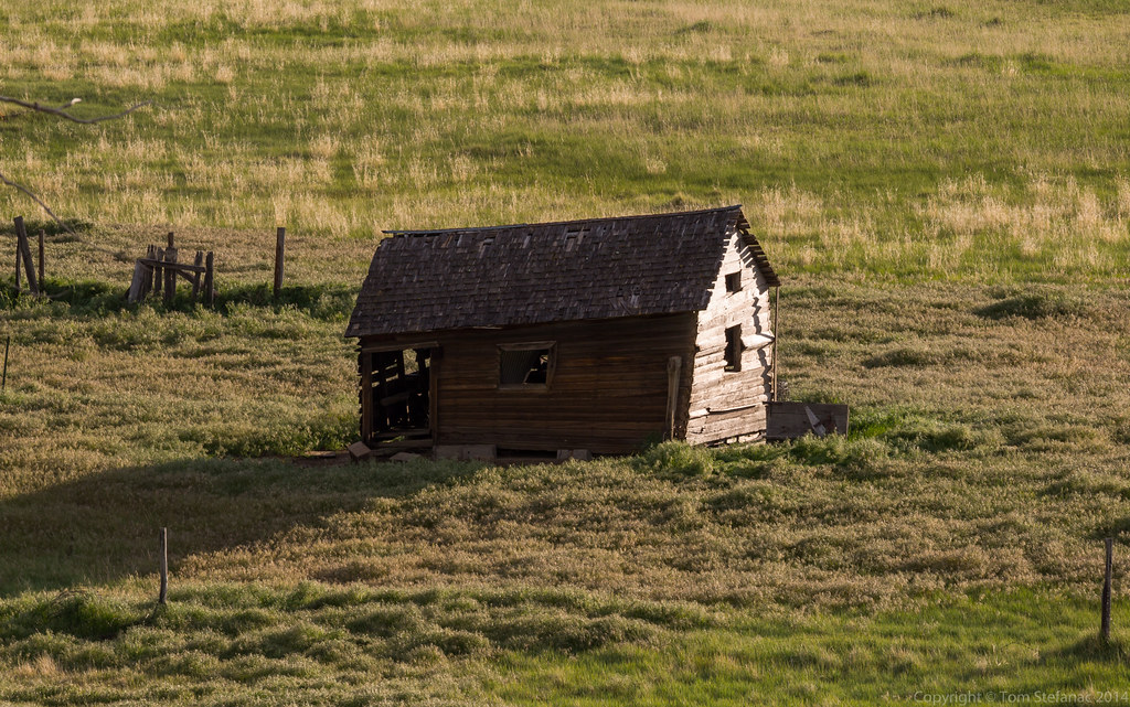
This was our last morning in Nebraska as we headed into Colorado.

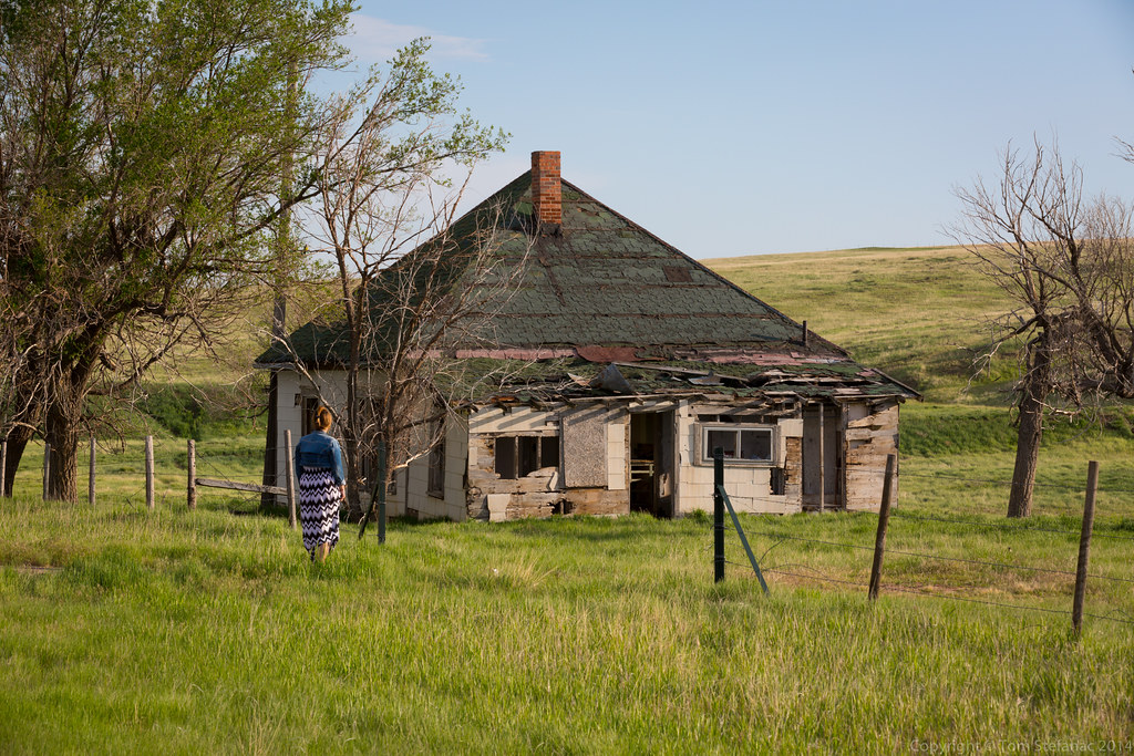
This was the first morning of several we would be spending in Colorado.

Initiation in Colorado was scheduled for around 1PM local time directly on top of Denver.
The NWS requested an 18Z (12PM) sounding.
The conditions returned looked pretty good with a substantial amount of low level moisture that was more normative of the eastern plains.

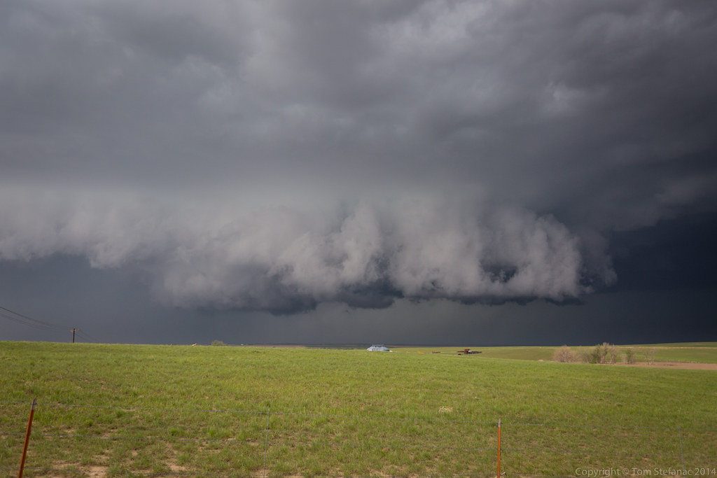
Just as I was approaching Denver around 1:30 the storm formed and became rooted in the boundary layer.
It was quickly severe warned with a tornado warning being issued around 2PM.

I kept my distance initially. There was no need to rush up to the storm, it was coming directly towards me and I wanted to enjoy it.
Like I have said numerous times before, the one thing I hate with storm chasing is having to constantly hop around with a storm.
Instead I much prefer to put some distance between the storm and myself so I can watch it for an hour or more as it approaches.

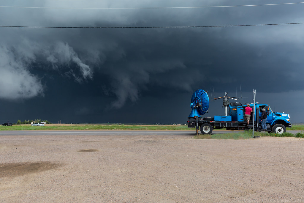
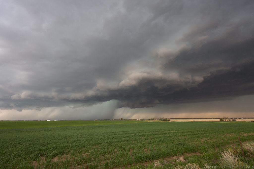
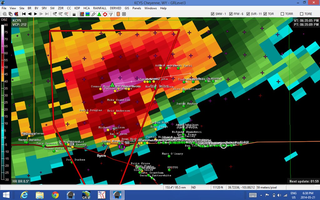
From my vantage point I could not see any large tornado structure within the storm, and it was just about on top of the Denver Nexrad site which did not indicate a tornado.
The gate to gate was pretty impressive closing in on around 80 knots. A brief rope tornado was reported near Water Tower Rd & 10th but this was never confirmed by anyone officially.

The dew points were really high in a relative sense, I think KDEN hit 57F and another nearby station almost got to 60F. To put it in perspective, dew points of 40 - 45 are pretty normal for storm days this far west so we were 15 - 20 degrees above that.
PW's (precipitable water) were around 1.1" for Denver which is really high too for a total atmospheric concentration this far west.
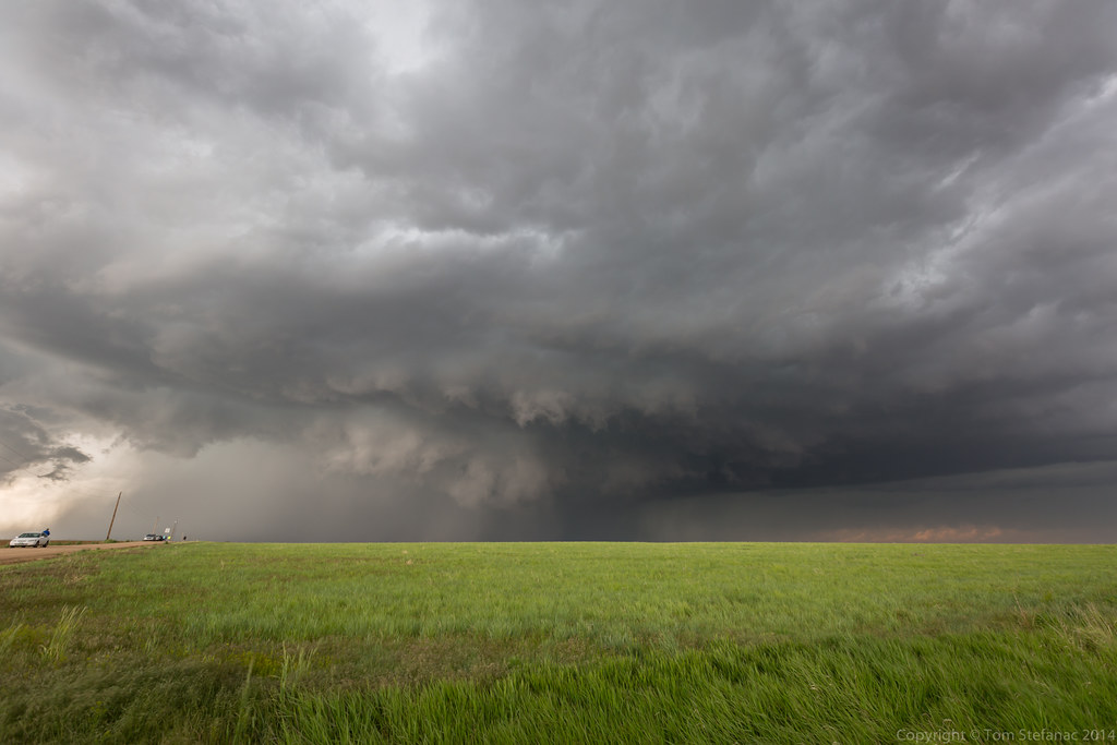
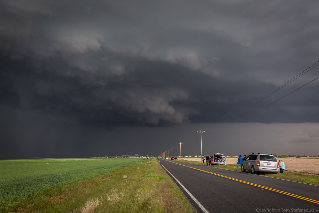
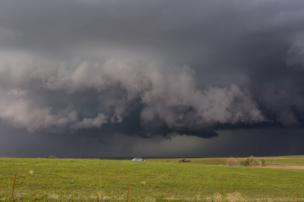
As a result the storm had a strong HP look and there was more atmospheric haze than usual.
That said, visibility was still good, in the photos prior and in this one you can see the radar dome from the local Denver Front Rage Airport some 10 miles away on the horizon.

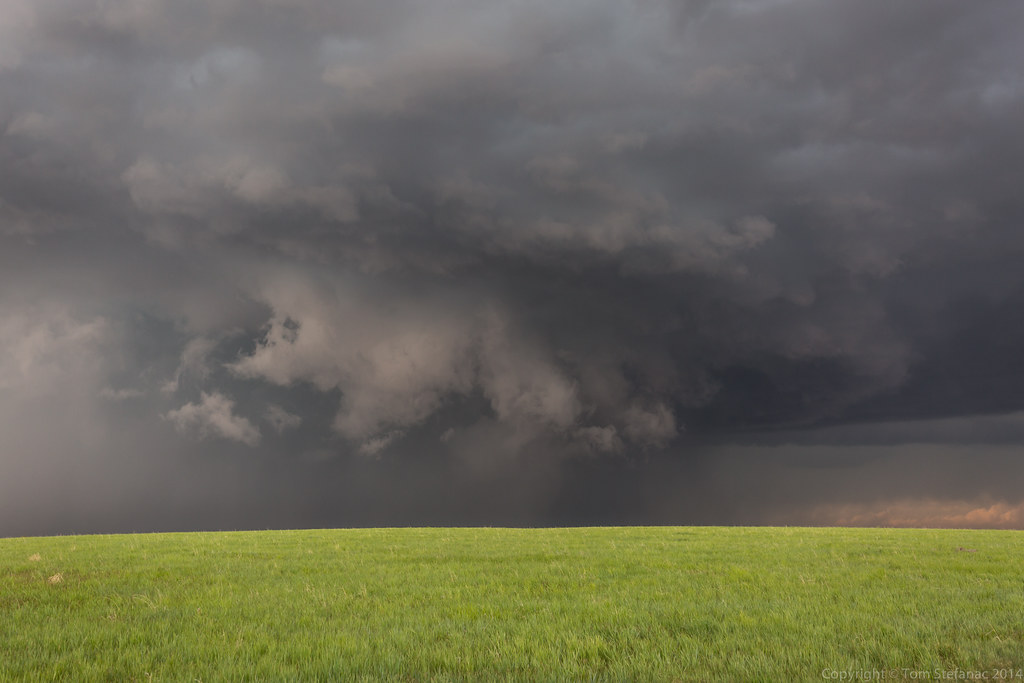
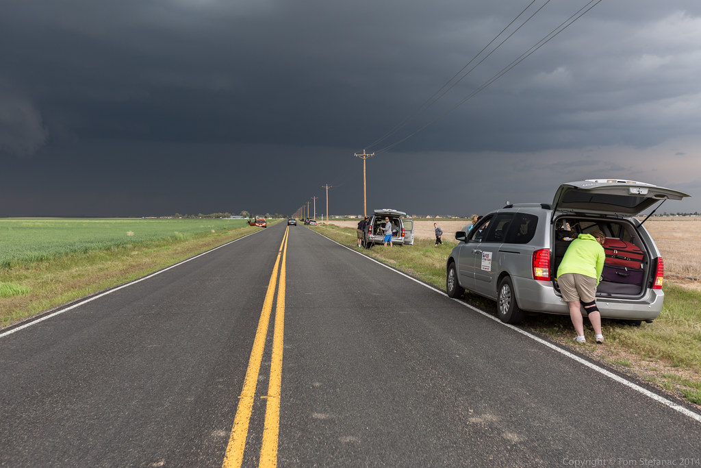
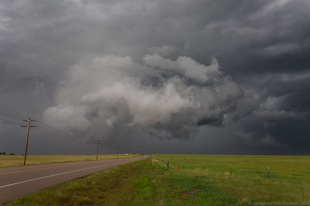
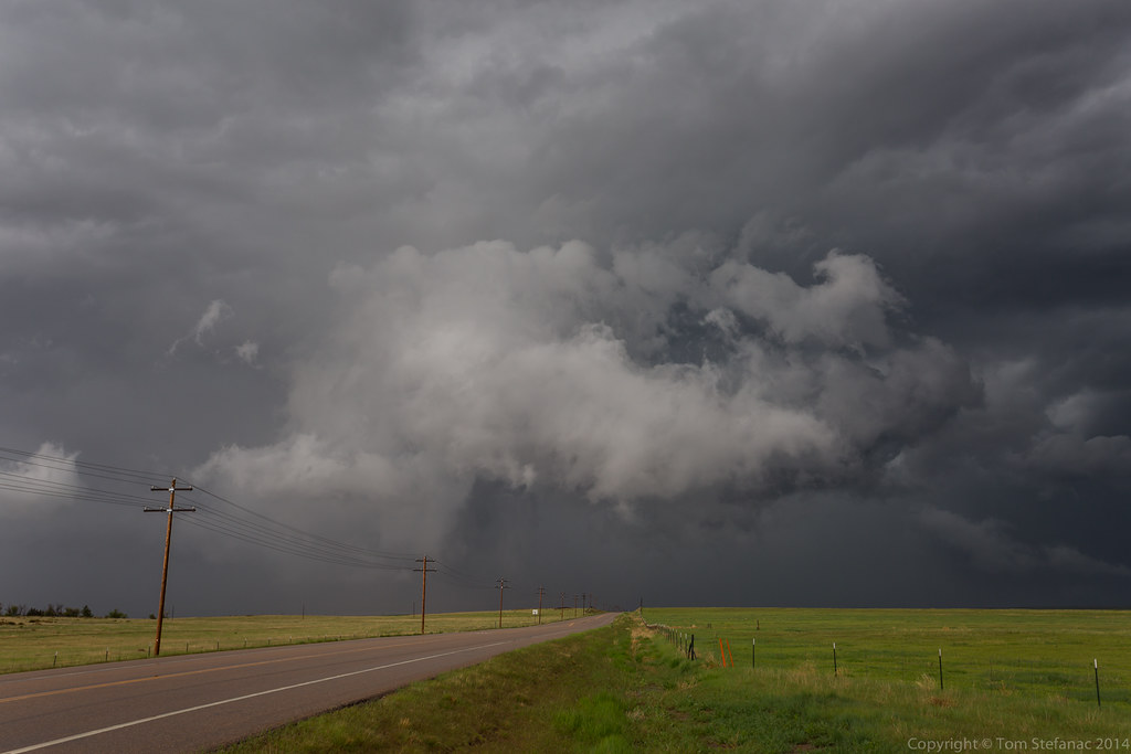
As the storm drew near I headed south and eventually stopped just outside of Bennett.
I always have a hard time judging distance when the visibility is this good. It feels like the storm is really close, maybe in the 2km range, but then I look at the radar and it's around 12 km away.
My Southern Ontario chasing biases really come to light in the plains.

The storm had a really nice solid core and good inflow around 30 MPH.
It looked like it was really beginning to wrap up and would try and produce something in a little while.
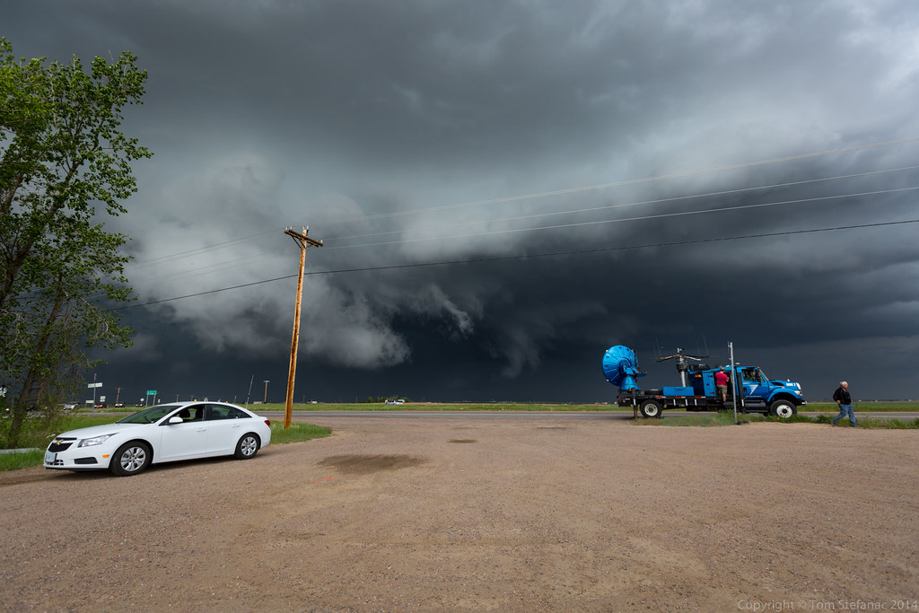
I also ran into Chris Kridler, a storm chaser whose work I have admired for at least the last decade and half. It was sure nice to meet her and her chase partner Peggy Willenberg (another longtime chaser).