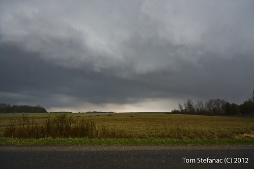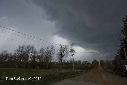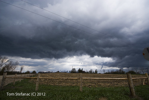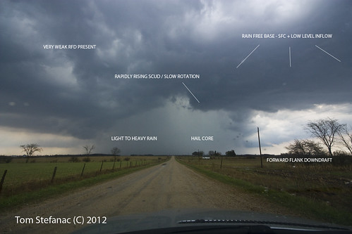
Here's an idea of what I was seeing. Tough to explain in two dimensions but remember I'm looking east from the west.

These were the largest hail stones I saw (and had dinged me). This particular stone was around 3 cm (30mm) in diameter. From spike to spike about 4.5cm across (45 mm).
The trees were well shredded in the community of Damascus (6 Line & Wellington Rd 16) where these hail stones fell. In fact the country side a couple km just west of town was where it was really bad.
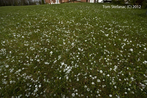
In the strongest of the cores (this again near Damascus) hail covered the grass. In some places much smaller 1/2 - 1 cm sized hail stones were about 1 cm deep with thick low hail fog.

The temperature behind the mature storm I was chasing dropped from 20 something to probably 14 (damn cold!).
It was chilly and this storm turned into a cold looking appendage of the prior storm which was producing the big hail.
It actually looked energized and was cracking off lighting like crazy as it was rocketing up on the northern flank outflow from the hail storm. It was cool to watch as it went from a lively warm looking storm to cold cold March looking storm as it crossed into the cold outflow pool.

This was the last real intercept of the day. This storm exploded directly above Moorefield and was south of all the previous activity in a far warmer portion of the airmass which was now outflow laden to the north.
This particular storm matured just east of Parker and continued to put on a show as it entered Belwood before becoming part of a larger sloppy MCS.
it was far more linear than the other storms but the southern most flank was producing some strong outflow relative all the other convection I had seen earlier.
I shot some video of the rain bands and wind whipping across a field and blasting a home.

The rain on the southern flank just behind the tail end of the flanking line dried right out and became a very turbulent dry rear flank downdraft that came across the field at a good 60 km/h. The air just ahead of the downdraft was warm and muggy.
It was cool but spooky in a way to have light south-easterly winds while a whistling sound was growing louder to my west before POW I was hit with the chilly winds.
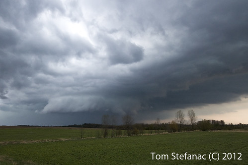
Whatever this storm was doing at the time it sure looked like it was rotating and trying to come together.
This lowering was right on the SW flank of the storm, you can see the flanking line to the right (east) and turbulent scud/stratus curls towards the left (west).
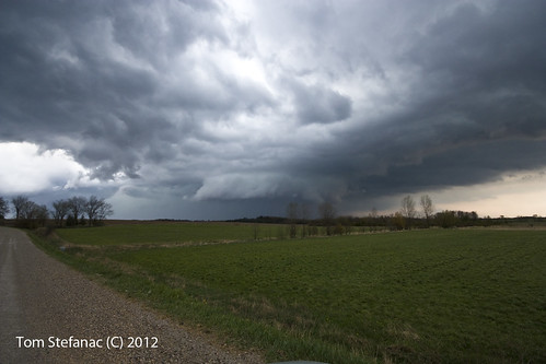
Here is a wider shot showing what I was seeing! Best structure of the entire day. The structure lasted a good 15 - 20 minutes from start to finish before the storm was gobbled up into the MCS that eventually hit the Greater Toronto area.
Great chase day none the less, nice to get out!
