
November 18th 2014
On November 20, 2014
- 2014 Storm Chases, November 18th 2014
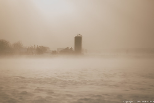
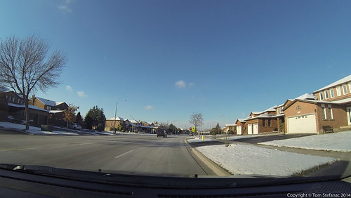
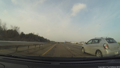
I had today off and there weren't any chores keeping me back. I was tempted to take a drive to the Buffalo area to see how their 6 foot lake effect snow storm was turning out.
I almost made the trip to Buffalo but decided it was looking too messy and impassible. When everyone is getting stuck there's no reason why I wouldn't either. The last thing I really wanted to do was spend the night stuck in the car or in a backup somewhere between Buffalo and Lackawanna.
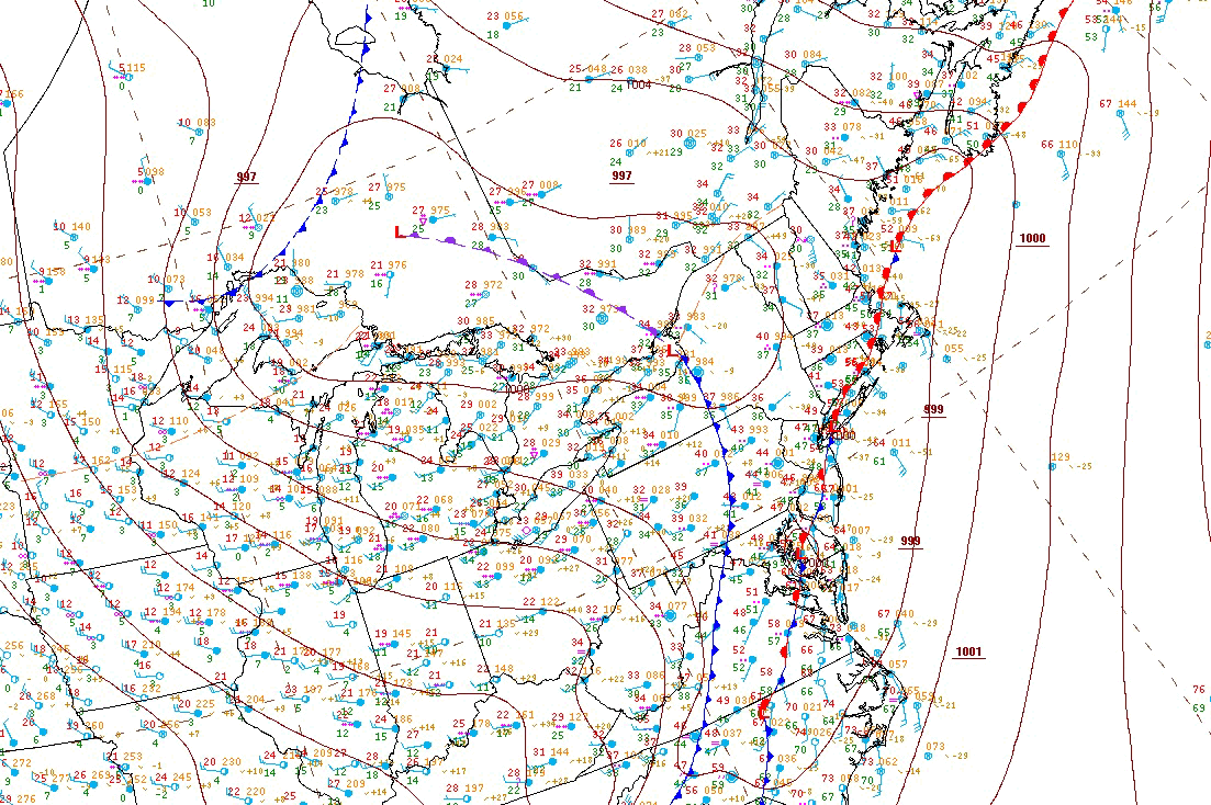
Instead I figured I would catch a classic Wasaga/Georgian Bay squall along a thermal trof driving south from Manitoulin. The WRF-NAM and HRRR had both handled the forecast well to this point and the Britt radar showed the monster squall coming together nicely over northern Lake Huron / Georgian Bay.
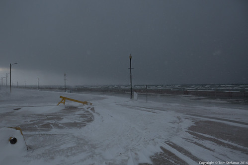
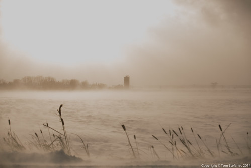
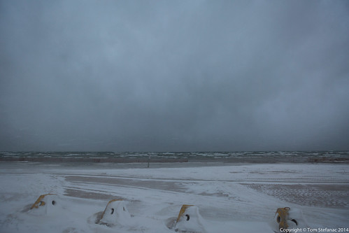
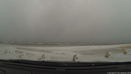
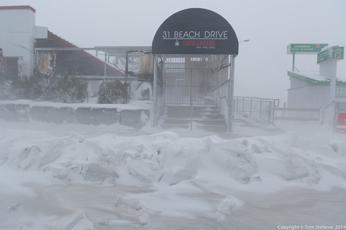
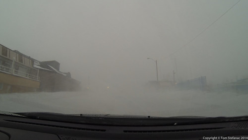
Wasaga Beach looks a little different in the winter... it's not as enticing to go for a swim! The squall line here was still out over the bay and starting to close in.
I had arrived just in time to watch the squall make landfall. There were a couple pre-squall bursts of snow, but it was mostly clear.
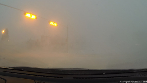
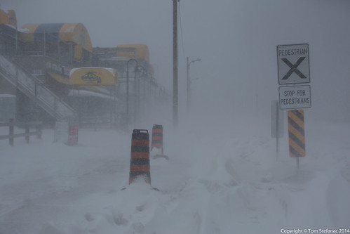
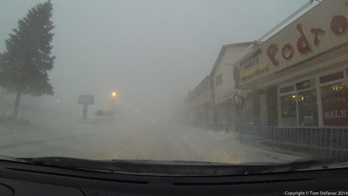
Pedro's is to the left, Pizza Pizza is to the right, what used to be a Dairy Queen is on the far left side of the frame, and a motel/hotel/coffee shop is to the right of the Pine Tree on the left.
I'm only telling you this because I spend to much time up here in the summer and clearly, you can't see anything in the video frame!
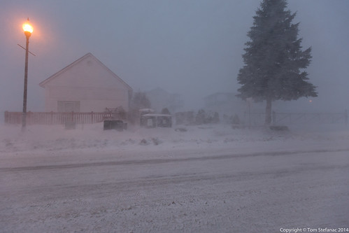
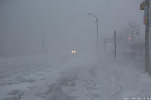
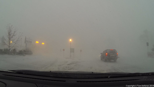
Pictures don't do this justice, it was howling and when I say howling I mean it!
What I found most unusual was that the winds were still sustained in the 60's gusting into the 70's. Usually as a a squall moves in the winds will rapidly ramp up and then quickly decrease to near zero with the heaviest snow falling straight down.
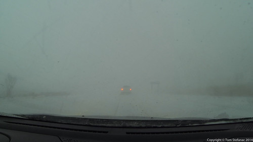
This squall was the exact opposite, it seemed to get windier as the snow rates increased and visibility fell to near zero at times.
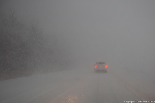
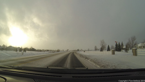
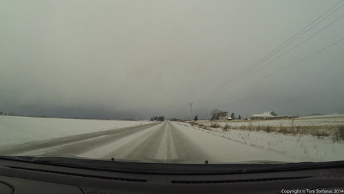
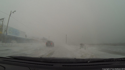
Getting out of Wasaga was substantially more difficult than getting in!
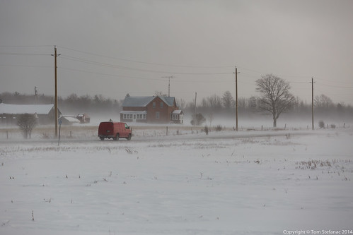
The danger here was oncoming traffic, people had no idea where the road, shoulder or anything was for that matter. Even the guy in front of me could not seem to find the road at times.
I've driven this route hundreds of times so I knew by memory where everything was, but someone who is unfamiliar with the area would have been in real trouble!
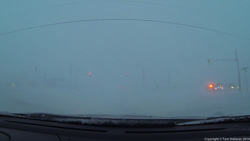
A second problem which was causing me unnecessary grief was that the OPP had started to shut down various roads.
As a result I was forced to take a more "scenic" route home.
At the end of the day I made it home after a 2 hour drive. Unfortunately, someone was killed on highway 400 just moments behind me near highway 89.
We often forget how dangerous winter weather can be!
Here’s a brief video showing how bad things were. Moving pictures tend to do these types of situations more justice than still photos. This was definitely one of the more intense snow squalls I can remember in a while!
