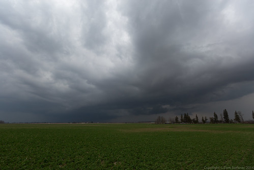
Today was one of those days, there was potential, but there were also a whole ton of question marks!
I took off westward around 1:30PM, I needed to beat the traffic coming out of Toronto and I wanted to be in position before the storms really started blasting off.
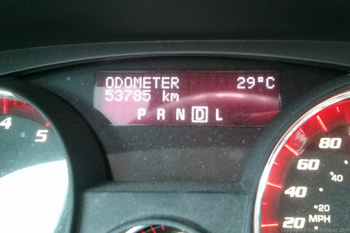
It was initially 24C when I left my house but then a short time later as I hit the escarpment in Milton I felt like I was running a fever. Then I looked down and saw that the temperature had jumped to 29C!
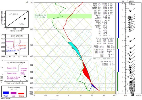
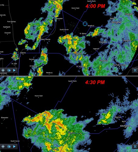
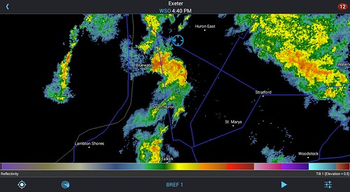
I eventually found myself just outside of Stratford. I was ready to intercept a cluster of storms that were rapidly bowing northward.
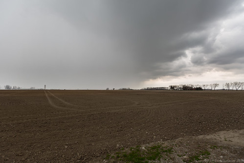
The storm had no definition whatsoever, it was really mushy looking.
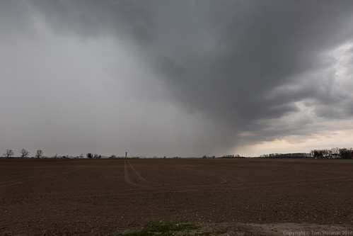
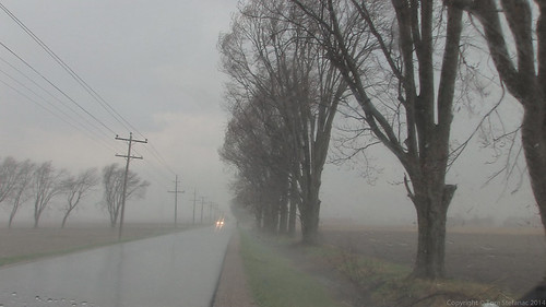
Here's the rain foot gobbling up the farms.
Here's a video grab, the storm sure blew through! I recorded a 78 km/h wind gust with my inspeed anemometer!
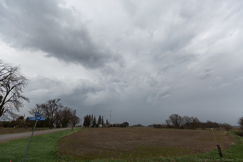
This was the backside of the storm as it kept rolling north at full throttle.
Despite all the warm air, surface interaction sucked.
I kept pushing west and prepared to intercept the second storm cluster as it too began to bow out towards the north near Seaforth.
As the storm came into view it had this mean look to it and seemed way more surface based than the previous storm.
I spoke to a fellow chaser, Andrew Colvin, who was already on the storm and he reported much the same.