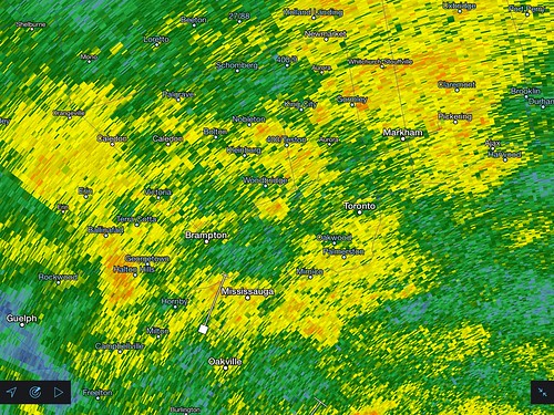
This was a very unusual weather patter for late June. Basically, a low pressure system amplified by a neutral trof developed over southern Illinois and quickly deepened when an MCS formed with the center of the low and fed back energy. The low pressure system then quickly tracked north-east from Indiana and occluded as it reach Southern Ontario. Despite the occlusion occuring, there was enormous low level wind energy and weak instability which allowed the system to continually fill with rain and weak embedded storms all in addition to remnant moisture from the pre-existing MCS.

Despite this being a synoptic system that really just made for a miserable and cool weekend, I somehow decided that it would be a good idea to head down to the Lake Ontario shoreline. It was actually very tropical storm like with constant winds and rain bands battering the shore and his actually created some interesting weather.

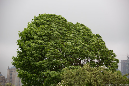
The winds were pretty strong from the get go and they were poised to peak around 9PM. I headed down early around 6PM, and the force steadily increased with each gust feeling a little stronger than the last.

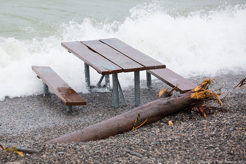
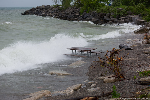
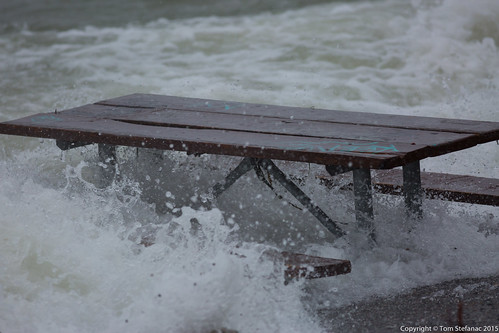
This ill placed park bench was quickly becoming a victim of the storm with waves lapping it and the small stones and shale gradually swallowing it up. Often people will drag benches right to the waters edge, so who knows how long this bench was sitting

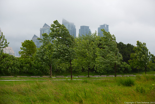
The cloud ceiling was low at 400ft AGL, it was cool watching the cloud zip past the tops of the condo buildings with such a strong low level wind flow.

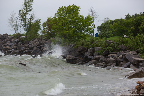
The trees in the foreground really give you an idea of how hard the wind was blowing, it was keeping everything in full motion and even kicking up spray from the lake.

I chose to venture out to the shoreline with my 70-200mm lens because it is weather proof and had the push and pull I wanted for a variety of shots. Stormy weather along the shore always looks better tighter than wider.

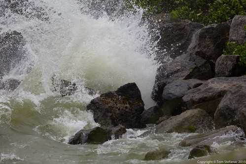
This was cool, the waves on the lake are rarely ever as big as fair weather ocean waves but today that was the case! It was neat to watch them roll along the rocks.

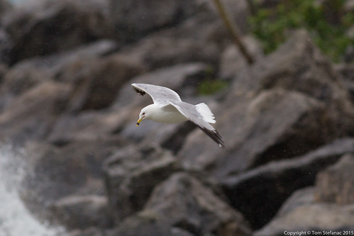
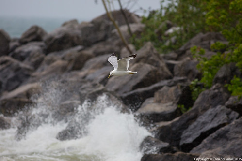
A stormy day would not be complete without some shots of birds hovering in the strong winds!

The beauty of the 400mm lens is that even in crappy weather, the lens hood really protects the lens from rain drops and speckling. Plus, it's great for super tight shots!

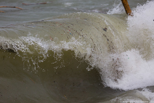
Crash! Check out the stick being thrown into the air.

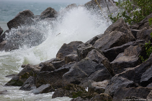
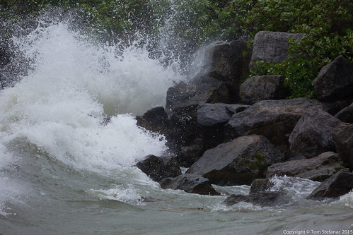
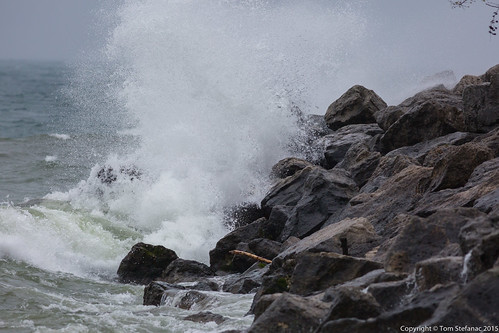
This wave literally exploded on the rocks.

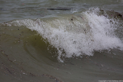
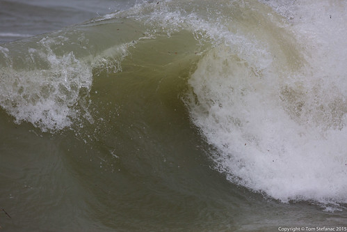
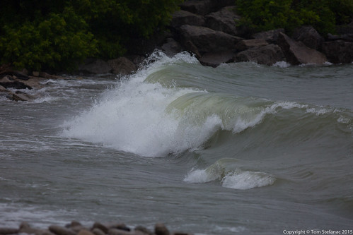
Usually the lakes don't really have waves that curl and break, instead they just break with small white caps and not much structure. The wind direction today was however prefect for curling waves.

The waves which were slowly getting bigger also grew in depth as the wind pushed and walled up more and more water at the western end of the lake. The waves were also becoming dirtier as they pulled apart the shoreline.

Yes, an almost perfect curl.

The waves were becoming more vicious and the bench was really getting drowned in the rough surf!

Here are the waves curling and crashing ashore with more energy than they had before.

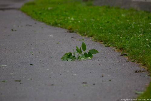
The strong gusty winds were also starting to tear small branches from the trees. I left around 7:30PM so I can only imagine the damage became much worse around night fall.

This was my favorite photo from the entire adventure, it was the best wave explosion that I photographed during this excursion.

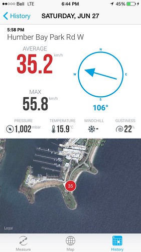
I used my new Vaavud anemometer with my iPhone to guage the wind. Gusts were getting into the mid 50s and it was sustained below that into the 30s and 40s. While it was October like it was still warmer than than it usually is in October!

Here's a shot of the radar, it looked like this all day! Rain bands just whipping around in the increasing winds. Really tropical storm like!

