Monthly Archives: October 2015
September 9th 2015
On October 21, 2015
- 2015 Storm Chases
 Not a storm chase per say. While on vacation in Florida this tropical thunderstorm about 70km away lit up the horizon with awesome lightning!


October 17th 2015
On October 21, 2015
- 2015 Storm Chases

October is notorious in Southern Ontario for wild swings in weather and the third weekend of October proved to be one of those wild rides. Just a week earlier I was celebrating Thanksgiving in a t-shirt and shorts with temperatures of 24C but that warm spell was crushed as cold polar air moved in the following Thursday, and even colder air flooded in Friday evening setting the stage for strong snow squalls Saturday morning.

By 8PM Friday a well organized lake effect rain squall was pushing inland from Georgian Bay and I figured that I would prepare myself for what would likely be an interesting Saturday morning.

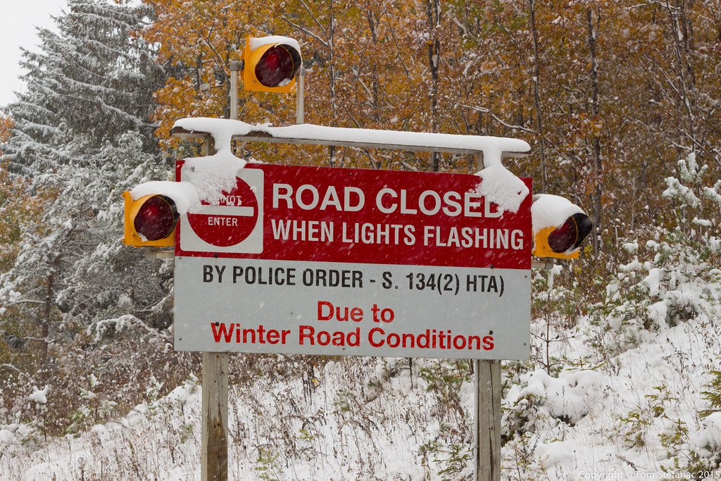
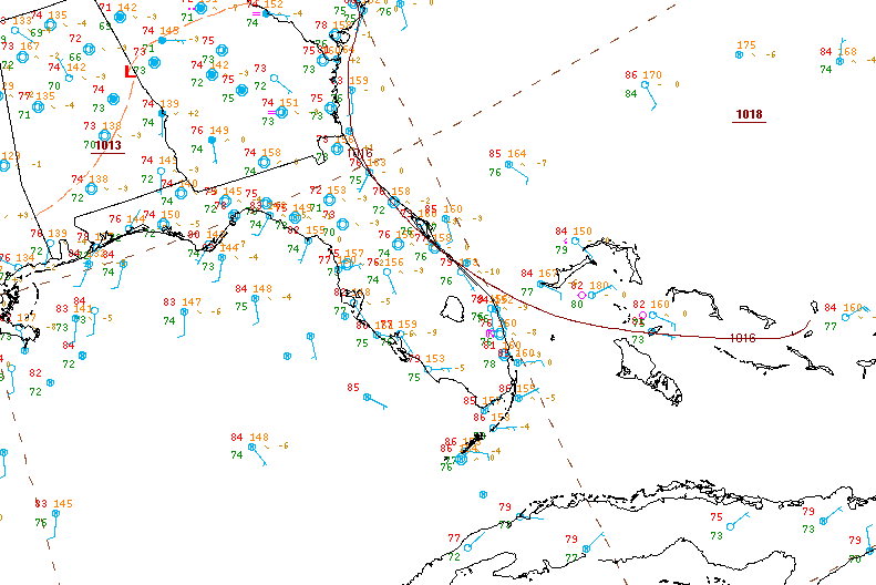
Just an hour earlier snow squall watches were replaced with warnings. Some forecast models such as the WRF-NAM, HRRR and HRDPS were plopping almost a foot of snow in the highlands between Blue Mountain and Feversham. I figured the amounts were high since typically, most October snow melts on contact with the warm ground and air temperatures usually don't hang below freezing for any length of time. Plus, the lakes are still very warm and really moderate any cold air masses.

I got up relatively early Saturday morning and headed out the door around 9:30AM. There was a large sustained squall exactly as forecast. I really had no idea how much snow was falling since webcams in this area are sparse and squalls can be very local. Needless to say a cold sunny morning turned into a cloudy snowy morning near Honeywood.

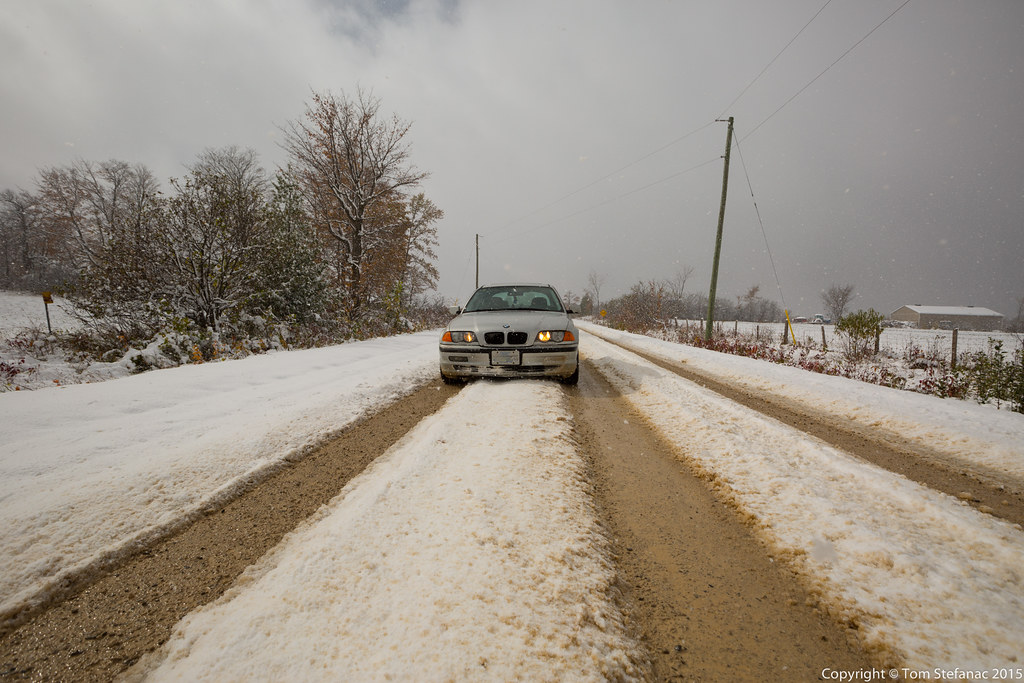
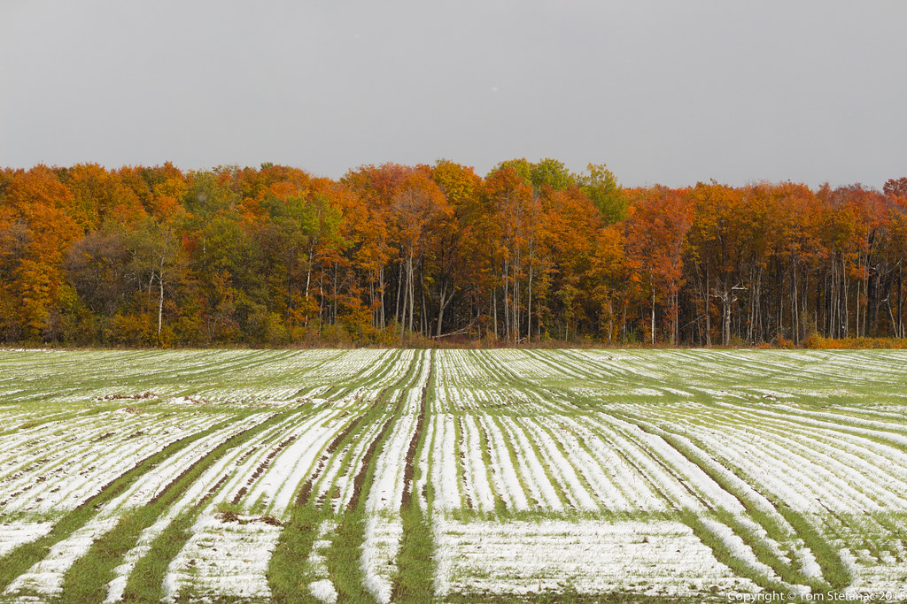
I stopped in Honeywood to grab a few photos. This was the first significant snow I encountered and accumulations ranged from 1cm to about 5cm locally. The roads were mainly bare and wet with the odd slushy section. Nothing my rear wheel drive car with summer tires couldn't handle.

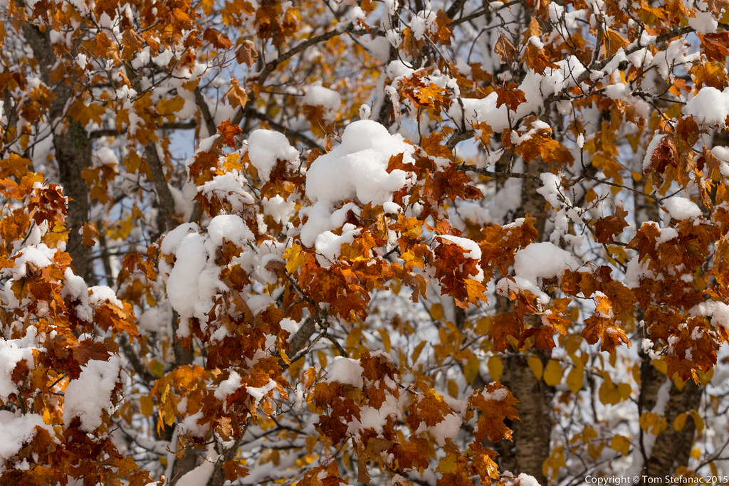
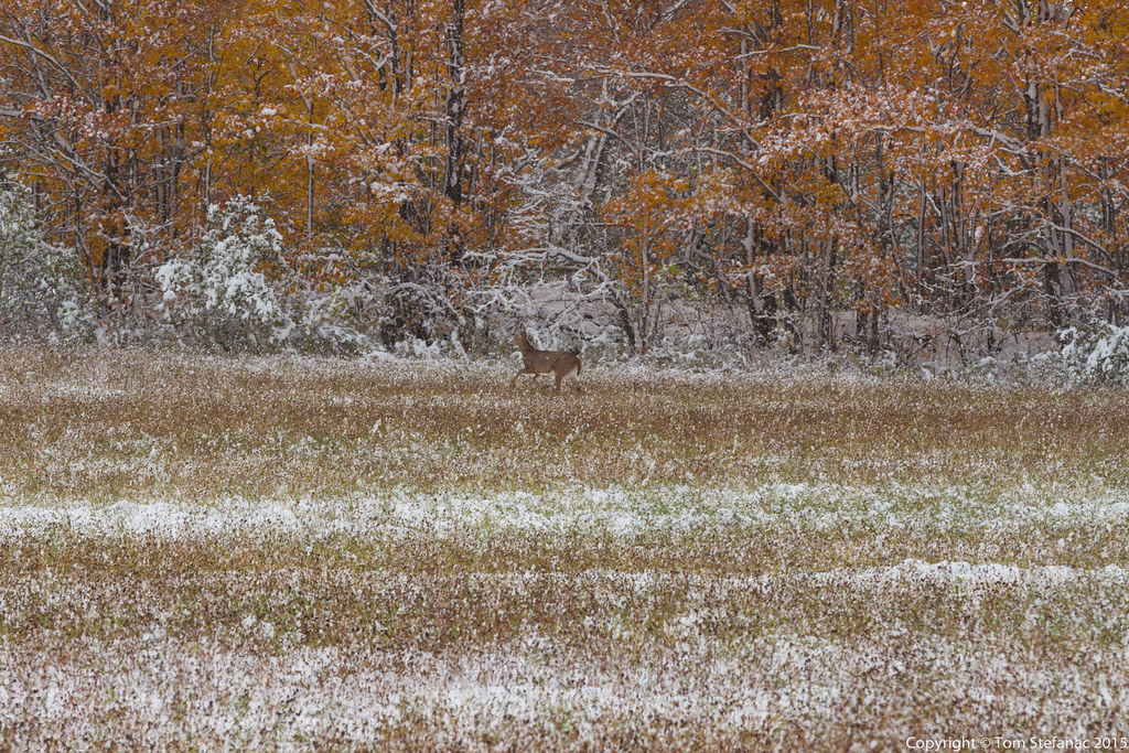
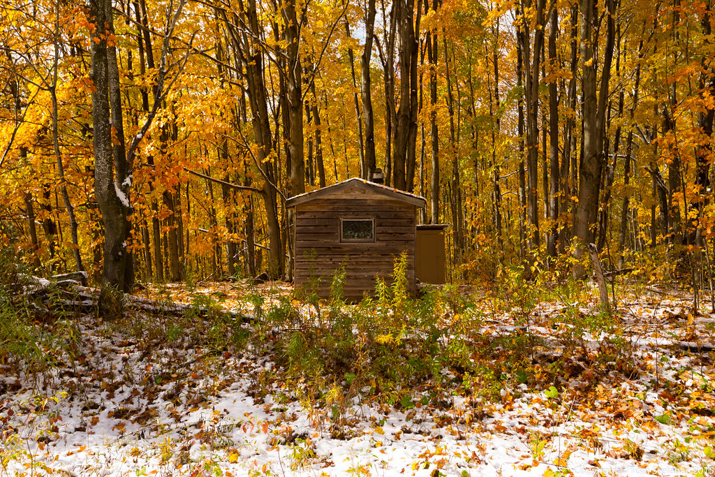
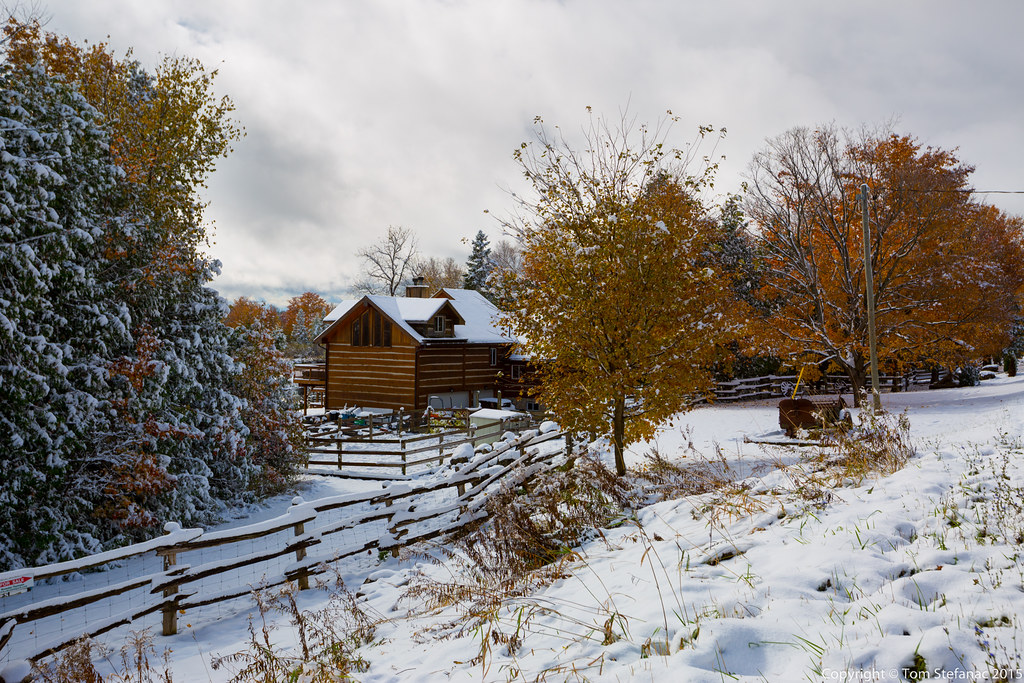
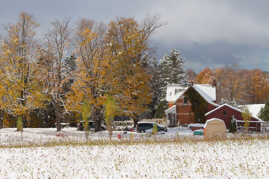
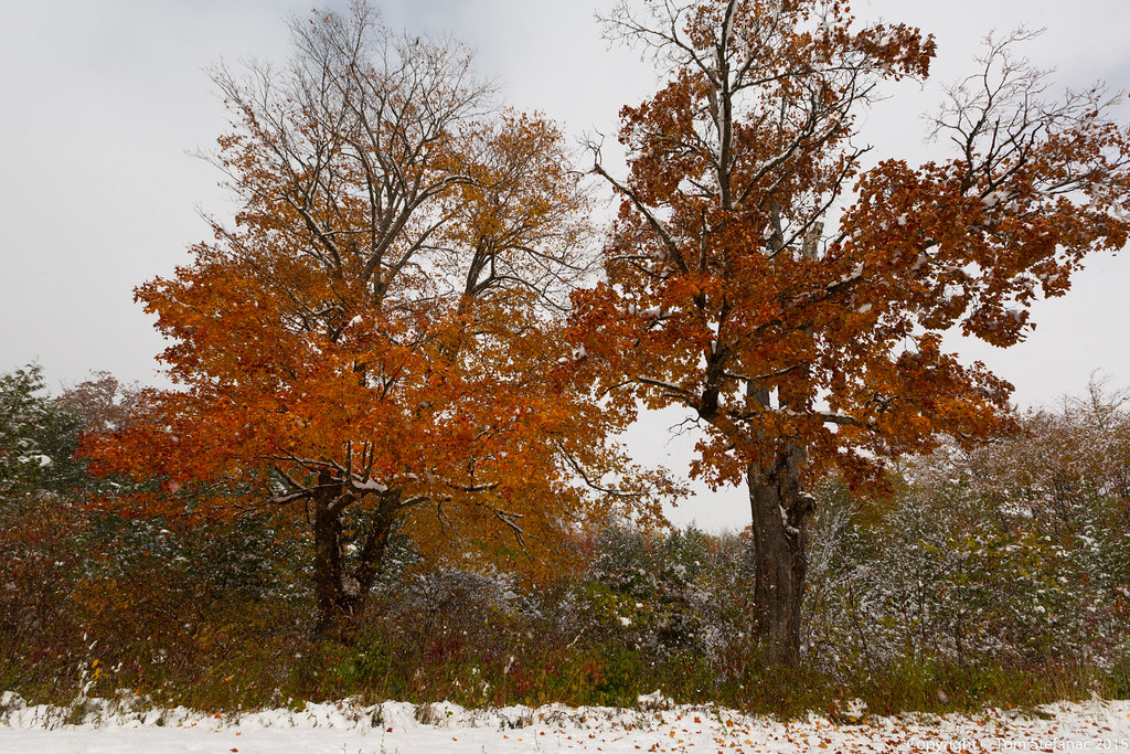
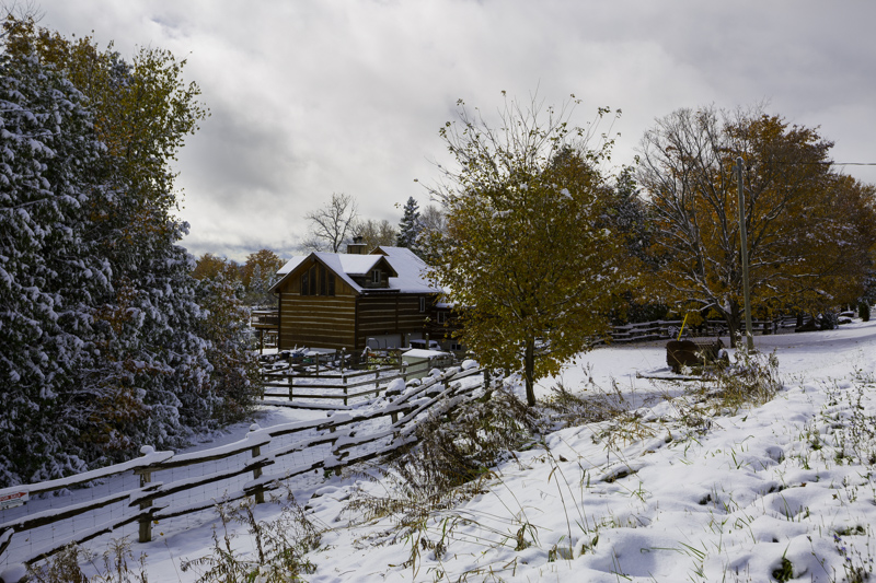
I really lucked out, mother nature timed the snow squalls almost perfectly to coincide with the peak of the fall colours. The trees looked beautiful and the white blank landscape was very strange.

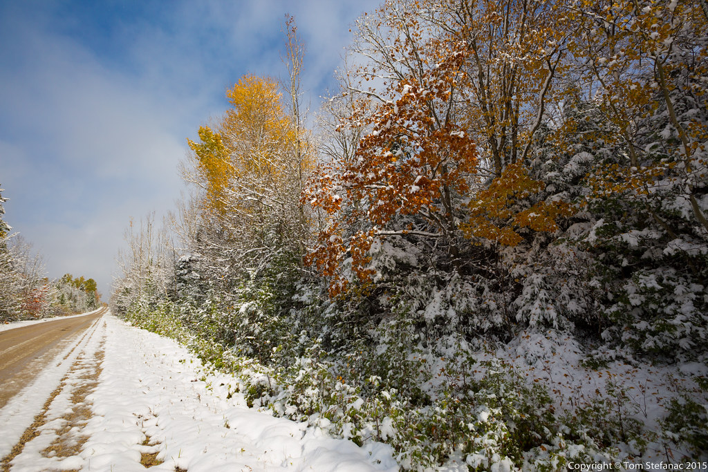
This was the first really colourful wood lot in the snowy landscape that I happened to come across. I made sure to get a series of photos. I was worried the weight of the snow and wind the previous day would have stripped the leaves farther to my northwest and did not want to forgo any potential photos along the way.

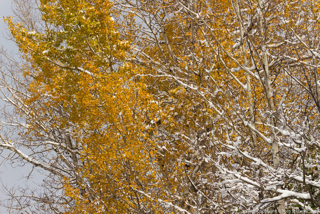
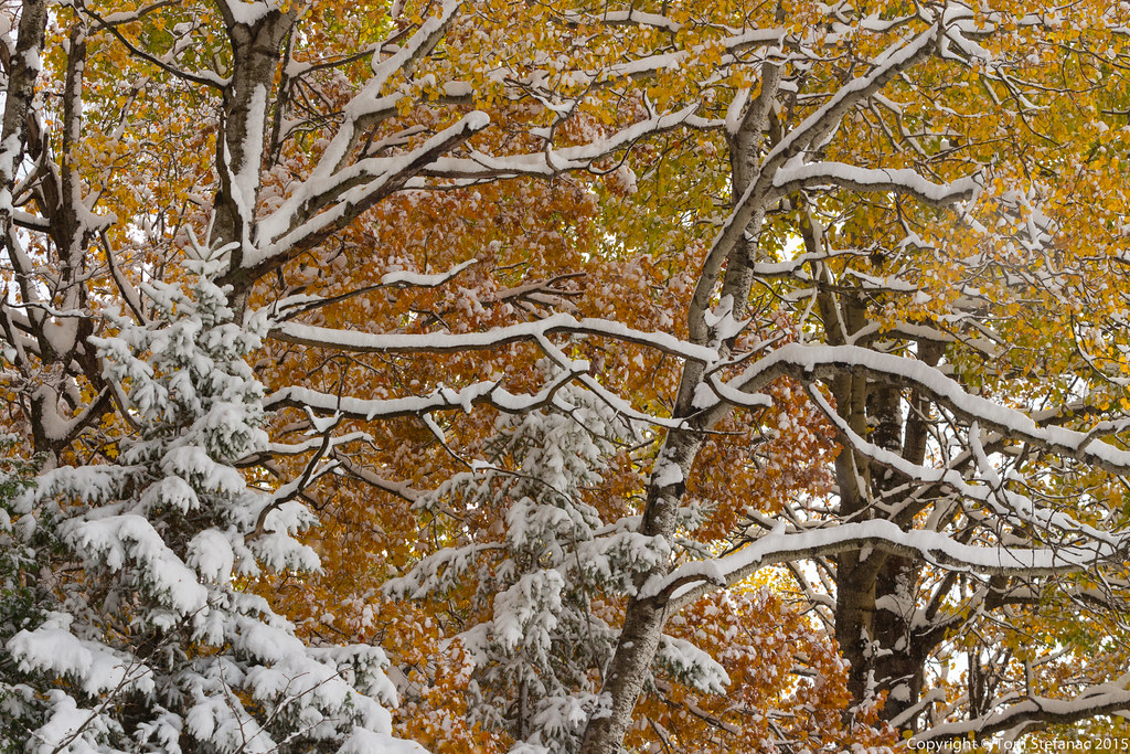
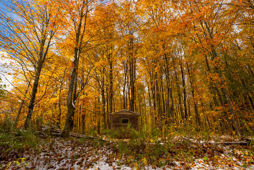
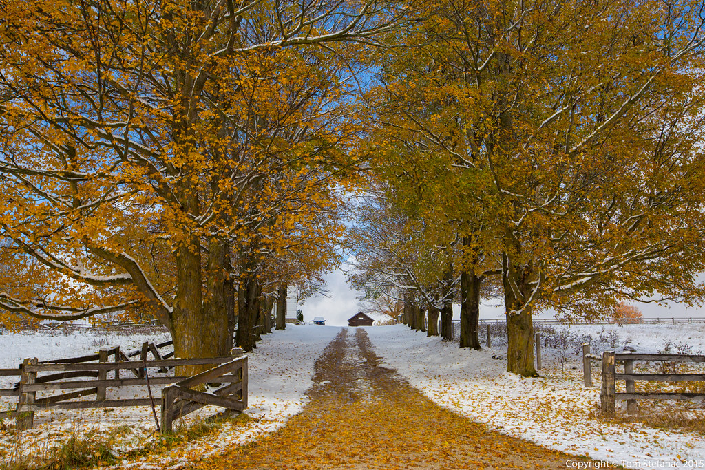
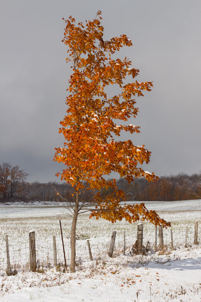
I slowly drove up the road looking for some interesting subject matter when the sun suddenly popped out. I literally jerked the car onto the shoulder and was already stepping out before I had fully stopped. These windows of sunlight don't last long, you're literally dealing with a few seconds if that!

The only thing that would have been cooler would have been a blue sky!

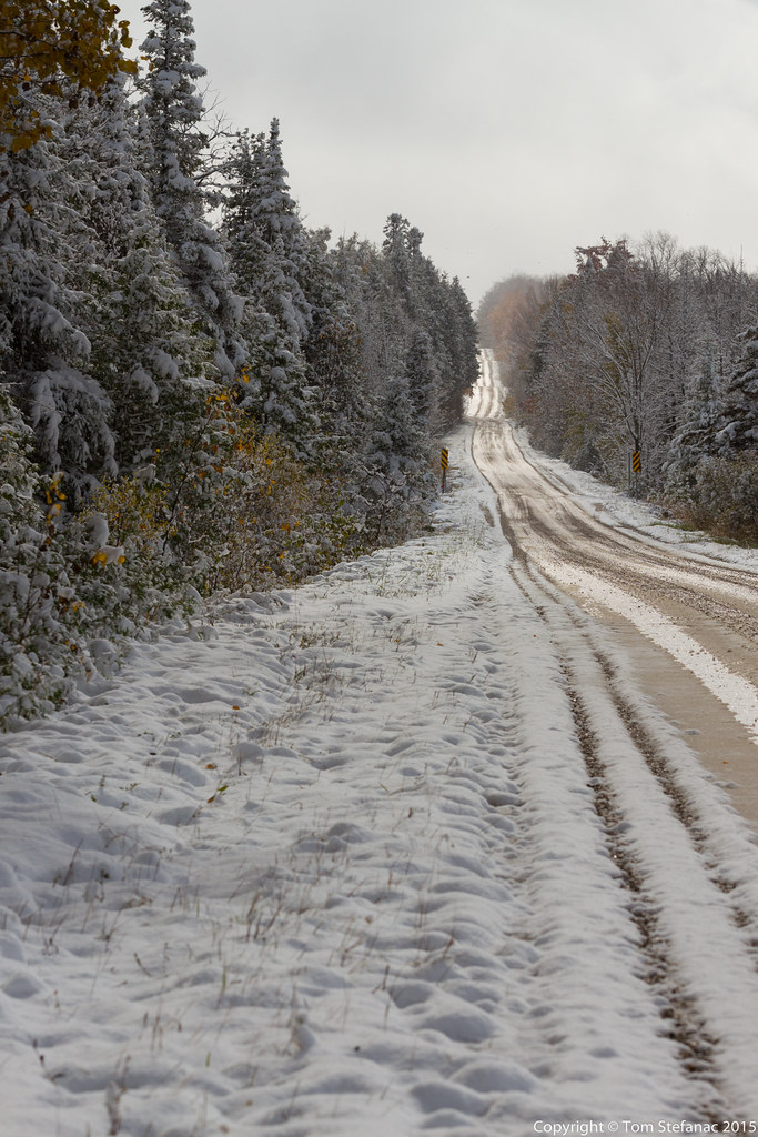
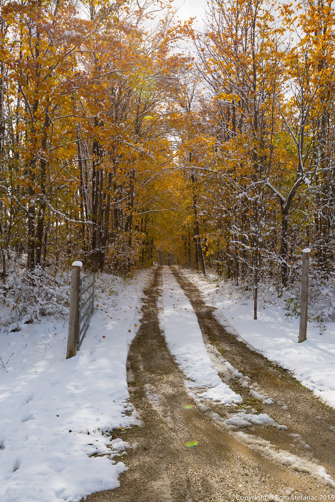
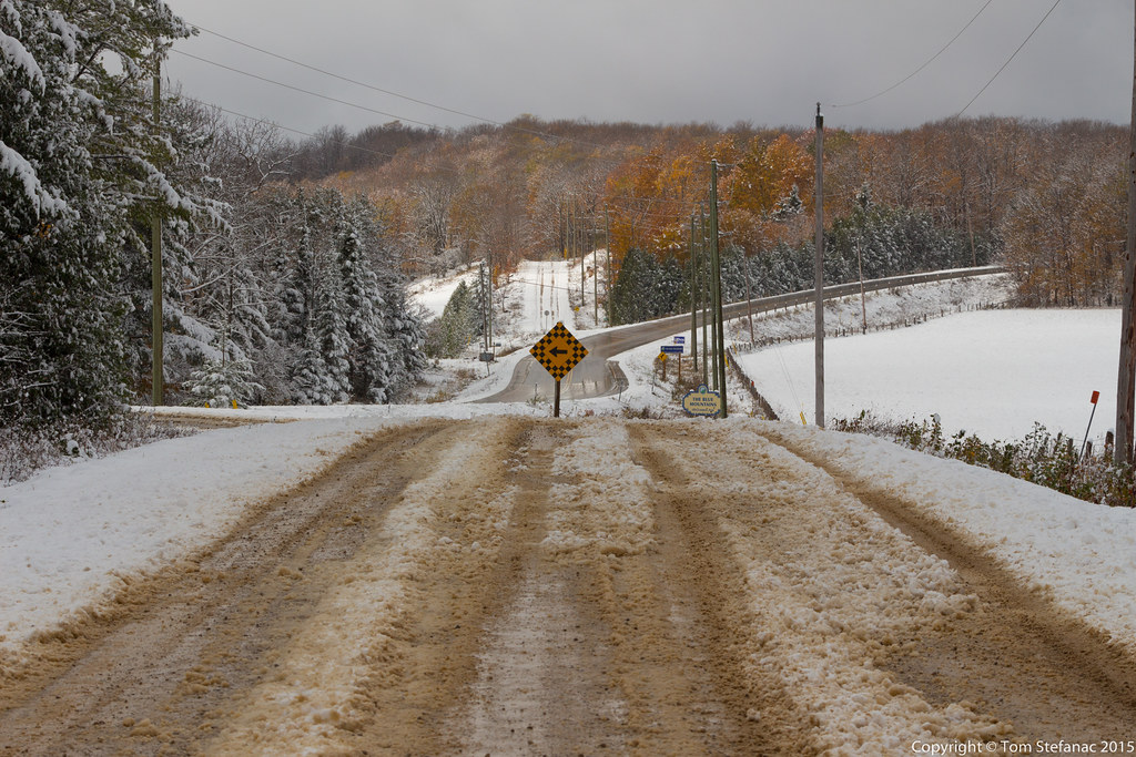
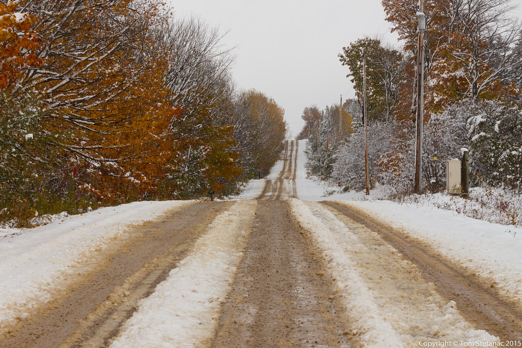
I slowly drove deeper into the squall and eventually ran into treacherous roads near Singhampton! Cars were in the ditch, visibility was a couple hundred meters, there was hard paked ice and the temperature was zero! Yikes, way worse than what I had expected! My tire tracks revel the depth of the snow here, you can see it's a good 5-7cm deep.

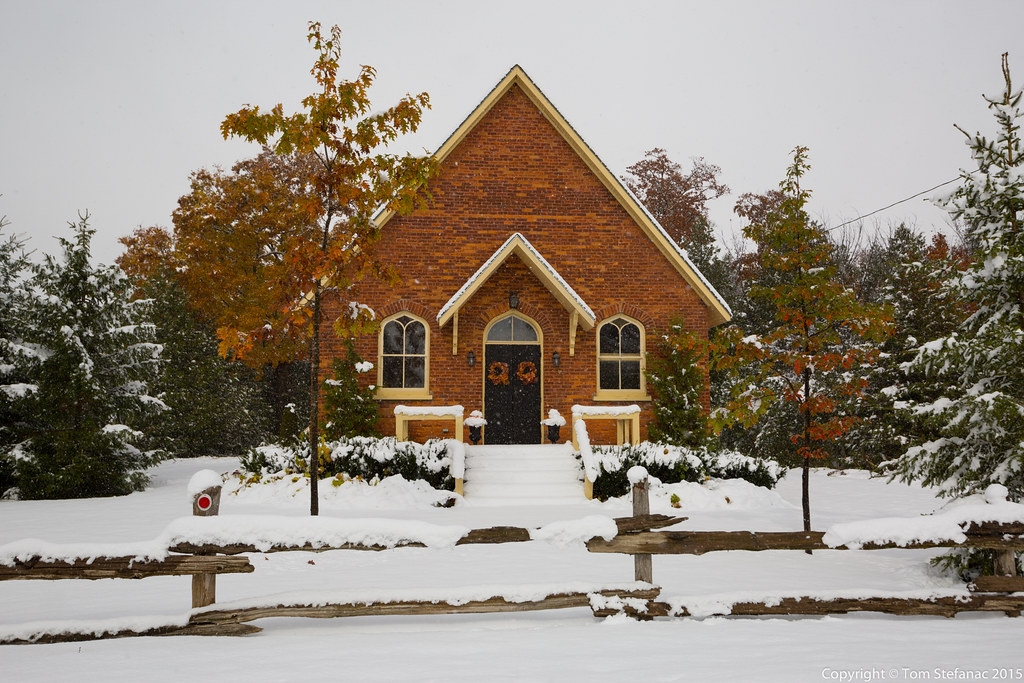
The heavy snow under the squall reduced visibility so much that anything more than 20 or 30 meters away became washed out. It was not a good spot for photos, but I did find this cool building with an old horse and buggy car in Rob Roy.

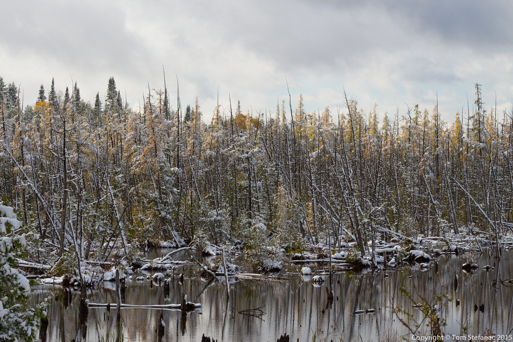
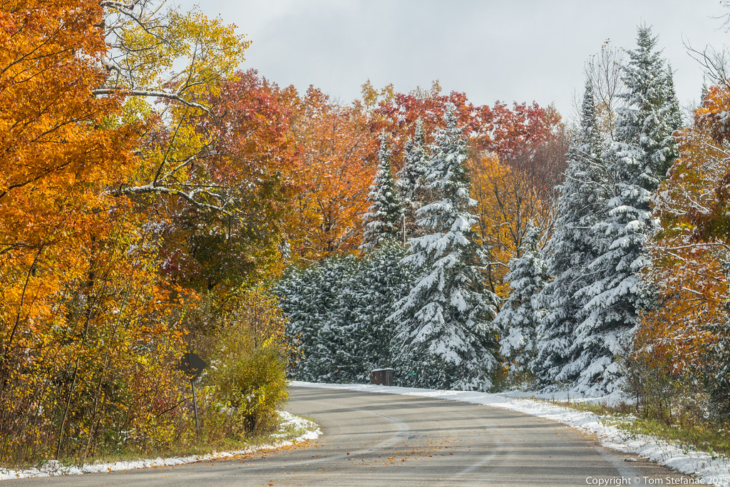
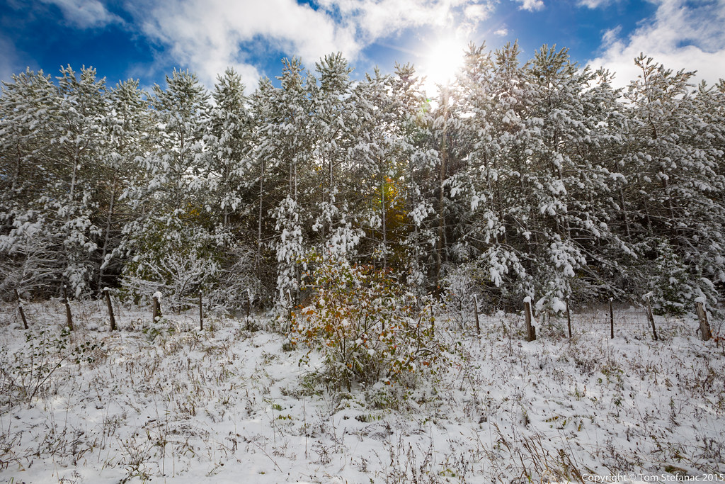
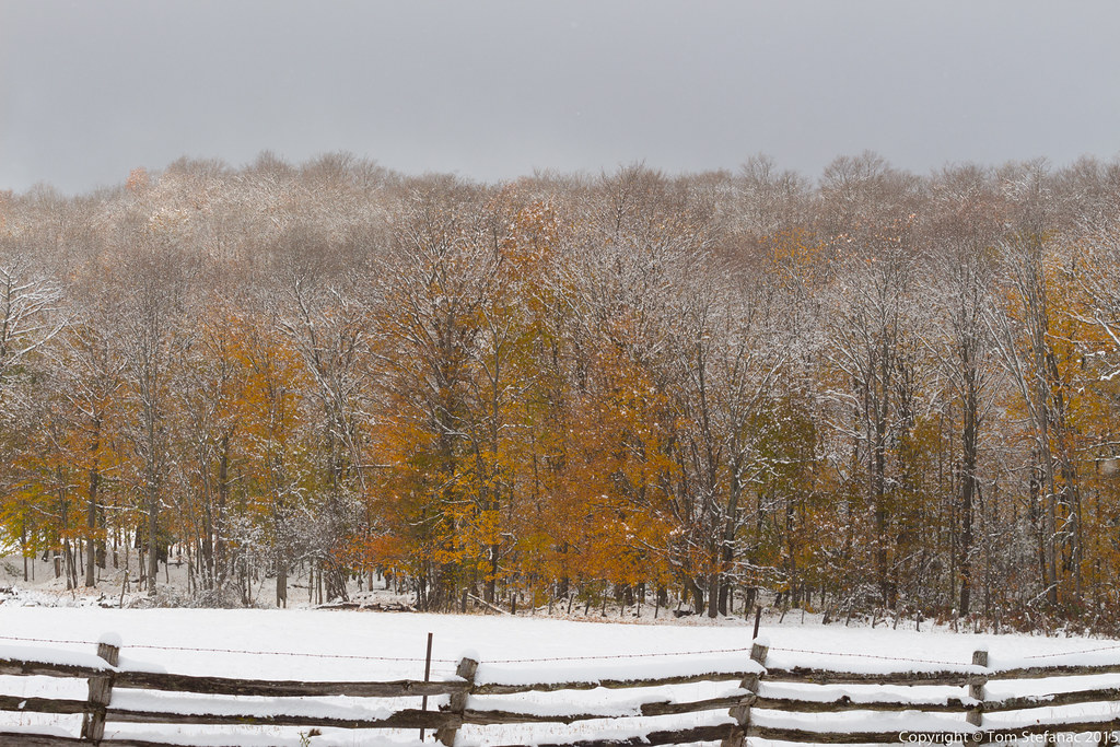
This was the scene just a few hundred meters down the road from the horse and buggy house. Looking at these pine trees it sure felt like December!

Believe it or not there was a solid 10-12cm of snow covering everything! That's a heck of a lot of snow for October, especially given how wet it was

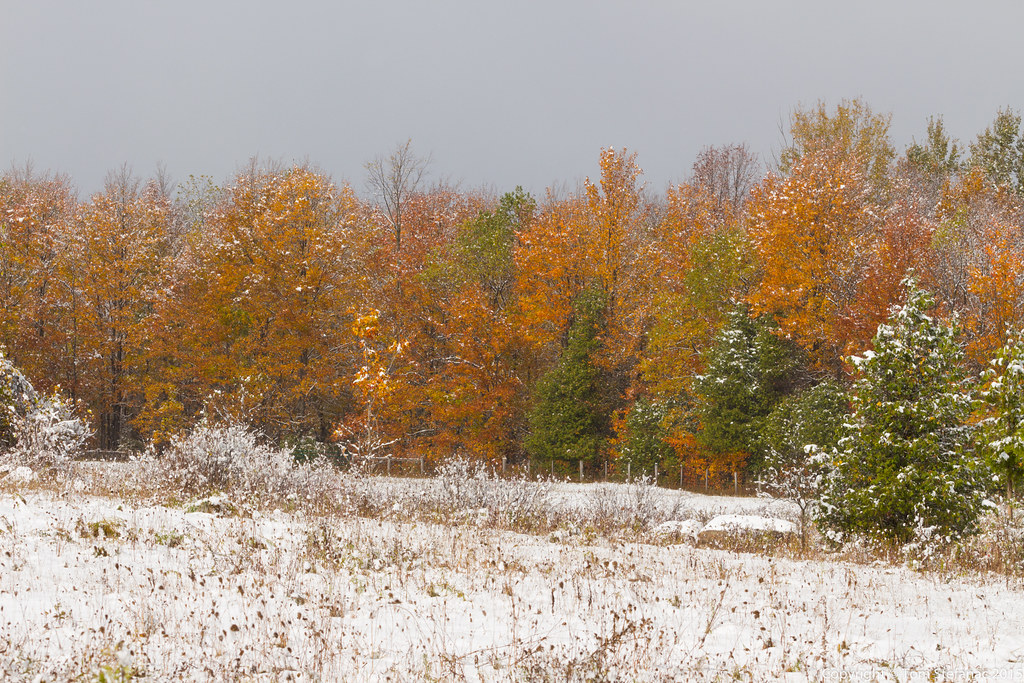
At this point I paused for thought. While the snow was cool, it was simply obscuring visibility far too much. The colour in the landscape was lost and believe me, I'll have months to photograph snow. I decided to push west to get to the edge of squall where the snow would stop.

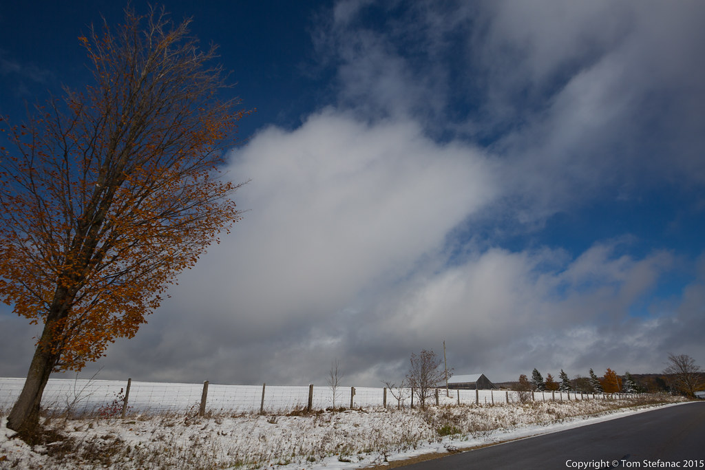
After looking at the radar and visible satellite I decided to head southwest. It was my best bet for clearing and even some blue sky. This photo was taken in Ice River Springs at 10th Concession and Highway 2. You can see the sun was poking through the squall.

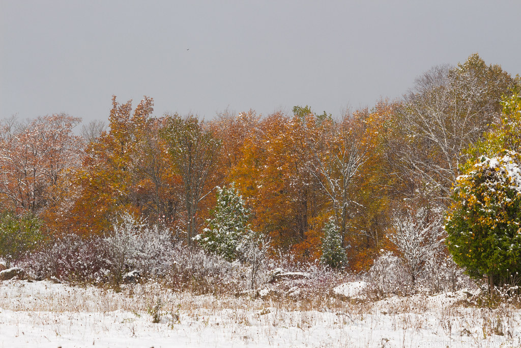
Just as I was about to escape the squall another wave of snow closed in darkening the sky and coating the landscape. So I did all I could and kept heading west.

Suddenly the sun came out again just west of Feversham near Lady Bank. While navigating through the squall I was also looking at Google Maps satellite images to find forested areas. Flat farm land is good for storm chasing but not very good for fall foliage.

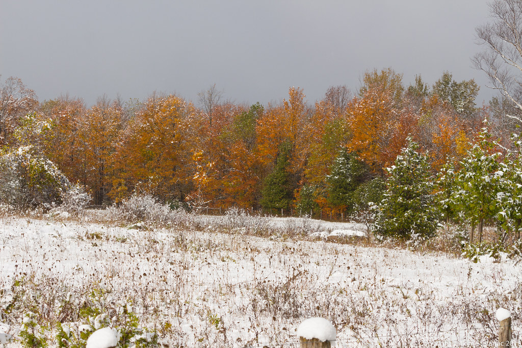
Presto! What I was looking for finally happened, the squall cleared and sun came out. It was very surreal to have blue sky, convective cumulus, snow flakes and fall foliage. The temperature also jumped up to what felt like 7 degrees.

I quickly snapped photos where I could before the squall closed in again. I realized the snow on the trees was melting quickly so it was indeed warmer and very surreal.

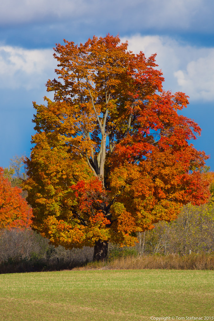
I finally found the colour contrast I was looking for.