Posts Tagged: thunderstorm

May 15th 2013
Surface analysis 12Z Wed May 15 2013


April 18th 2013
Surface analysis 18Z Thu Apr 18 2013


July 14th 2016
Surface analysis 00Z Fri Jul 15 2016


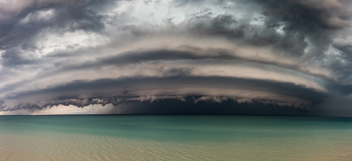

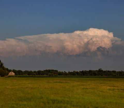
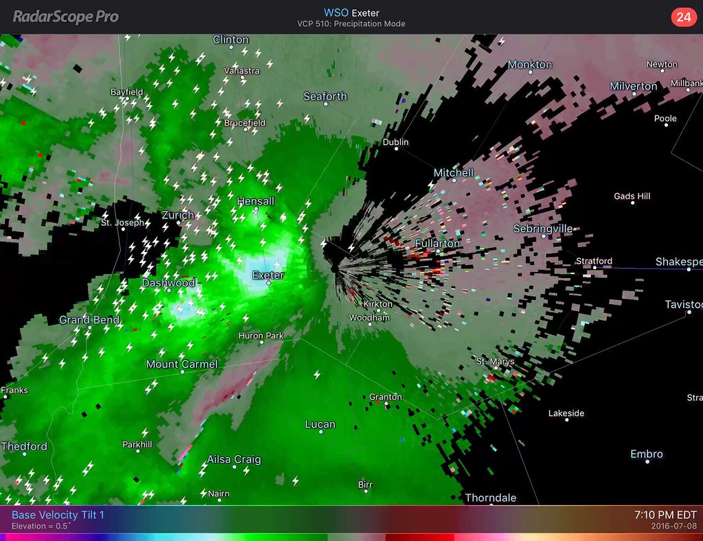
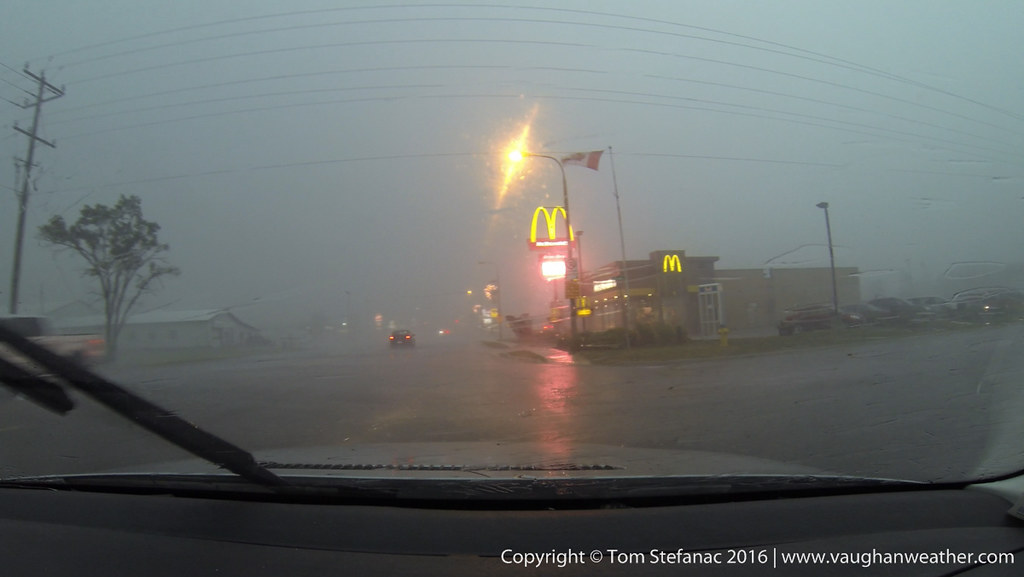
July 8th 2016
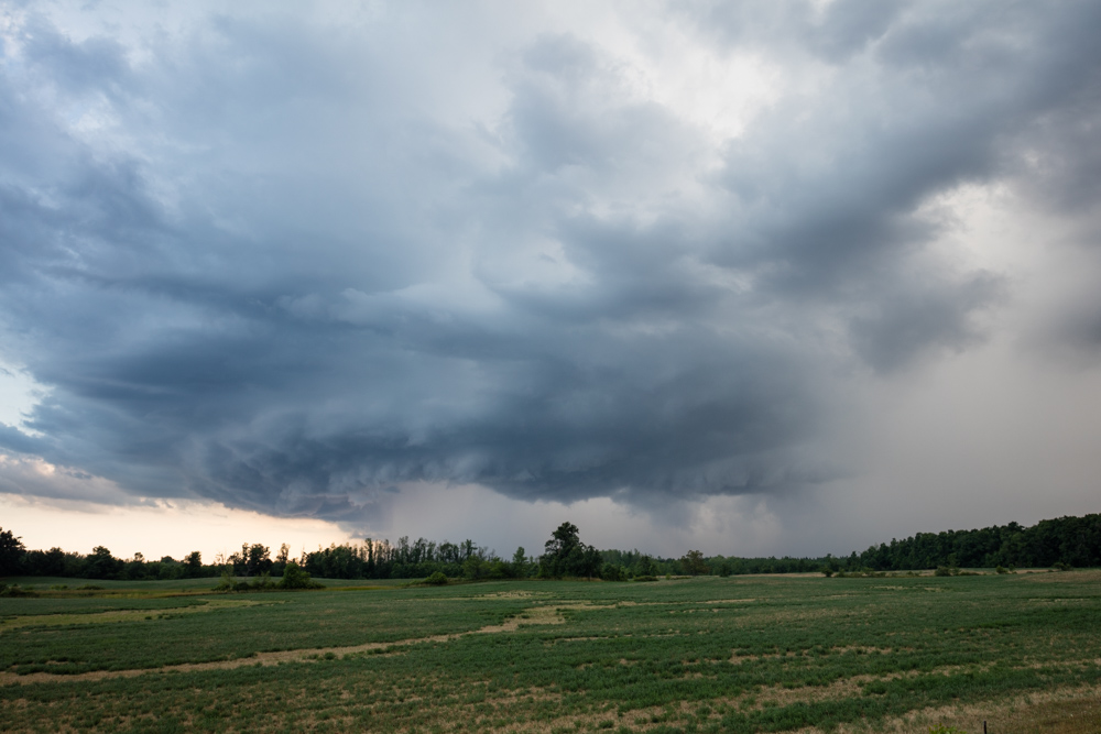
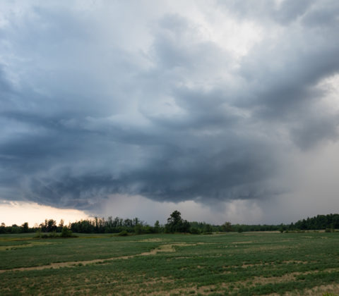
The first really active chase day of the year for Southern Ontario that was not a bust with widespread convection and severe weather ranging to hail to wind and even some local flooding. The entire day basically focus around an incoming low pressure system from Michigan with a trailing cold front that was crashing into very hot and humid air as a 500mb shortwave scooted past to the north.
After a quiet May and June, the storms were welcomed and helped to ease the drought conditions imparted across much of Southern Ontario thanks to a very dry and storm free spring and early summer.
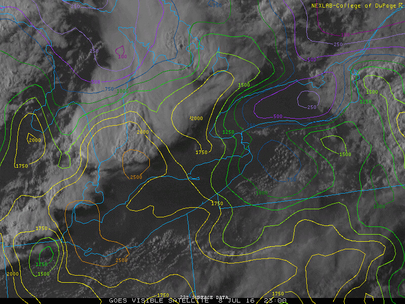
Surface analysis 21Z Fri Jul 8 2016
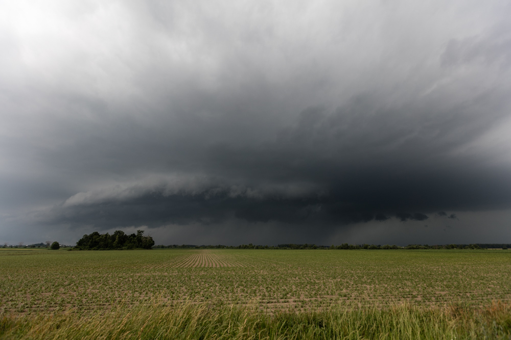
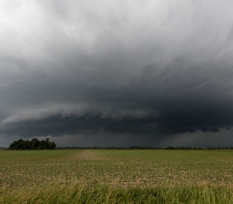
I started the chase day in Woodstock Ontario around 2PM as I focused on two possible targets eventually narrowing it down to the area around Goderich. As with every storm chase, looking at the surface observations and being in position early rather than late is always important and critical! Playing catchup or being unaware of the atmospheres potential is never a good thing and can really make or break a chase day.


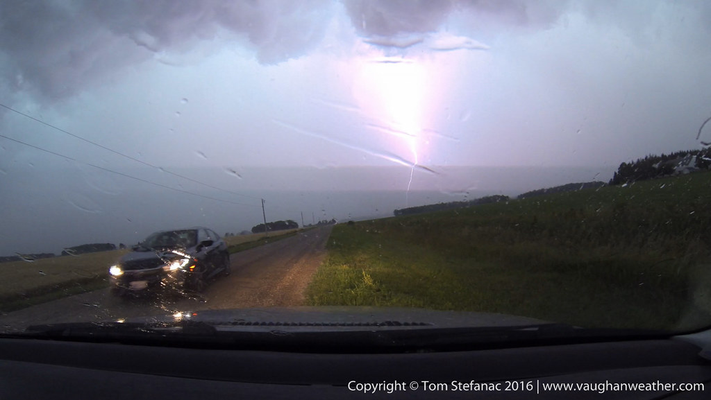

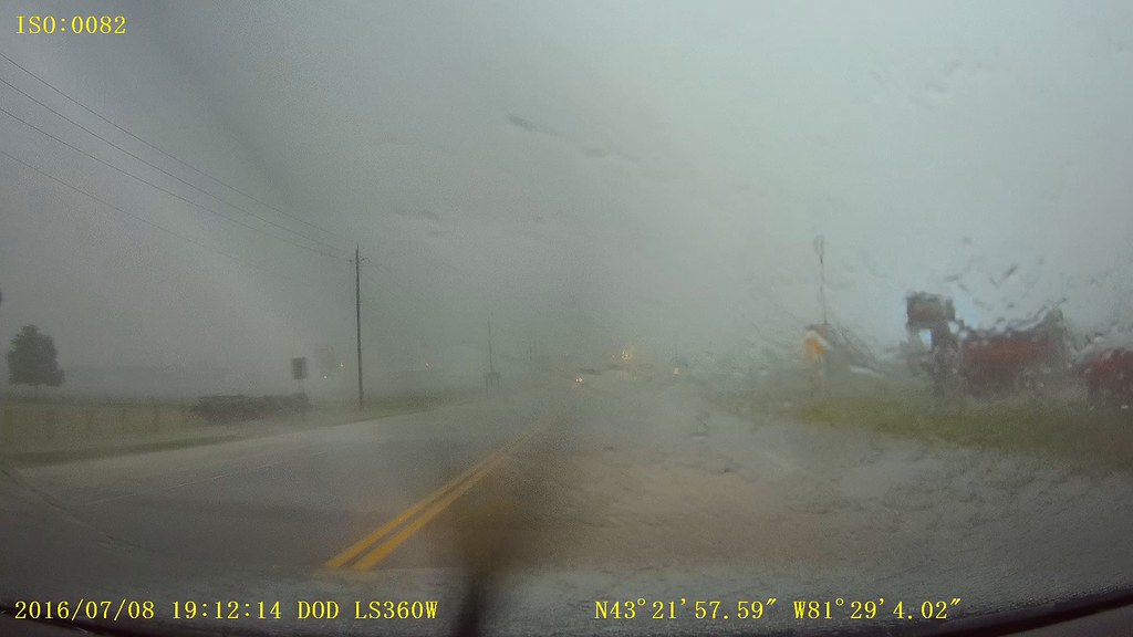
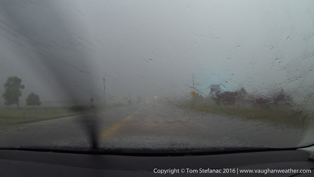
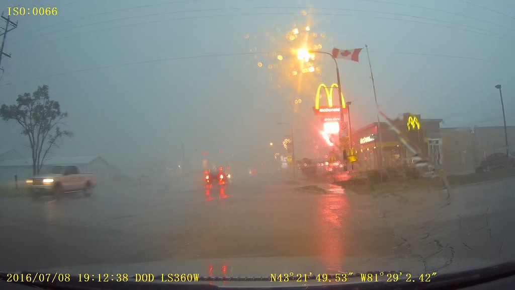

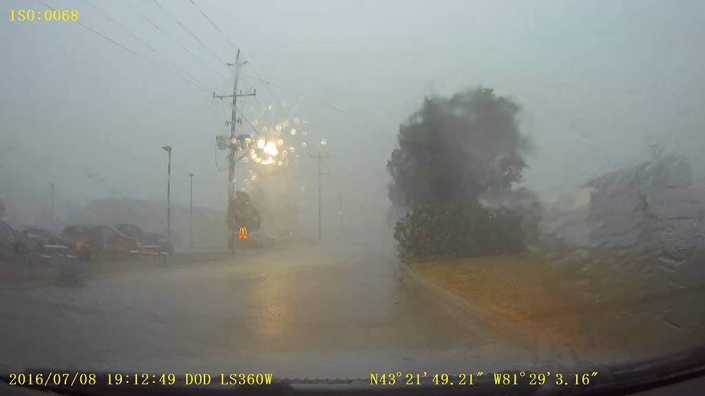
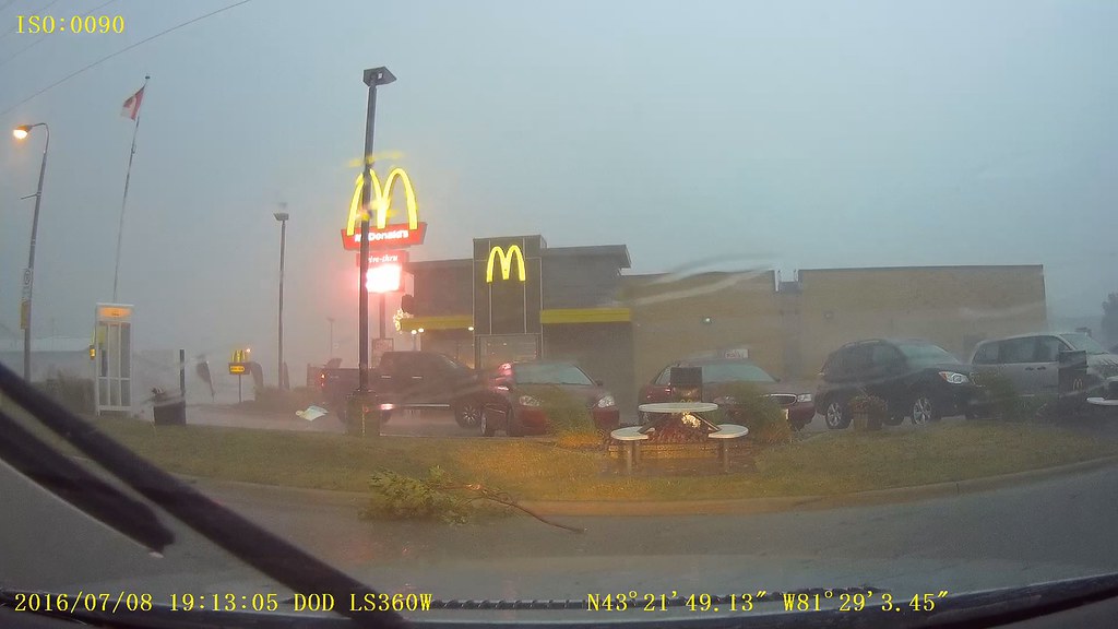

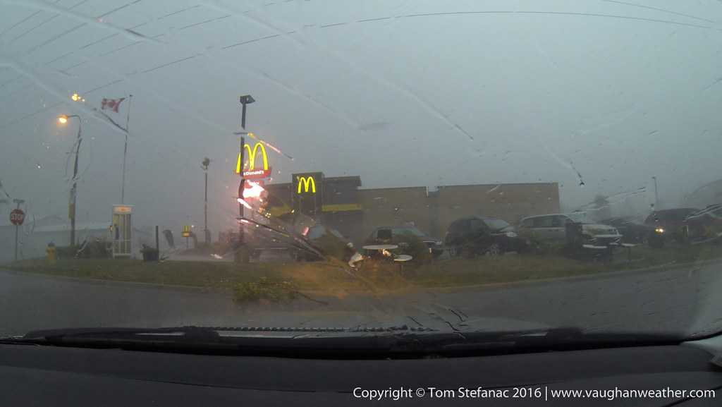
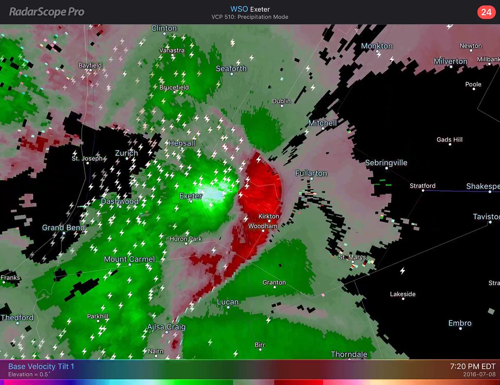
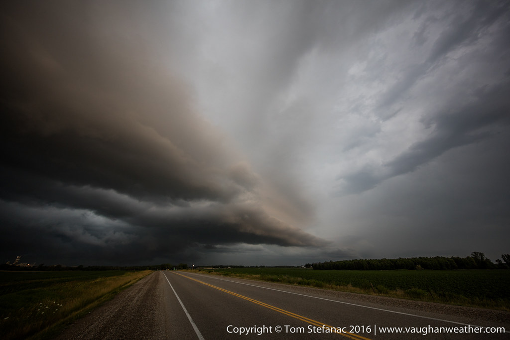
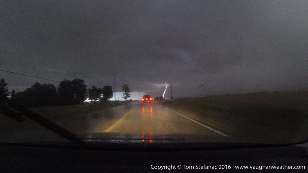
Dashcam Video from Exeter with strong winds blasting in.
March 28th 2016


March 16th 2016


September 9th 2015
 Not a storm chase per say. While on vacation in Florida this tropical thunderstorm about 70km away lit up the horizon with awesome lightning!


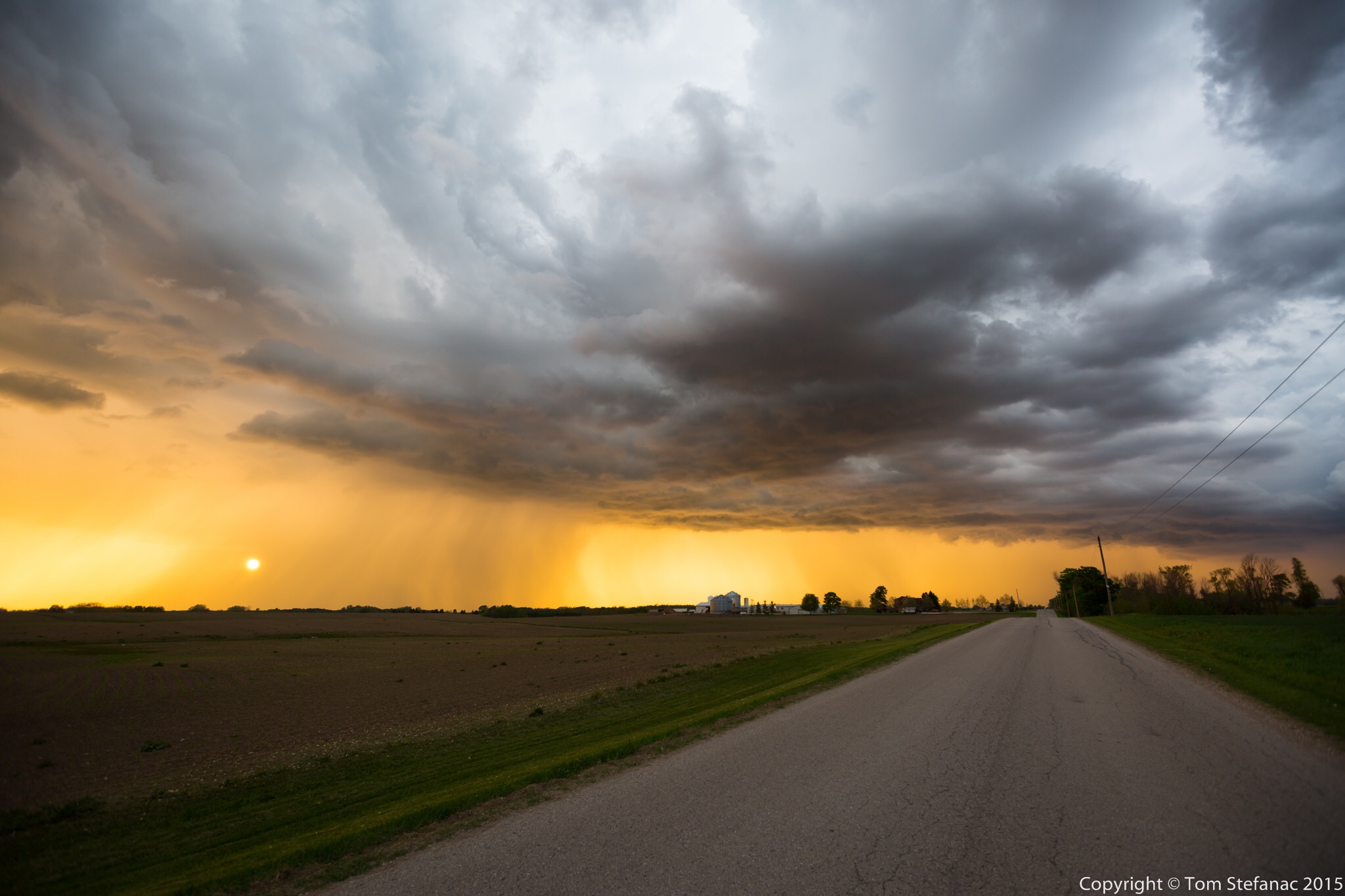
June 8th 2015
This was one of those somewhat unusual setups where storms were poised to fire along a trough from a secondary low behind a weak cold front. The initial cold front brought weak storms and drenching rains overnight and into the morning.


April 30th 2015
This was the real start of my chase-cation. There was a very marginal potential for severe storms and tornadoes were a virtual impossibility based on probabilities. It was a usual weird as could be high plains setup where by some miracle of the storm relative wind fields and near non existent moisture, the high plains would somehow produce storms which would grow in strength by evening and eventually everything would be pushed out by a cold front sinking south from Wyoming. Weird things happen above 1500 meters in elevation!


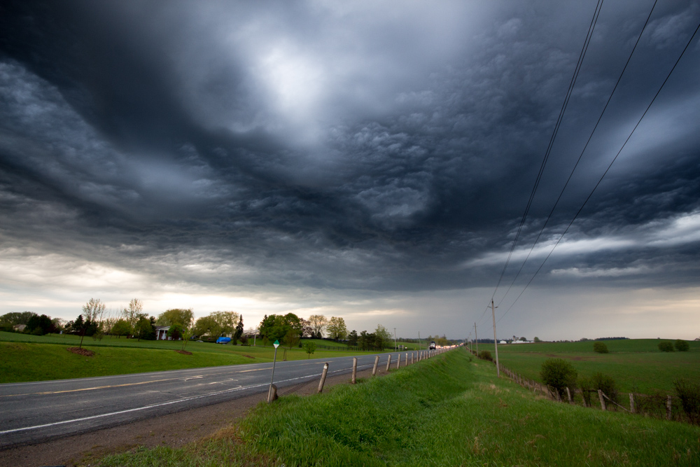
May 18th 2015
Today was the first “real” Southern Ontario chase that presented any possibility of actual thunderstorms. Having gotten back from tornado alley I was not storm deprived but I was not expecting much either. After chasing down in the alley, Southern Ontario can be pretty boring. I usually don’t feel the storm vibe here until late June or early July when SDS (storm deficite syndrome) begisn to set in again.
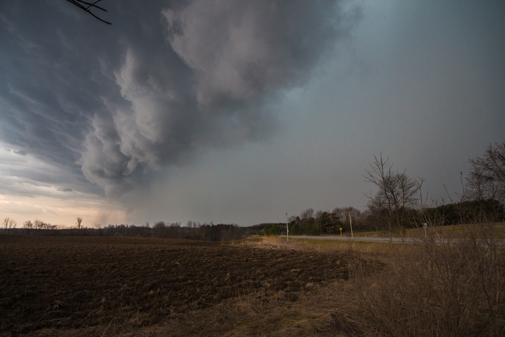
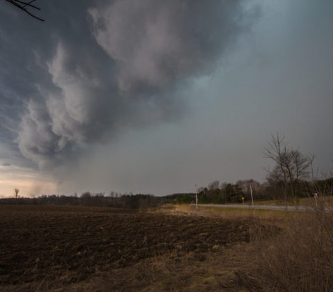
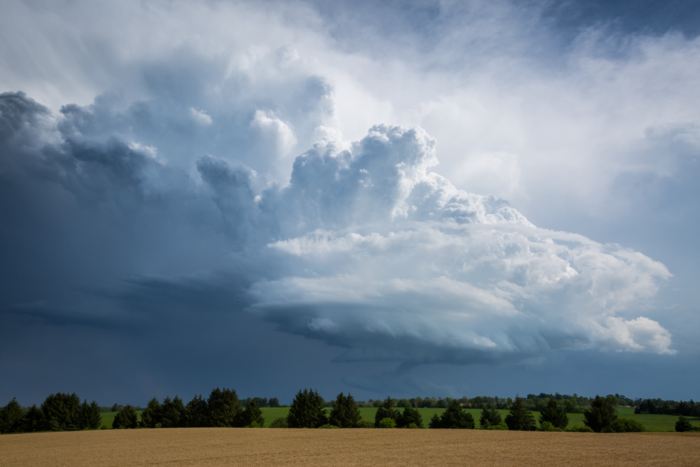
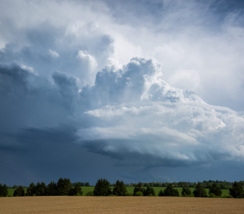
The play was going to be along a cold front swooping in from Michigan. There were indications that there could have been some storms earlier in the day around 18Z/2PM along a pre-frontal trough however mid level subsidence crushed everything. I spent a few hours at the Cambridge Onroute service centre. Things inititally looked somewhat promising but then the cu field quickly began to show signs it was just turning into pancake cloud. Pancake cumulus is a term often used by pilots to describe cumulus that hit an inversion and stop growing vertically but instead flatten out and turn into stratus, from the air they look like pancakes apparently.
Again, the only area of pre-frontal convergence was right between the lake breeze boundaries just west of Hamilton and you can see how the clouds are flattening out and not growing any taller. They were all hitting this nasty 600mb inversion and it was just halting their development.


