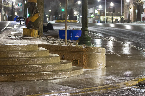
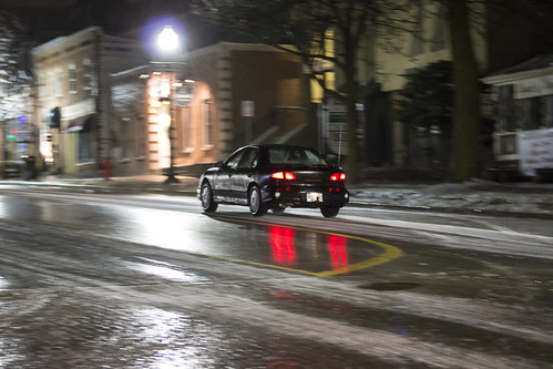
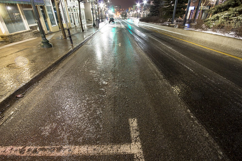
April 11th 2013
On April 6, 2014
- 2013 Storm Chases
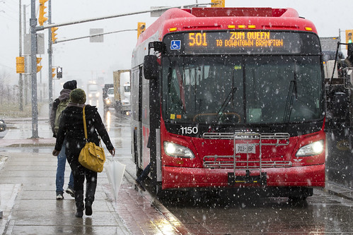
Commuters in Brampton near hwy 50 & Queen St get on a Zoom bus as heavy wet snow falls.
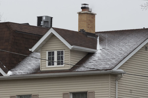
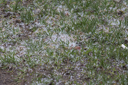
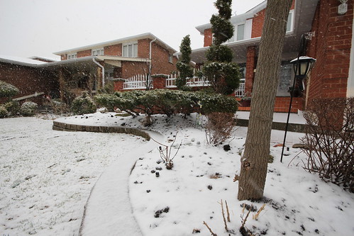
The snow was not expected, a combination of colder air flooding in and additional mixing aloft meant that the precipitation, which was supposed to remain as ice pellets eventually changing to rain fell almost entirely as snow with the first wave of precipitation.
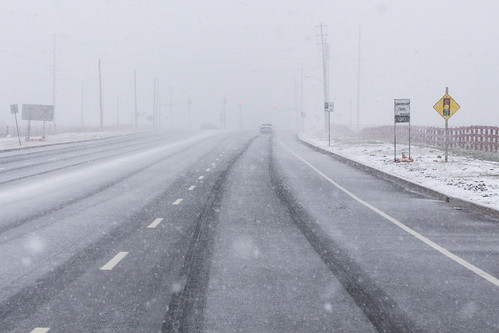
A "surprise" winter storm blankets Langstaff Rd just west of hwy 27 with a coating of wet snow.
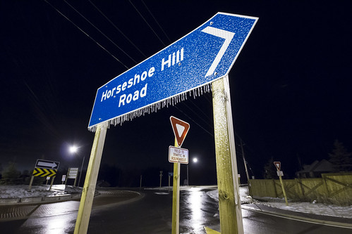
This unusual late season storm left many municipalities unprepared to treat the icy road surfaces and commence plowing operations.
The snow also created an additional forecast element not forseen, with a fresh blanket on the ground it meant that temperatures were able to remain cooler longer and this would aid in the freezing rain process which would begin with the second wave of precipitation much later in the day towards evening.
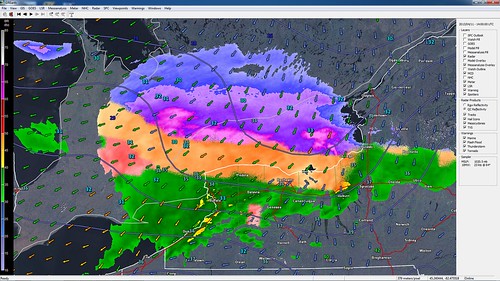
This was the radar image at the time showing just where the snow, ice pellets, freezing rain and normal rain sat. You can see the blues and purples (snow) effecting the GTA and areas eastward while much of the Hamilton, Halton and western portions of Mississauga were seeing a good mix of ice pellets (orange). Further south, along the QEW on the south shore of Lake Ontario most of the precipitation was falling as rain (green) and to the west a pocket of freezing rain (pink) had developed over Kitchener, Waterloo, Guelph and other surrounding communities due to cold air damming at the surface.
