Weak towering cumulus clouds congealed to form a weak rain shower.
This "storm" never amounted to anything.
New storms formed as a wave of activity pushed into the Windsor area. Storms formed near Oil Springs and expanded northward.
This one cell formed ahead of the mess over London and had some brief interesting characteristics.
This was taken near Arva looking south.
After the London storm was eaten by the more dominant storms to the west I headed north and watched as a meso-triple point (storm scale feature) came together just west of Ilderton.
An isolated cell formed north of the main body of the storm system just north of Ilderton and popped out a lowering
There was some major convergence & forcing between the two storms, cloud motions intesified and stuff was happening at 10's of meters per second.
This was a huge outflow scud bomb shelf thingy facing towards the inflow from the south
This was all inflow and there was violent mixing above my head with a sharp temperature increase outside of the car as inflow winds overcome any outflow.
What may have been a brief wall cloud or inflow/shelf feature formed and I shot video since photos would not do it justice. After the main action started to press east of my location I snapped this photo of a tail cloud. There was some major inflow action along it.
After the storm(s) lost their structure I punched back through what was a rainy core and emerged on the east side of the complex near St.Mary's
This was a crappy ragged shelf cloud, it looked cool (I guess all clouds look cool to me) but it posed zero threat,
Mark Robinson and I spent the better part of the afternoon waiting for initiation which never came. We agreed it was a bust and went our ways. Just as I started east along hwy 9 towards the 400 a developing tower to my north with faint echoes on radar caught my attention.
This is how I planned to document what was quickly turning into a bust, beautiful crepuscular rays in Orangeville
Surprised I was! What started as a faint echo over Georgian Bay quickly grew and morphed into a beautiful mothership of a supercell which I intercepted near Baxter, ON.
Words can't describe what was going through my mind! The structure was unreal, and winds were south-easterly veering to southerly before a dry but still warm RFD kicked passed.
The storm did briefly produce a well defined wall cloud, but more impressive was the notched out RFD cut at the back of the storm
Easily the best structure of the year so far in Ontario. I can't believe there was no significant severe weather. It was a great storm!
Here is the 9PM meso-analysis sounding for the nearest airport effected by the supercell, by this time the supercell was passing through Baxter and south of Borden
Here is the 8PM meso-analysis sounding for the nearest airport effected by the supercell
As the day went on the RAP model consistently increased the amount of surface energy present with shear and tornado indices increasing
This was the first RAP model I really dug deep into. Numerous key shear elements were coming together to make the day "interesting"
This is a hand analysis I made using the operational 00Z NAM forecast for the afternoon of May 3rd.
A quick 15 minute rough analysis I threw together just before 11AM.
The red box was the area I figured was best for storms and proved to be bang on. So I'm pretty happy it all worked out!
The CU field just prior to storm initiation in Alma, ON.
Storm begin rocketing up. This is looking north towards Arthur from Wellington Rd 12 north of Parker.
The first storm I intercepted. This storm produced a good scattering of 1/2 - 1 cm sized hail but went on to produce hail up to 2 cm in diameter just to my east.
This is one of the melting larger hail stones the first storm went on to produce.
This storm was the tail-end charlie at the time. It quickly matured to my west and virtually trained over my head. I had to edge out of the core as the hail stones began to get loud & had me worried about vehicle body damage.
You can see in the above image good inflow/outflow mixing at the rear of the storm. There was subtle rotation with good warm inflow to be had.
These were the hail stones that dinged my car and forced me to back away from the core. Pretty hard stuff!
Jen (the girlfriend) had some nice nail polish on. I submitted this photo to Environment Canada shortly after I took it for verification. The Environment Canada met (Arnold) commented that it was a nice nail polish LOL.
Here is the storm cell continuing to mature as it edges eastward just north of Arthur. There was excellent low level inflow and a brief wall-cloud area within the broader rotation formed but dissipated quickly. You can see a huge bulb of cold outflow driven scud directly above the road to the north of the storm (left).
Substantial local flooding was occurring as some places received a months worth of rain in a matter of minutes.
Now the storm was at the strongest it would get. Wonderful structure with a 70 dBz core on radar and weak rotation in the base radial products.
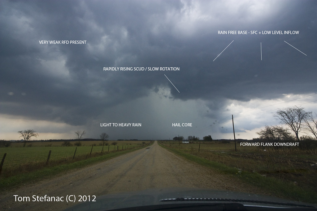
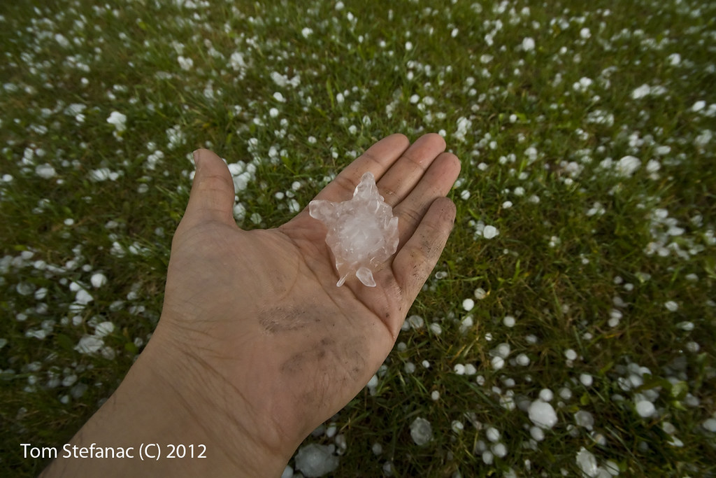
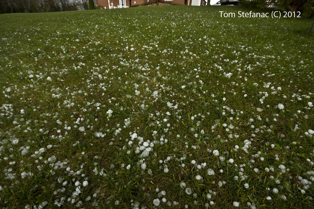
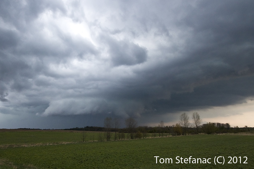
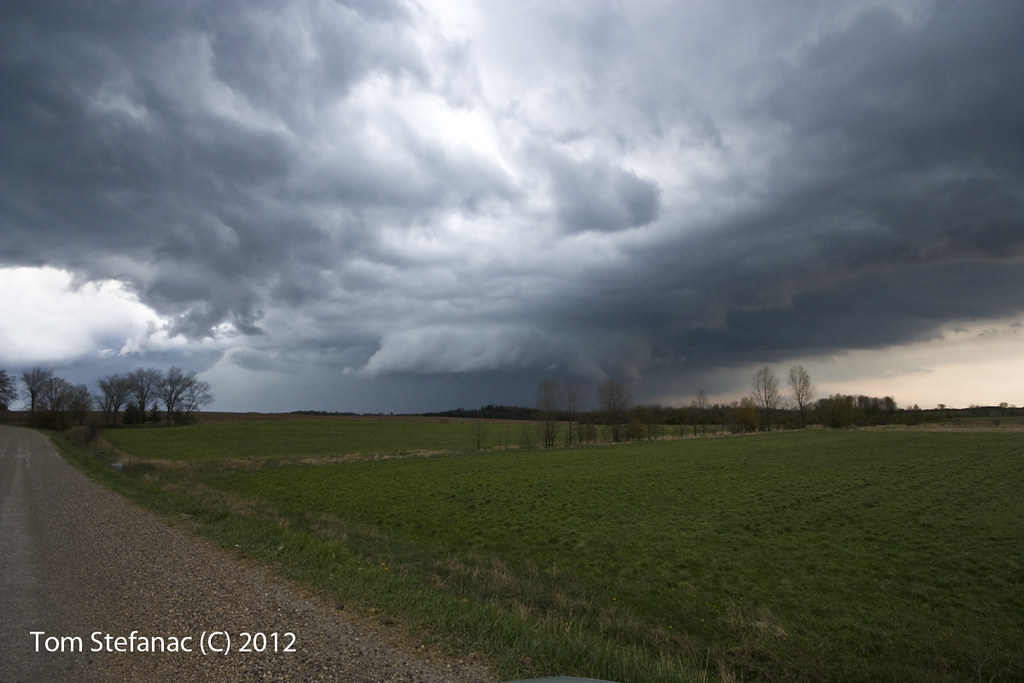
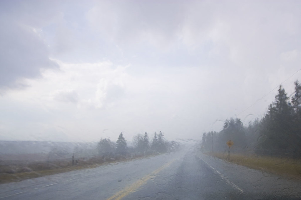
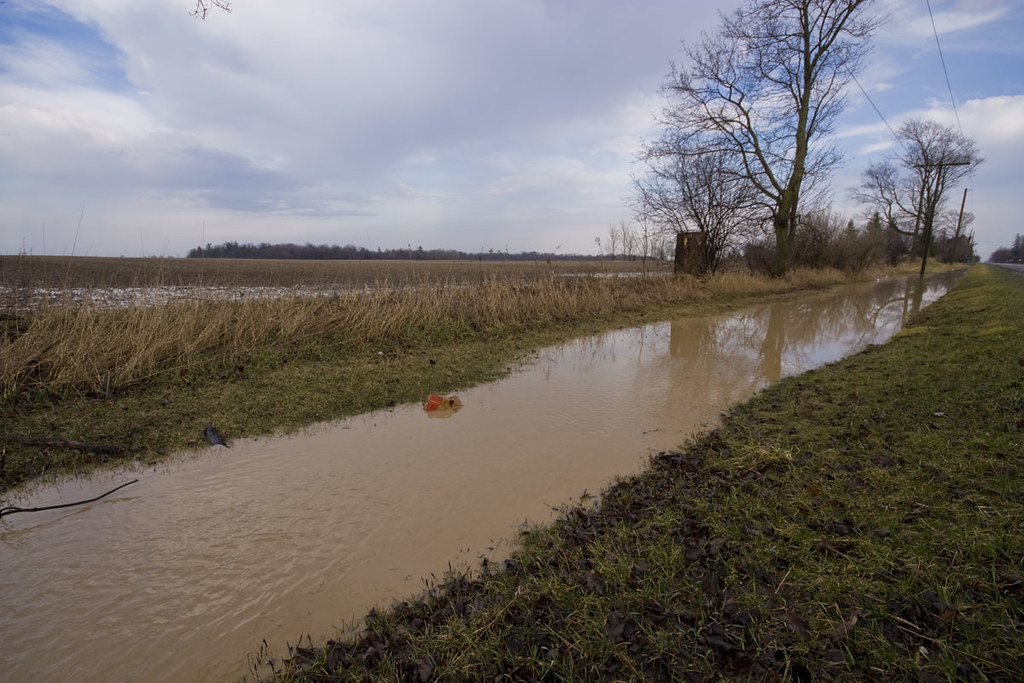
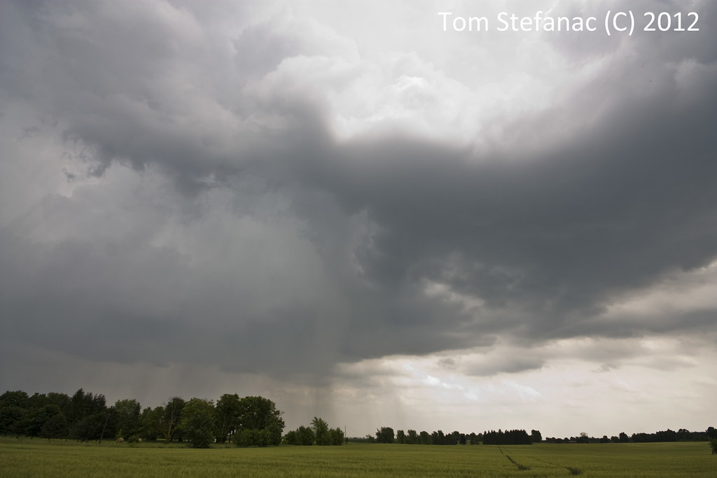
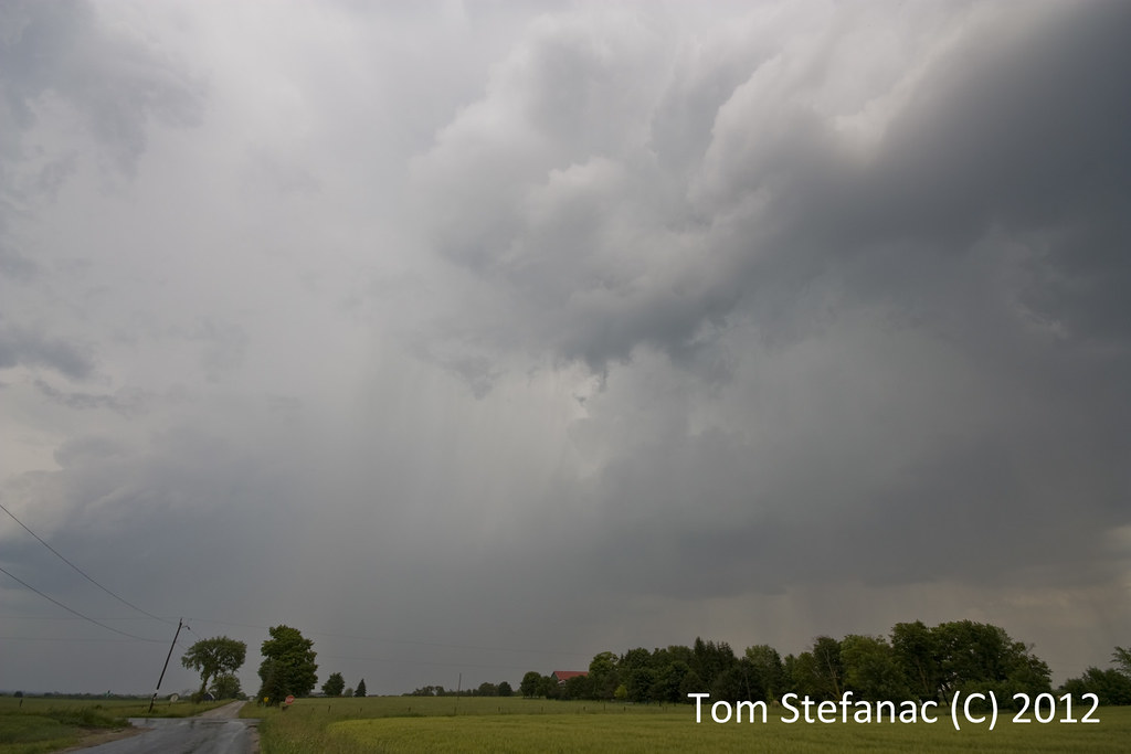
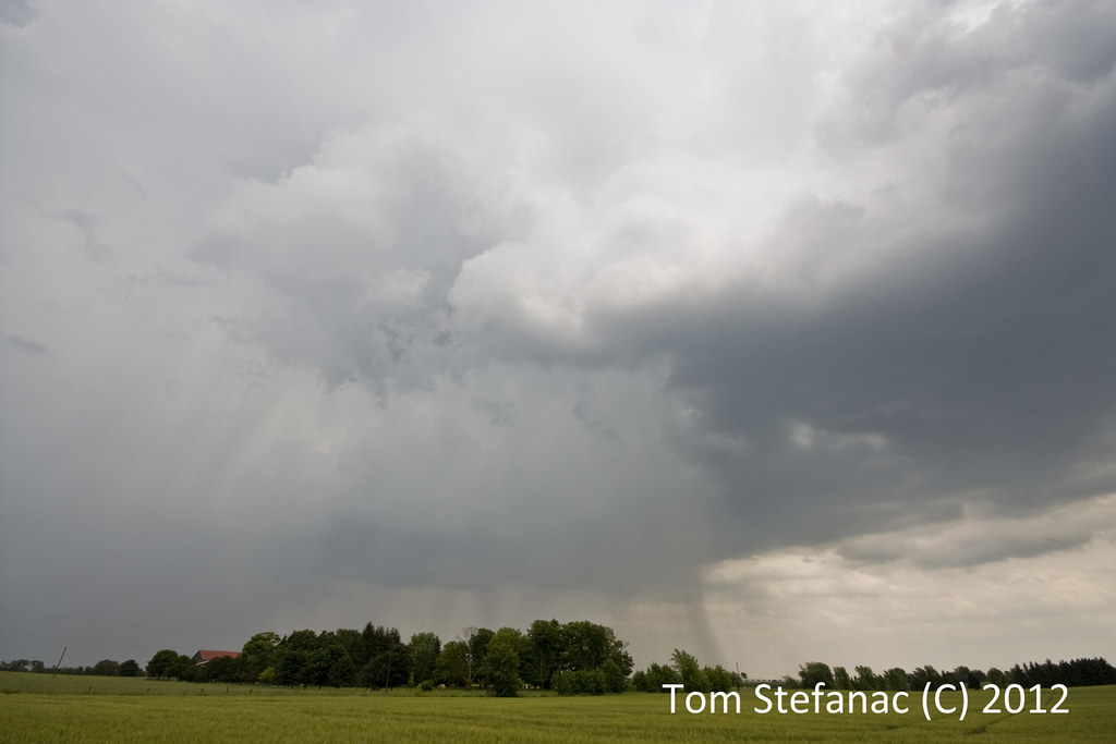
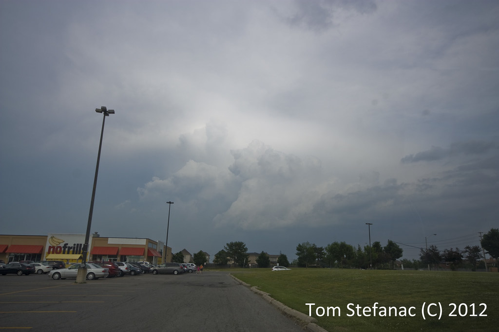
Plenty of local flooding from the near stationary storms!
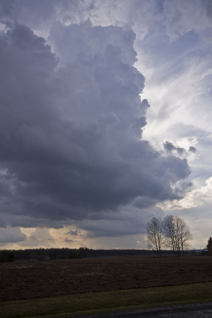
A nice orphan anvil drifting over a ranch
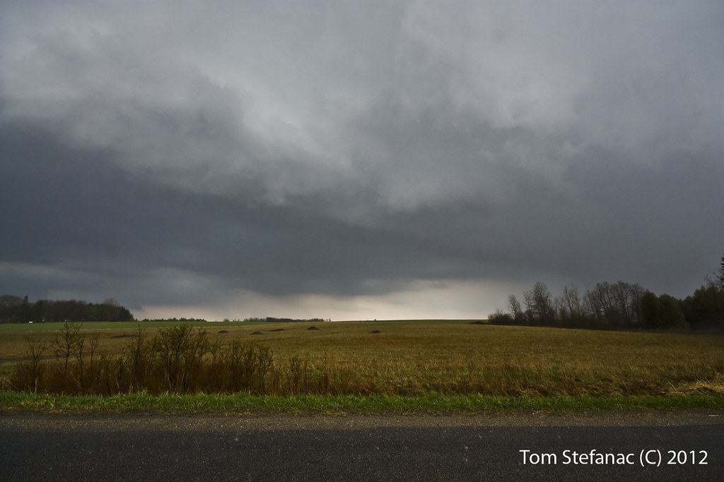
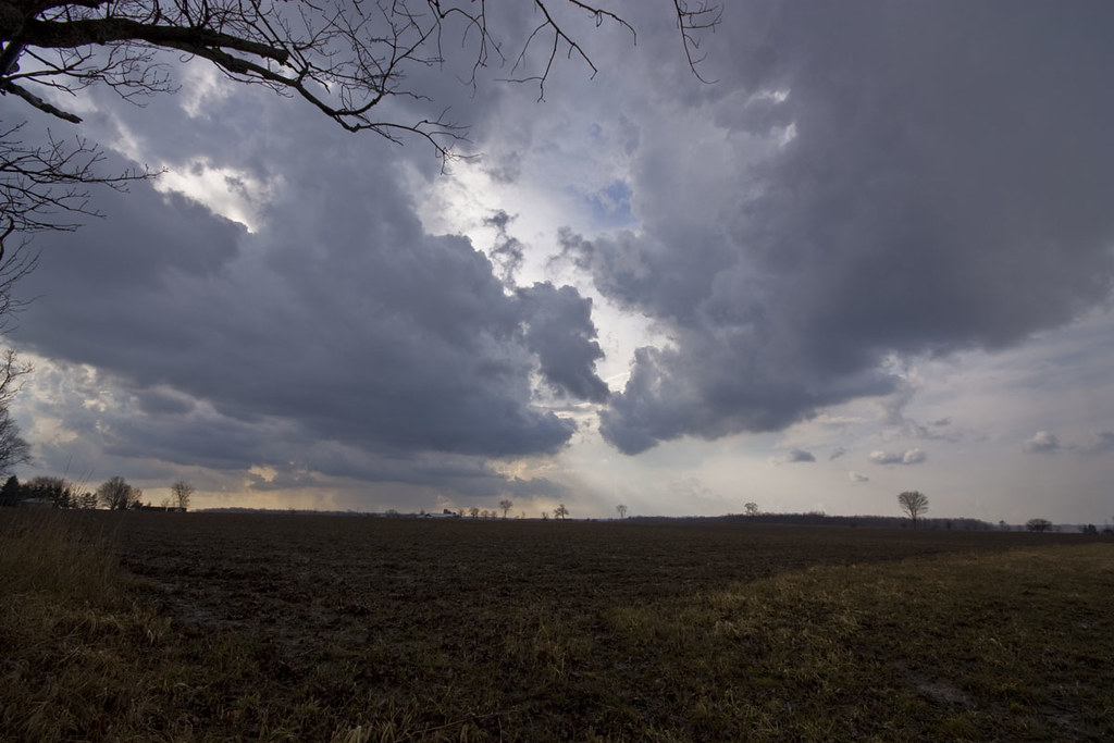
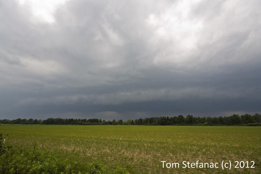
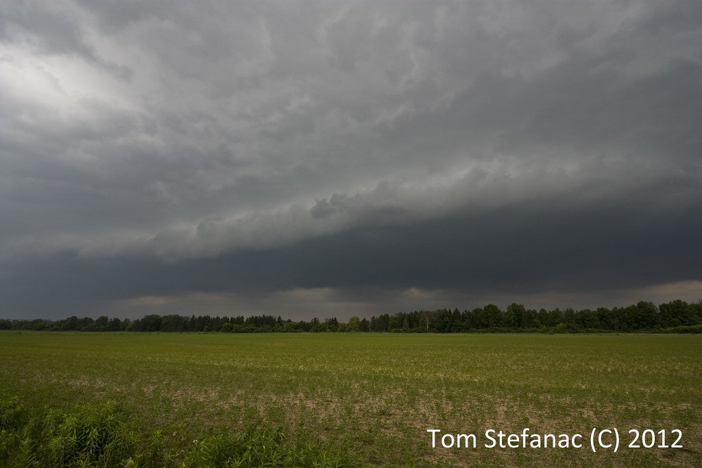
The fence, the ground, the sky, the shrubs... for a minute I thought I was in Dumas, TX!!! If your wondering I'm about 30 km NW of Toronto.
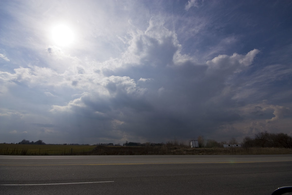
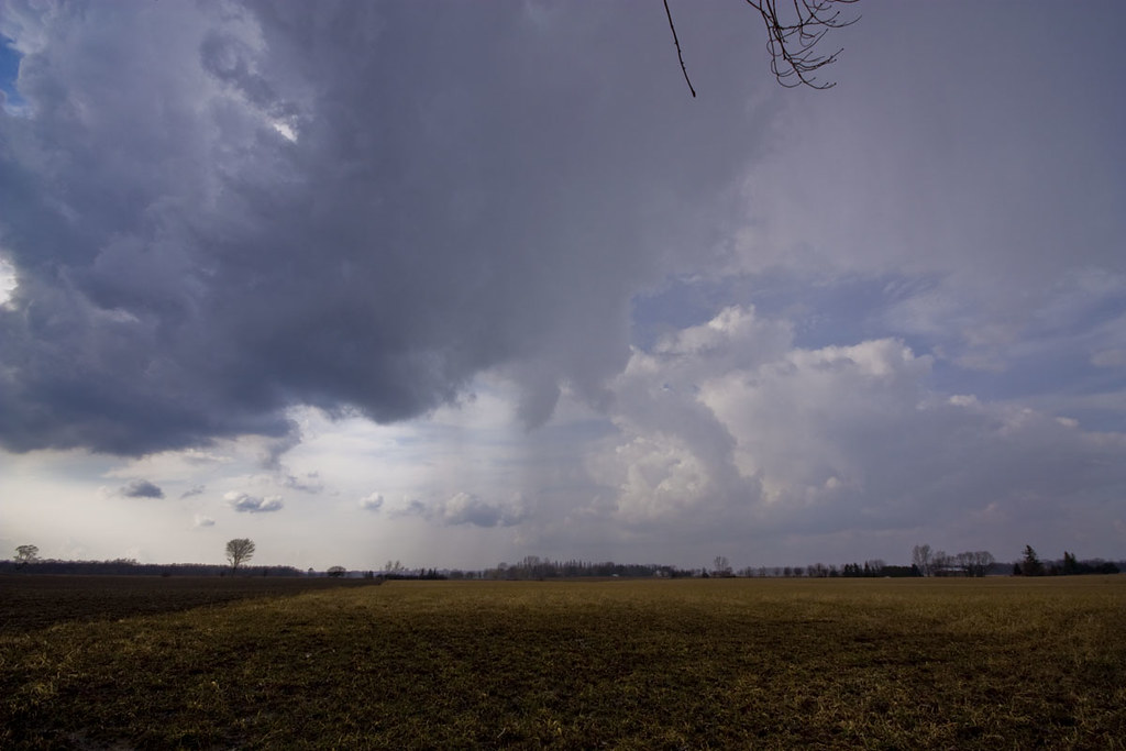
What a beautiful March sky!
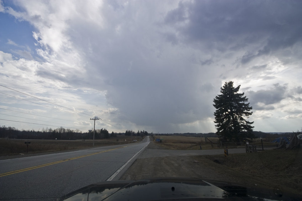
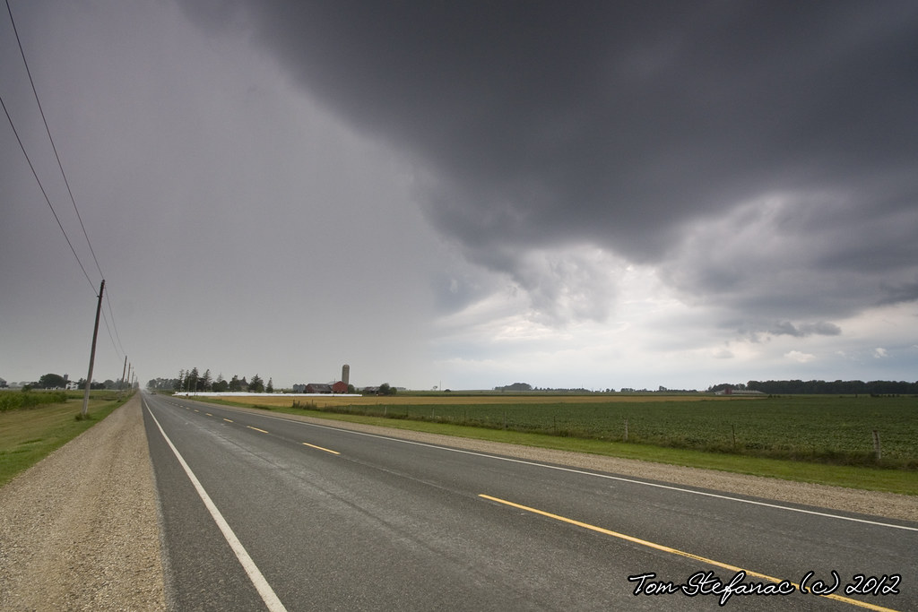
Even if there were no storms the drive into the country was great! What a beautiful day!
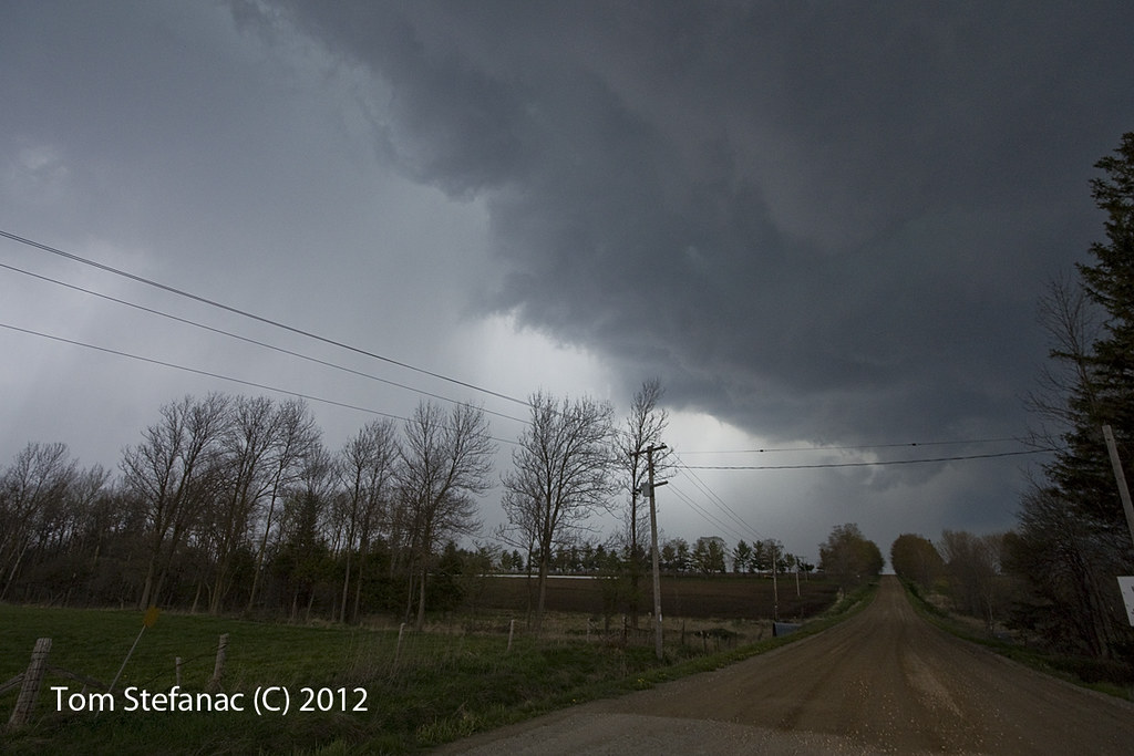
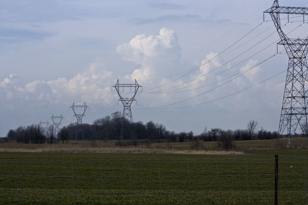
FYI - Yes, Southern Ontario is mostly flat and totally chaser friendly, but there are some hilly and tree covered areas. It's a lot like Indiana for the most part with some places bearing a stark resemblance to Eastern & Central Oklahoma.
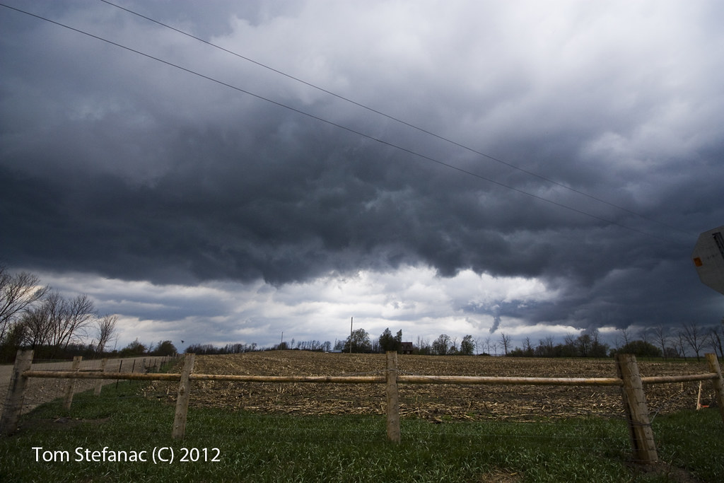
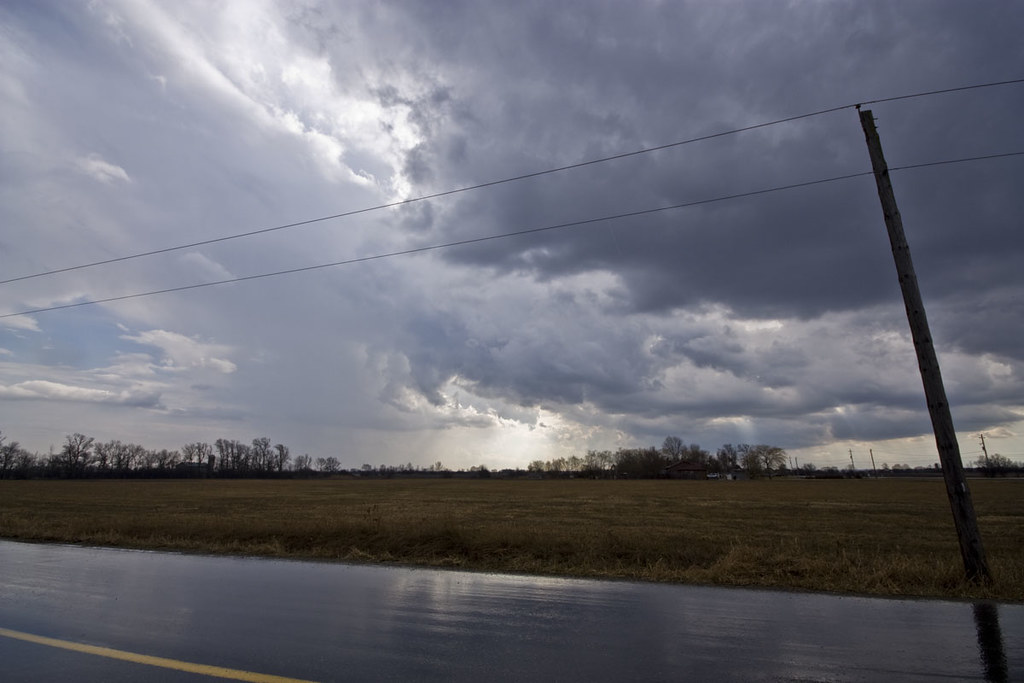
I just loved the cirrus & the still brown fields, what contrast!
Another shot of the tablet with the default roads visible
Tight shot of the screen showing the radar & my GPS location plus Spotter Network
Here I am using my Galaxy Tab 10.1 to chase the storms and basically test the whole system which I must say works very well!
Looking at the first "storms" of 2012 I've chased - It felt amazing to be outside in 22C weather enjoying tower cumulus, cumulonimbus clouds and the smell of the rain with some soft thunder.
Sure the storms were nothing to write home about but I really just went to enjoy a beautiful Sunday afternoon in May - I mean March!
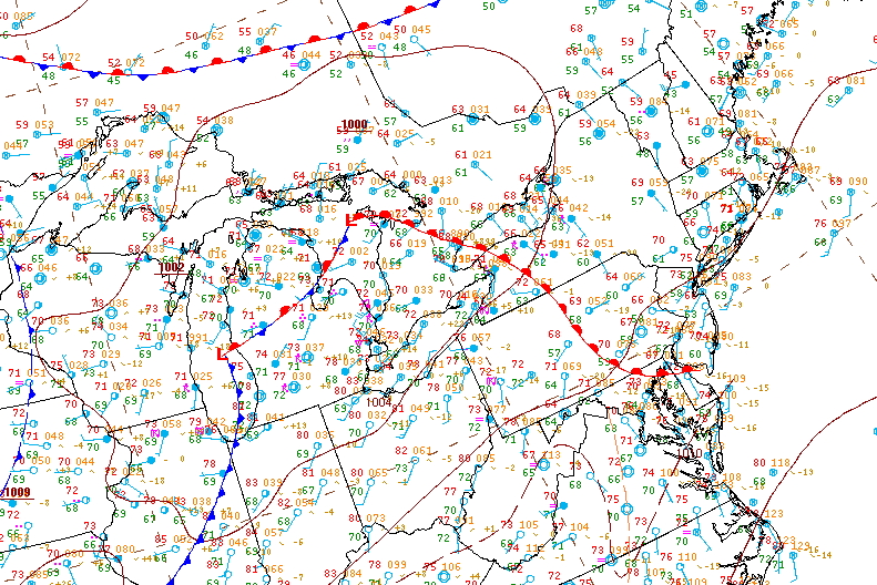
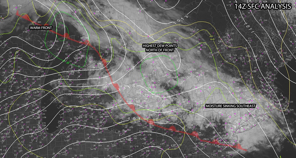
Some fo the weather models were a little crazy going all out! I was more conservative in my approach to this potential chase day... or at least I tried to be!
This is the 1:30PM surface analysis I whipped together, at the time everything seemed to be up in the air but I was still confident storms would fire.
This photo was taken on Airport Rd at the 25th Side Road looking due east at a developing storm over Beaverton. Echo tops were estimated to be 45,000ft when this photo was taken.
Here's a photo of the Beaverton cell as seen by the KBUF radar. You'll see it had a wee little hail marker in there at the time.
This beautiful storm near Dundalk produced a non-rotating wall cloud and had some wonderful structure.
As the storm cell tracked SE and moved farther away more of the storm as a whole became visible and it looked beautiful.
This was an impressive shot I could barely fit into the wide angle. Not only can you see the wall cloud under the rain free base but you can also see the full structure of the primary updraft and its flanking line plus the rain to the left side of the image.
After following the first storm for a while it became high based and began to fall apart. Thankfully everything was firing along a boundary sinking south and these fresh storms exploded near Melancthon.
The storm core was less than impressive, there was plenty of heavy rain and small hail but nothing too substantial as far as wind went. The storm also had a cold, elevated look to it. Probably a result from training over the previous storms outflow.
This storm which was just a little to the west of the previous storm was in untouched warm air and had beautiful billowing updraft and several interesting lowerings.
Most impressive was the lowering on the west side of the storm as well as the impressive rain foot closer to the northern forward flank.
Blasting south to keep pace with the storm as it headed towards Orangeville narroly missing Grandvalley and interesting outflow/inflow feature presented itself as a hybrid shelf cloud which was fed by westerly inflow.
Near the Caledon Village the OIrangeville cell or what was left of it morphed into an interesting multicell cluster with an amazing amount of motion and scud activity but nothing that really presented itself as threatening.
A small rain and hail shaft to my immediate south near the Brampton Airport
This was taken just a short jog down the road from the previous photo, again you can see how in some places the storm appear high based and in other they have a much lower base level all a result from transecting outflow.
This photo was an accident as I clicked the shutter while rounding a corner. What can I say? It turned out great!
Unfortunately, the problem with the while Caledon area and northern reaches of peel is that the whole area is tree laden. I was still able to get some sunset shots where the sky peaked through the tree canopy.
Here's a shot of the storm cluster as it moved over Brampton producing small hail of up to quarter size and some wonderful lightning. The storm continued south and eventually moved out over Lake Ontario.