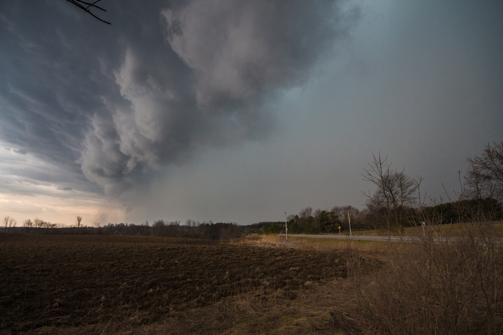
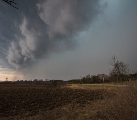
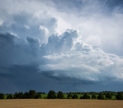
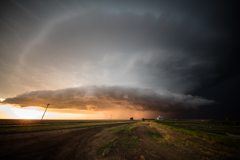
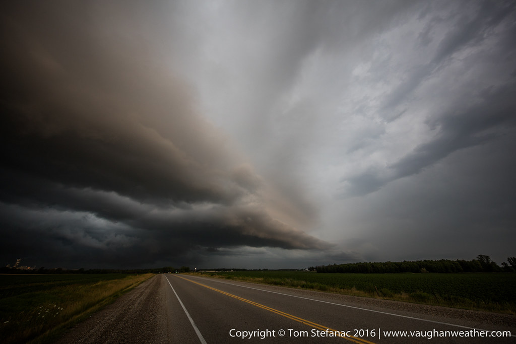
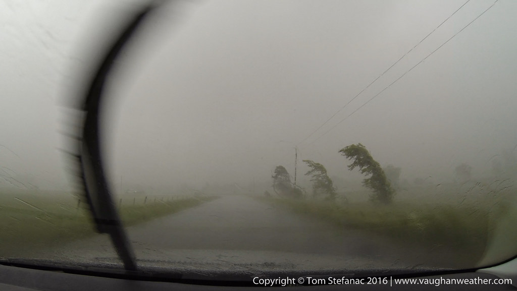
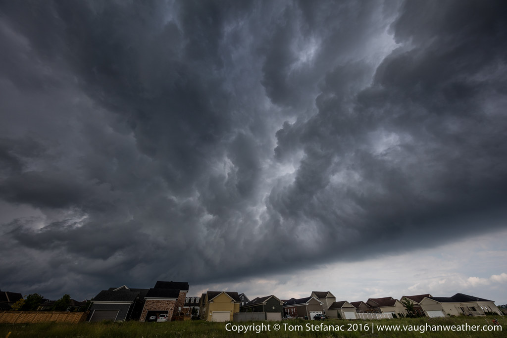
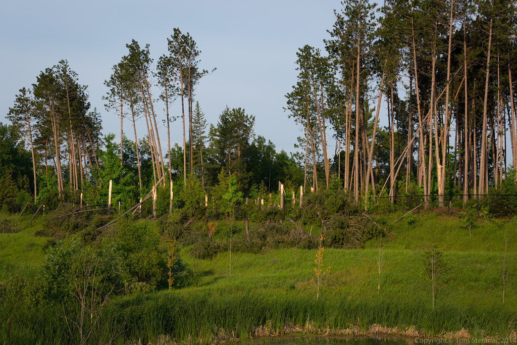
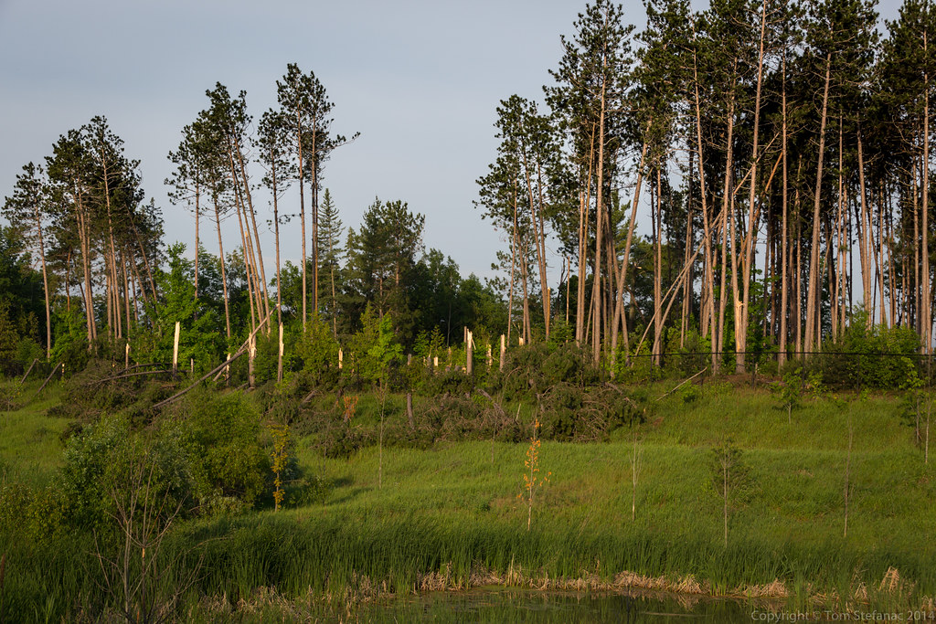
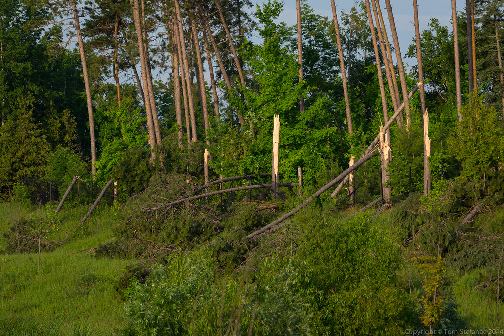
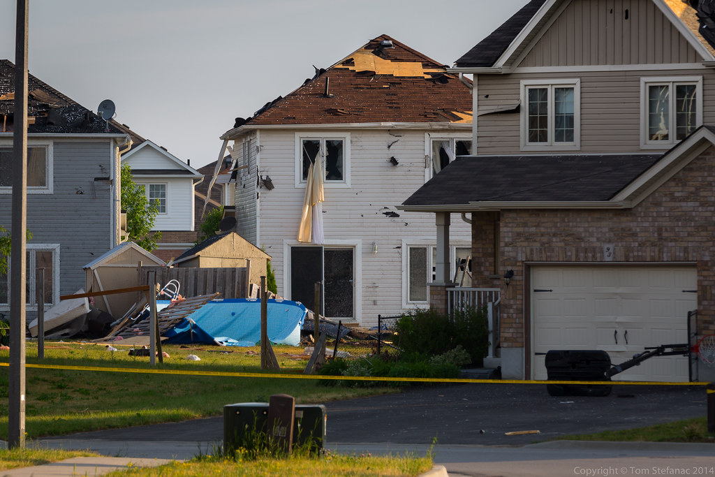
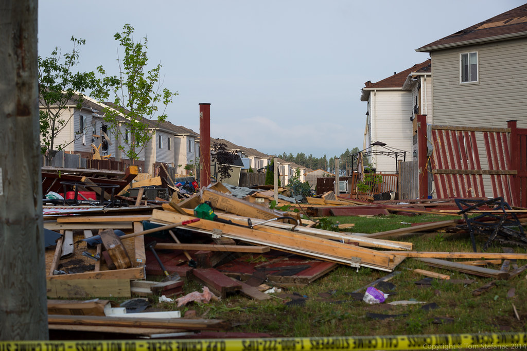
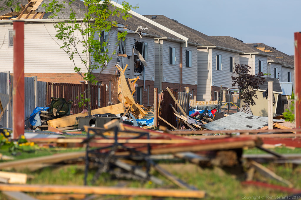
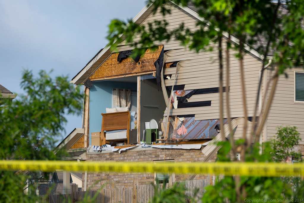
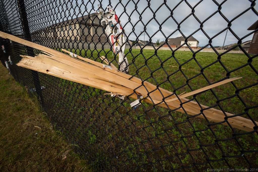
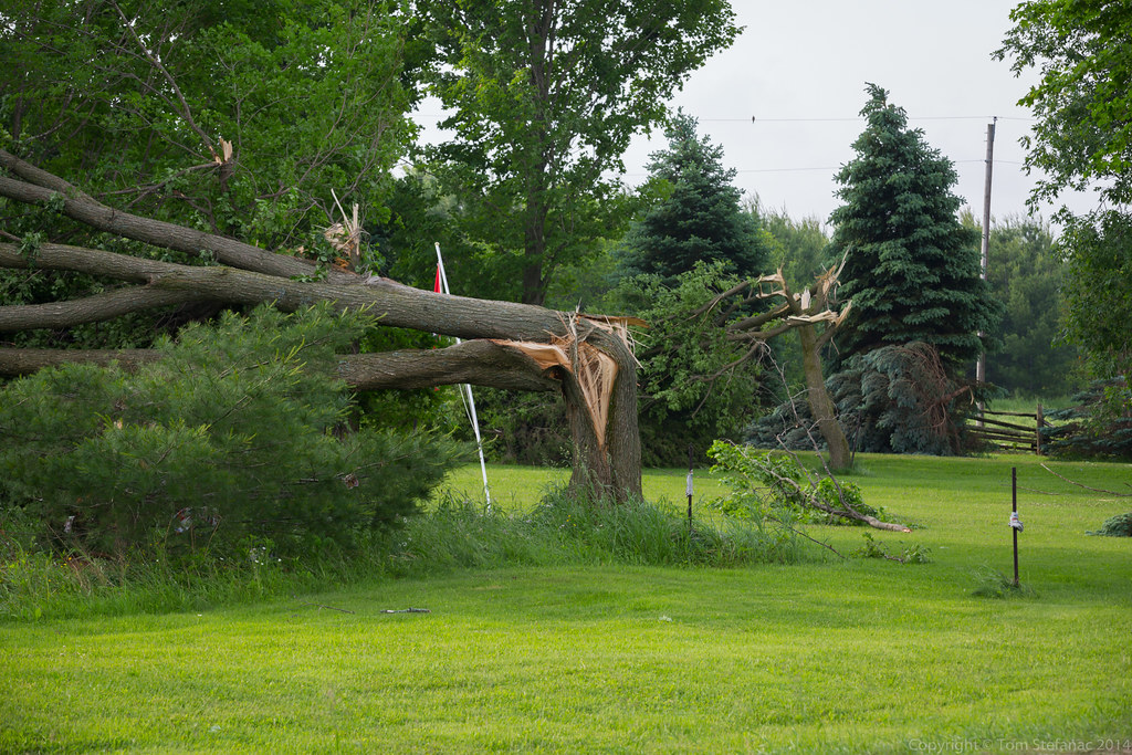
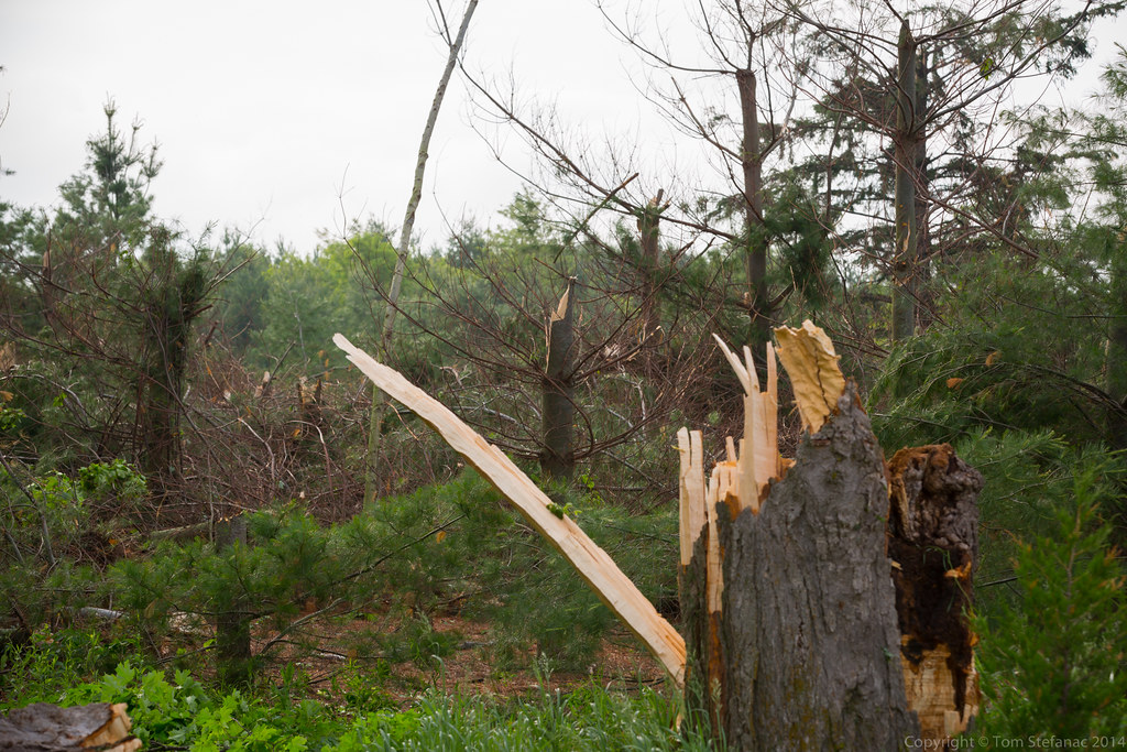
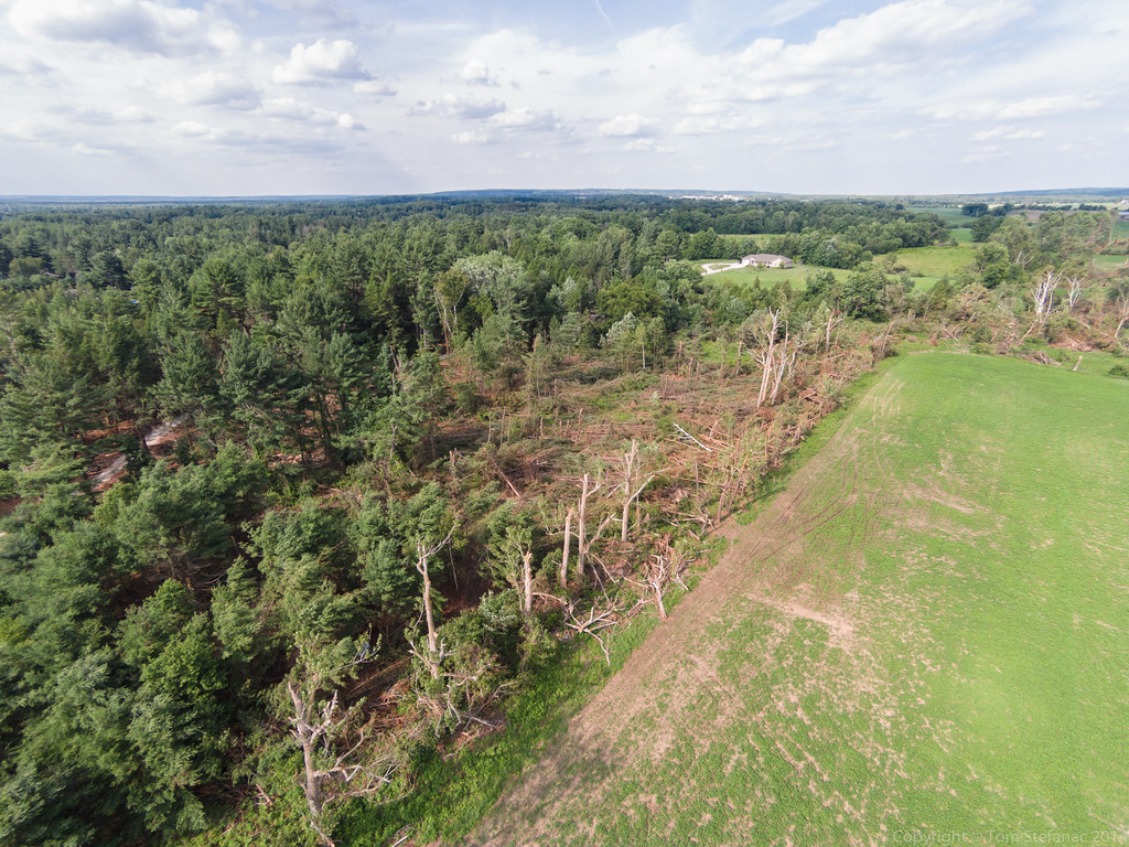
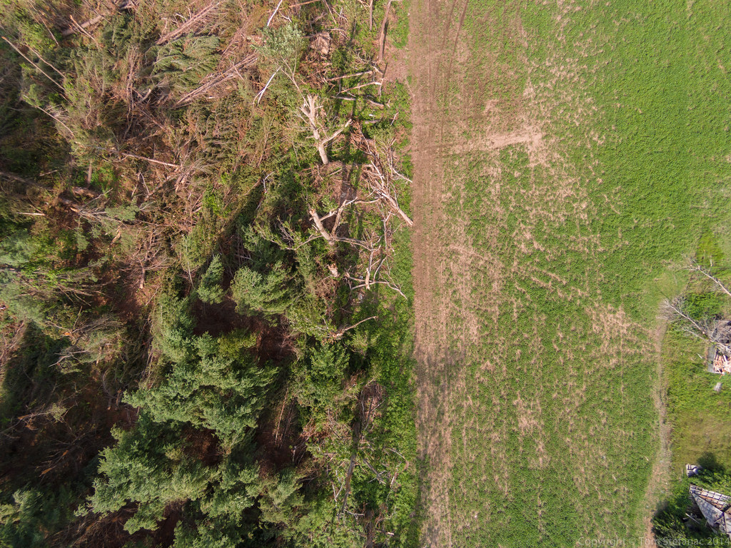
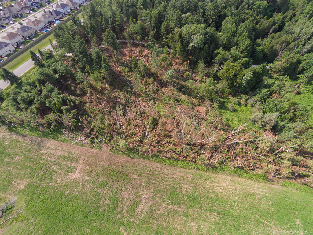
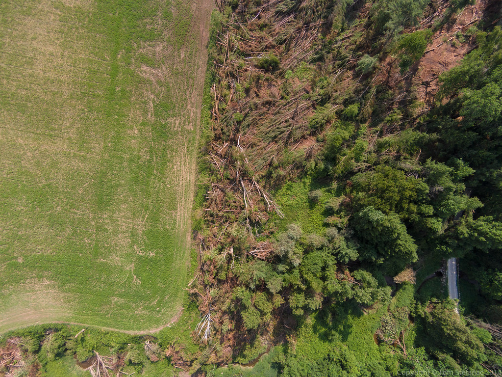
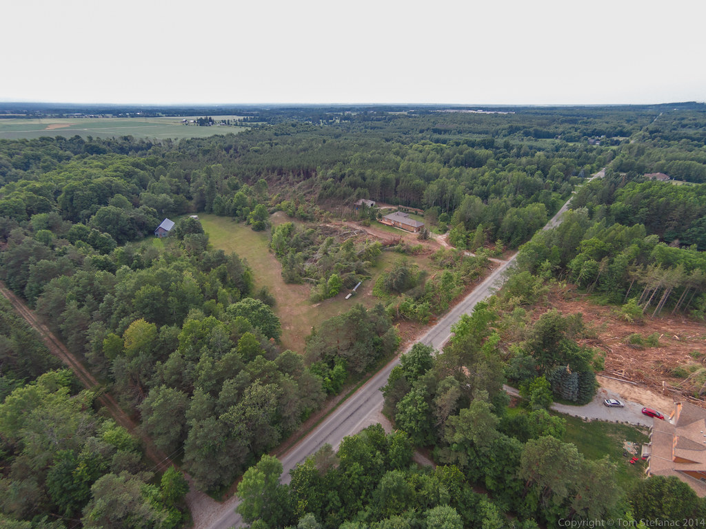
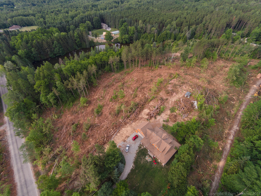
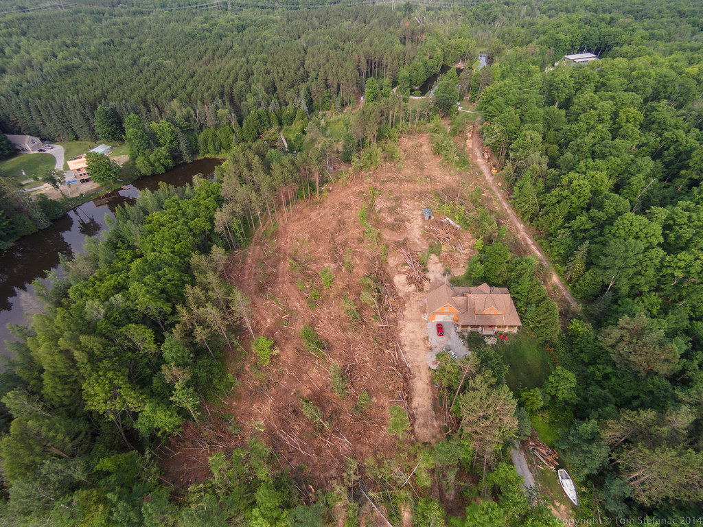
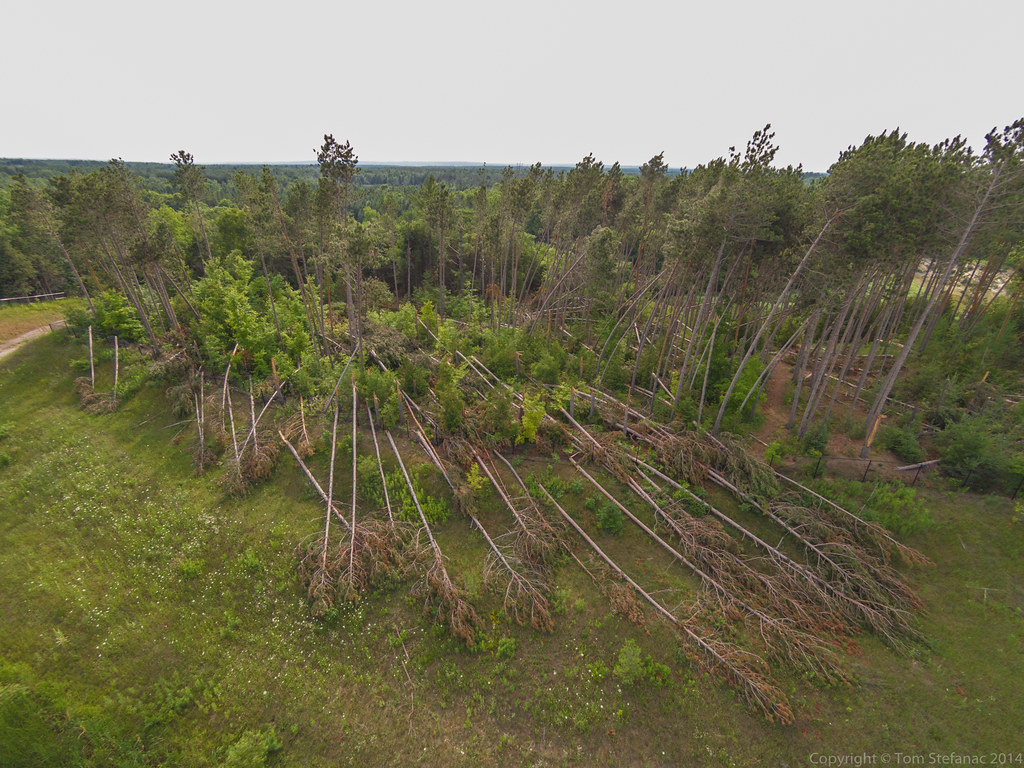
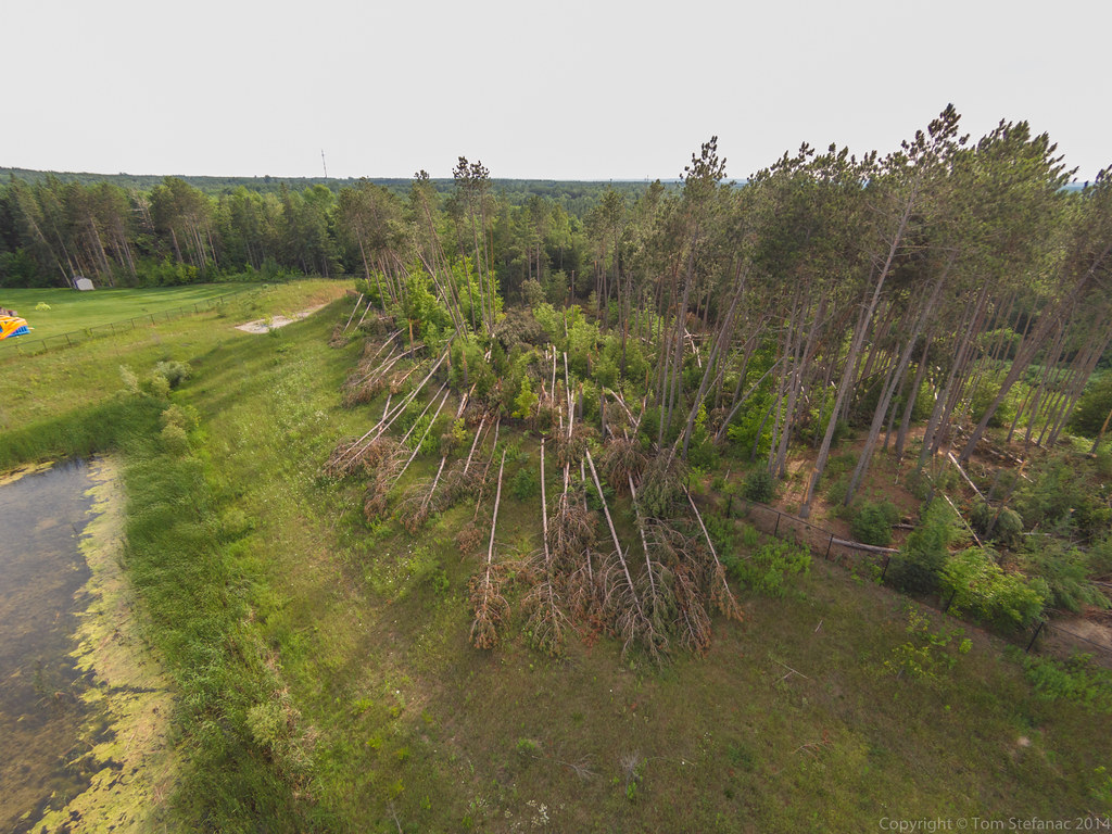
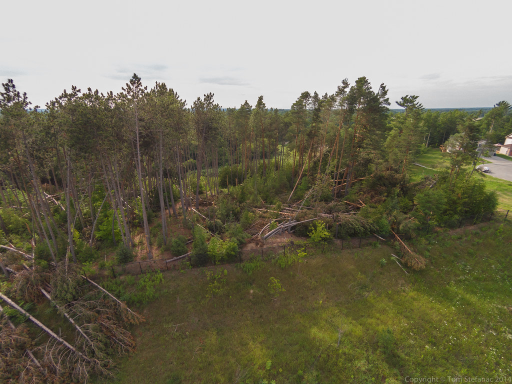
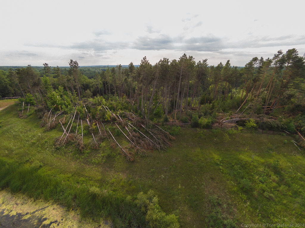
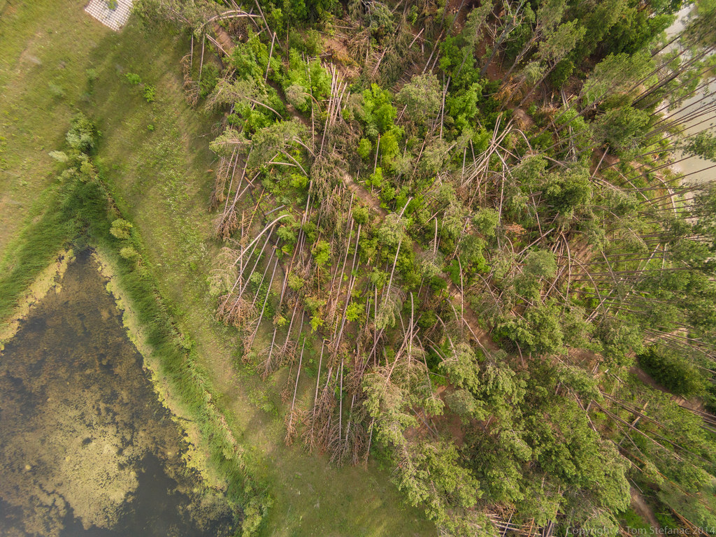
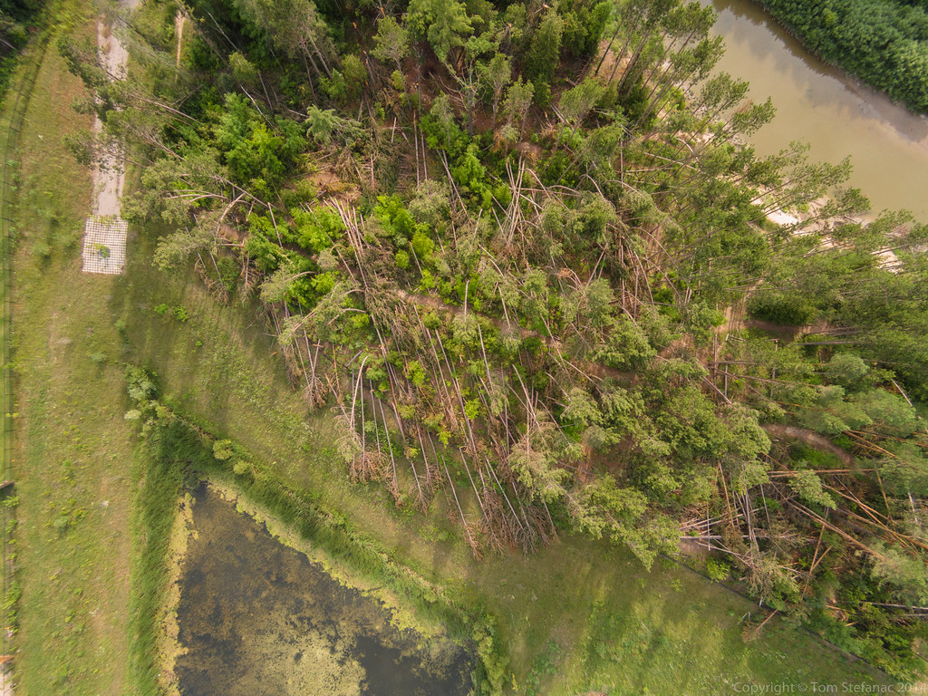
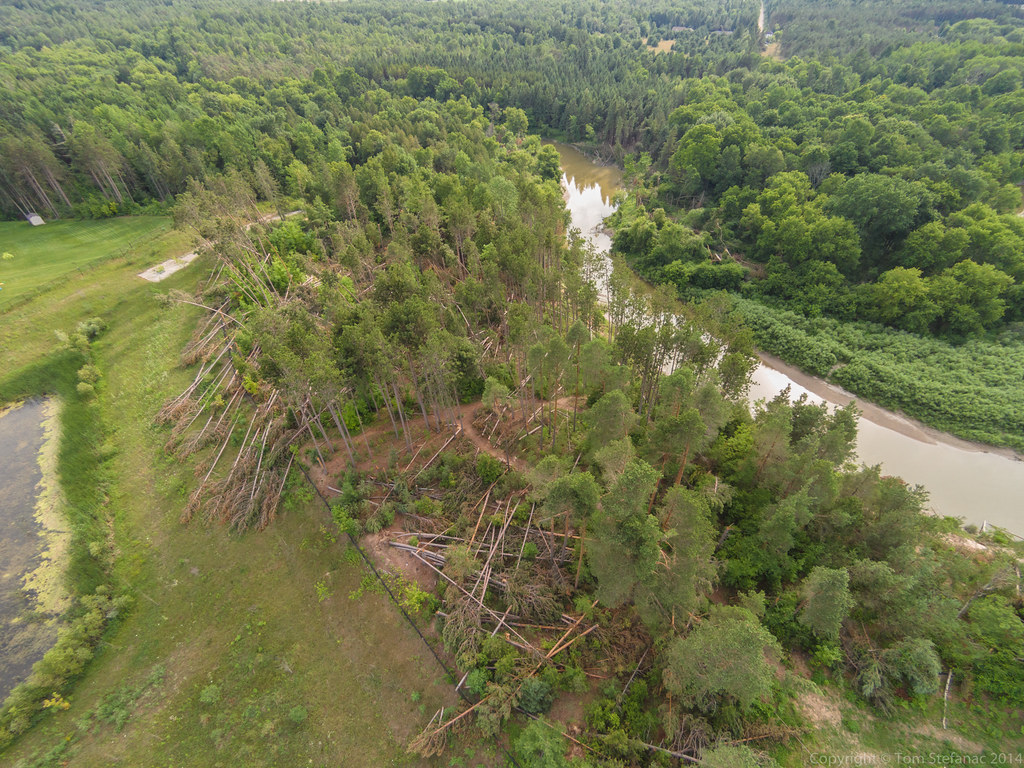
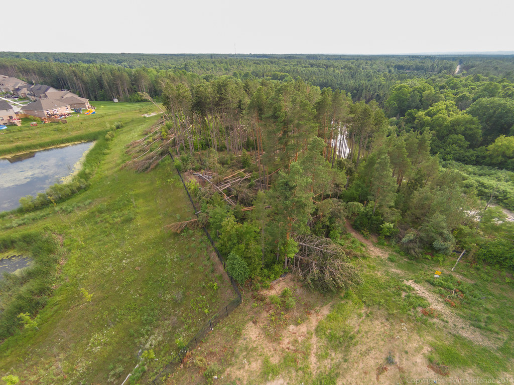
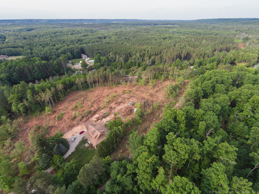
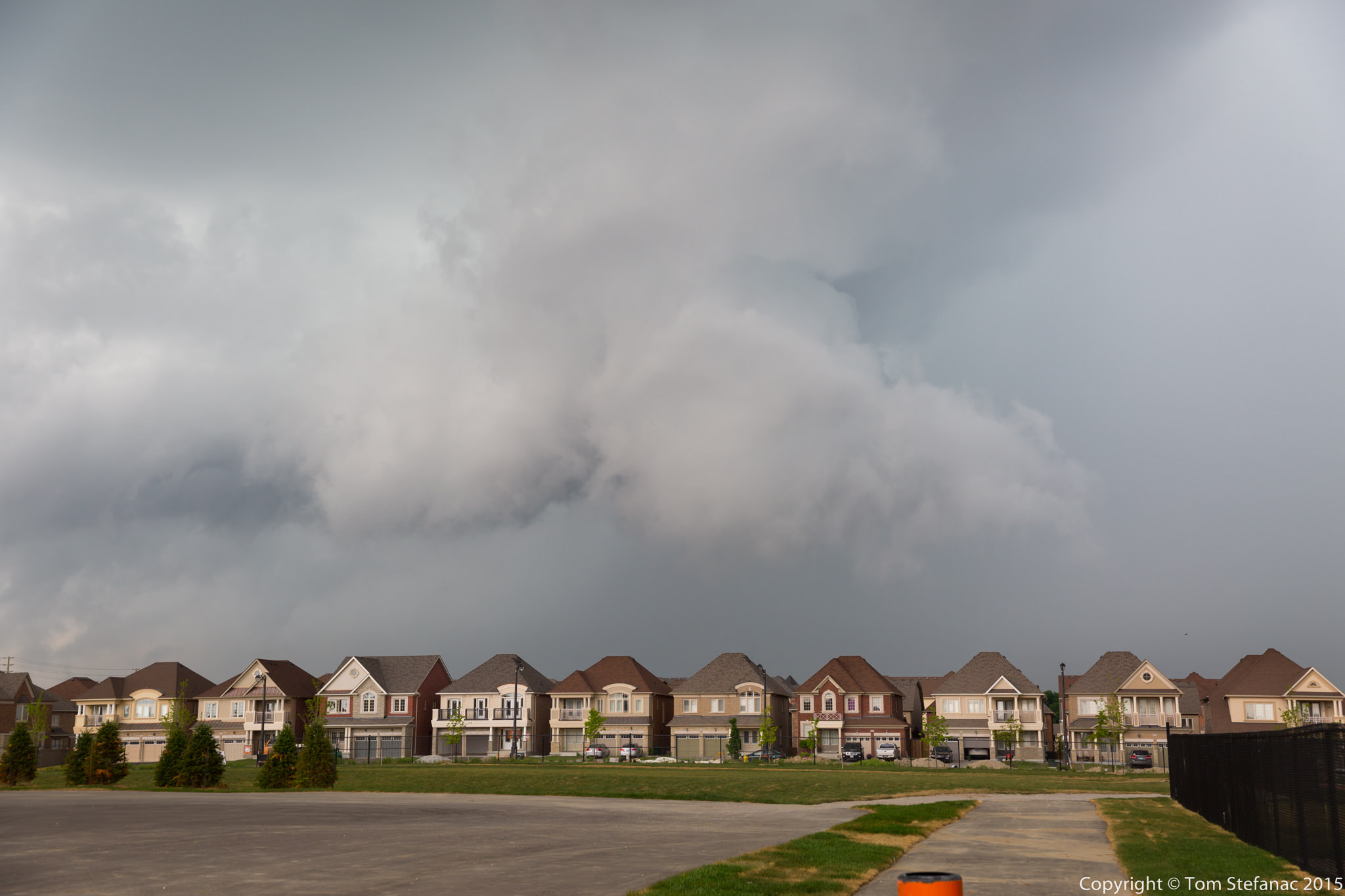
Hard to believe that less than a week after the ice storm I was out chasing a large ragged bowing squall line with temperatures around 25 Celsius. April is really a month of extremes!
Storm motion with this bowing segment was 59 degrees (Northeast) at 57 knots (105 km/h)
You'll see how the storm progressively bows as it progresses north along the line
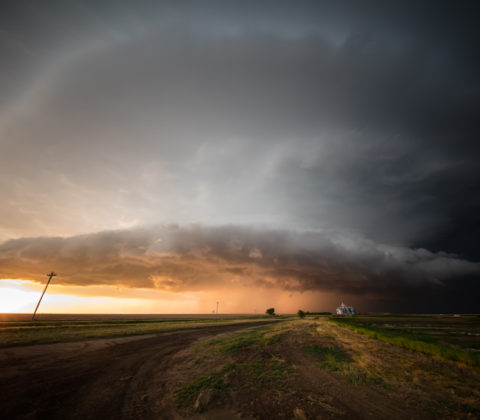
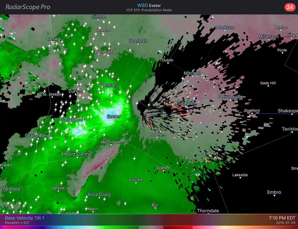
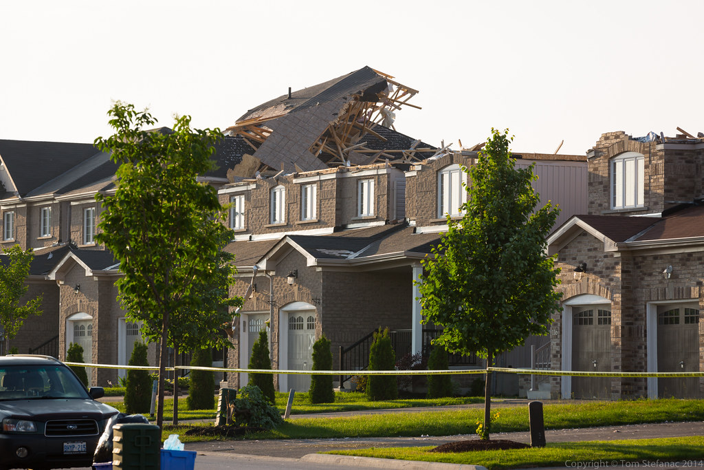
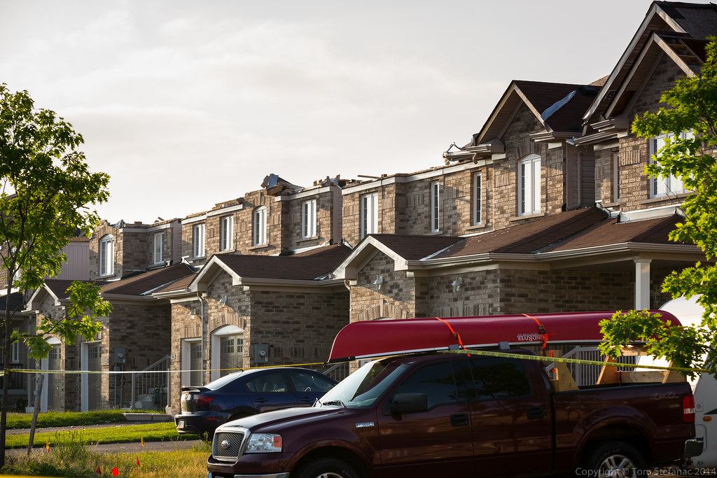
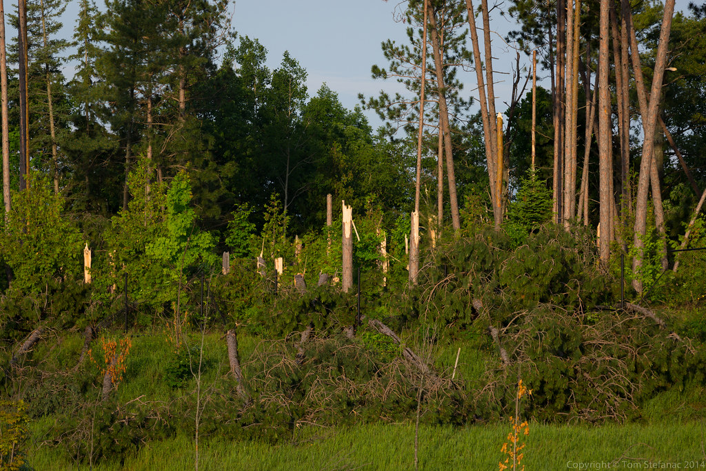
Here's a quick screen grab from my tablet showing the radar at the end of my storm chase day. You'll notice the a large bowing segment heading off towards Uxbridge, that there is the storm which bowed out right over my head in Bolton/Caledon.
The first really active chase day of the year for Southern Ontario that was not a bust with widespread convection and severe weather ranging to hail to wind and even some local flooding. The entire day basically focus around an incoming low pressure system from Michigan with a trailing cold front that was crashing into very hot and humid air as a 500mb shortwave scooted past to the north.
After a quiet May and June, the storms were welcomed and helped to ease the drought conditions imparted across much of Southern Ontario thanks to a very dry and storm free spring and early summer.
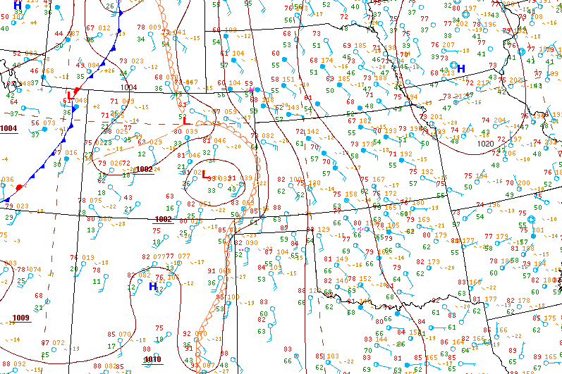
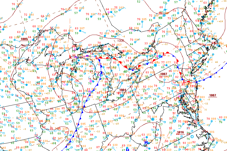
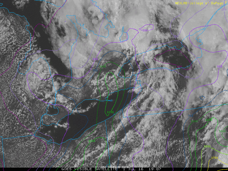
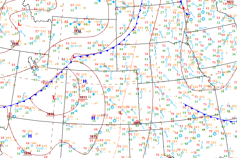
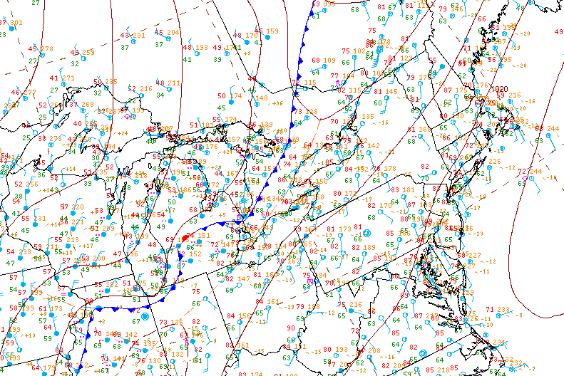
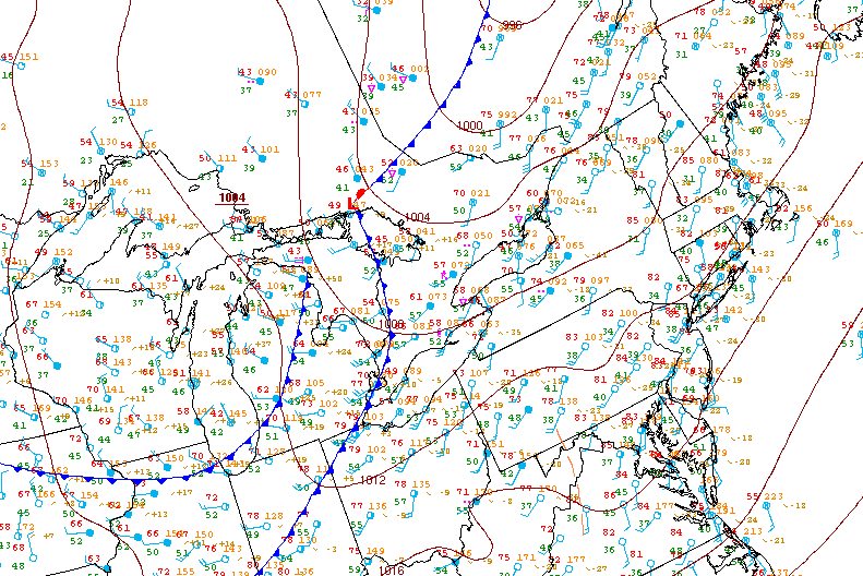
Surface analysis 21Z Fri Jul 8 2016
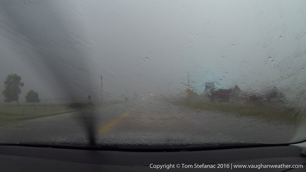
I started the chase day in Woodstock Ontario around 2PM as I focused on two possible targets eventually narrowing it down to the area around Goderich. As with every storm chase, looking at the surface observations and being in position early rather than late is always important and critical! Playing catchup or being unaware of the atmospheres potential is never a good thing and can really make or break a chase day.
This was one of those days, plenty of potential with clearing skies and otherwise good timing for the storms. A cold front was swooping in from Michigan while a warm front lifted through Southern Ontario bringing in hot humid air!
TD's jumped significantly just behind the warm front and boundary layer moisture was aided by rainfall overnight from a weak MCS that pushed through.
I stopped in Woodstock and eventually Mark Robinson (a fellow chaser) met up with me. We then headed off to intercept a storm that was slowly coming across the lake. This was the view over an hour before the storm was due to arrive.
Long before the storm arrived this shelf feature was visible on the southern periphery of the storm.
What was interesting with this storm was that it was sitting in the center of a meso low, perhaps thermally induced? Whatever the case, it was in an area of enhanced vorticity and there were winds curving into the storm from the Southeast. This was very interesting to observe, especially since the night prior the WRF-NAM basically forecasted this and was spot on!
The favourable low level winds were also effectively pushing the supercell composite index up ahead of the storm. At one point there was a strong TVS signature visible over the waters of Saginaw Bay. So there was definitely verifiable rotation occurring and all the dynamics were drifting east with the storm.
Mark with his periscope feed running!
The shelf from the storm was slowly getting closer and strong knuckle convection could be seen above the shelf feeding from left to right (south to north) into the storms dominant cell.
The storm at this time was now about 50 kilometers away and beginning to pickup forward velocity.
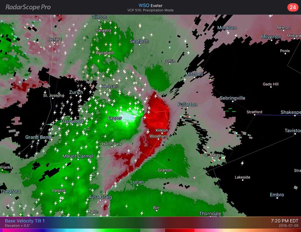
The latest radar scan had the storm taking on a bowing appearance with a persistent pocket of rotation in the NW quadrant where you would normally find a bookend vortex signature.
These little fingers of moisture were getting lifted all along the edge of the forward flank downdaraft.
As the storm continued to close in the structure now becoming visible was just awesome!
At this point in time the rotation in the northern portion of the storm seemed to simmer down somewhat. I'm not sure if that's due to the storms distance from the radar increasing or if the rotation was actually falling off, but whatever the case, the storm still had a very impressive radar signature.
Believe it or not, this is a single 11mm image. I cropped out the shoreline (didn't like the look of the grass). The storm was much closer than it looks in this image!
At this time the storm is about 10 kilometers away!
This is one of those moments where breaking out the 70-200mm lens was a good idea! It's hard to explain, but sometimes you just need to zoom in and focus on the key points of structure that are just amazing.
The structure on this storm was more reminiscent of a high plains supercell or a moisture packed HP storm roaring through Nebraska, but this was Canada over Lake Huron.
Despite this storm having a more linear and bowing appearance on radar, the curvature literally bent around into the primary updraft giving it that power high precipitation supercell look. The shear values were right, so this storm was definitely a super cellular hybrid of sorts.
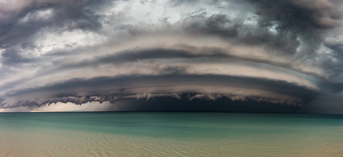
Here's a panorama stitched together from three separate images. What a beast of a storm, just beautiful!
Around this time, the couplet was back on radar and the storm was looking even more powerful with higher dBz values showing up in the strongest portions of the storms core.
What not a true mothership in the classic sense (that's reserved for LP supercell storms) this stacked shelf really had a nice curl looked to it that had that mothership type look. If you look near the edge of the leading shelf, thanks to light refraction, you can see a thin dark line marking the edge of the marine layer. You'll not the storm bends it upwards and eats it!
I zoomed right in to show just how green the area inside one of the folds along the stacked shelf cloud was becoming. There was definitely some hail growing but the 30C air at the surface with the very high humidity was ensuring that most, if not all of it, would melt before reaching the ground.
The storm was probably only 3 kilometres away at this point. The air was still calm if not blowing slightly towards the storm at the lookout location I was perched upon.
This was the last image I took before packing up and heading out. Again, this is super wide at 11mm, but rest assured, the storm was virtually on my head and I had very little time to spare.
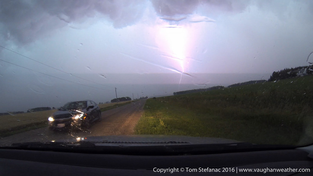
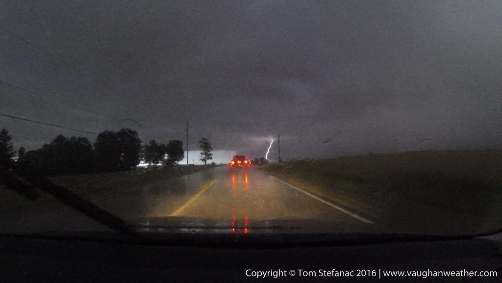
There were many lightning bolts crashing all around me which was the other reason for the rapid retreat. Lightning is the biggest danger, you can't predict it and don't see it coming until it's too late and I don't mess around, it's a killer.
I'm not sure how far away this strike was but it must have been no more than a few hundred meters at most. There was no delay between the sound and flash. A few other chasers were just getting in their car when this struck.
While less dramatic than the first frame of video, this gives a better idea of what was getting struck, and I'm still not sure? Was it a tree? Rock? Dock? Whatever got zapped sure felt it though!
Mark, John and myself bolted east to try and get ahead of the storm. This part of the province is pretty wide open and flat with only the occasional row of trees to obscure the view!
This was one of those marginal looking days. Rain showers through the early morning, a migrating meso low within a larger synoptic low and good shear dynamics in poor chase territory with marginal CAPE. I've seen many setups like this before many times and they either barely work, or fail altogether!
I kept an eye on the surface charts and by noon saw some potential with clearing migrating in from the south and a good forcing point near the center of the meso low.
I figured, why not give it a try! I was resisting the idea since I don't like chasing east of the 404 but whatever, I had nothing else to do!
I targeted a storm that soon formed near Mono Mills (right in the triple point) and continued tracking east through the Keswick area. The storm appeared to be healthy and was the only cell regularly pumping out lightning. Basically it was in the sweet spot and a good play I figured.
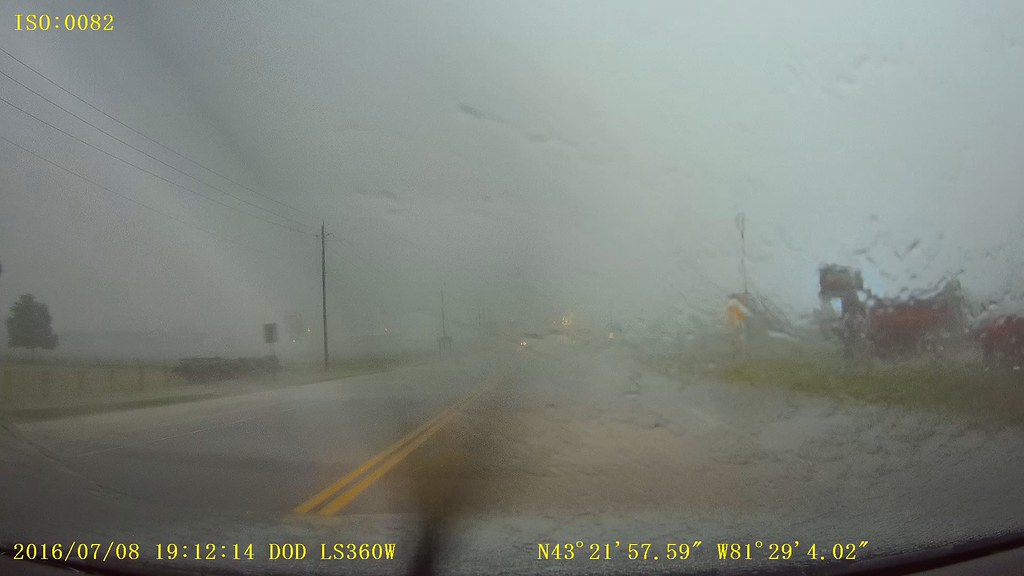
I blasted north and intercepted the storm near Udora. It was very underwhelming with no structure and a dirty shelf cloud. The environment ahead of the storm was also very wet and rainy. I was not impressed and left my camera gear in the trunk! It was one of those "well this sucks" moments.
I decided to fall back south and let the storm overrun me somewhat. Again there was no structure or anything! It was looking really blah and there was so much rain I couldn't even dare to get my camera gear out from the trunk and just ended up using my phone to snap pictures along the way. I was really not expecting much at all after seeing the lack of structure.
I stuck with the storm and it had some 30-40 km/h outflow winds at best. Despite looking blah I continued to follow it east hanging on the southwest side of the core. As time went on the outflow winds seemed to gradually get stronger.
As I punched through what I thought was the core I could see what looked to be another core area directly ahead of me. It was strange because what I was seeing and what the radar was showing really did not add up. Also note the wind direction here is northwesterly.
As I entered the new core area I could see some very rapid cloud motion above my head but it dissolved into the rain. So I put my foot down and really blasted east fast. The winds were predominantly westerly with the odd little push from the southwest.
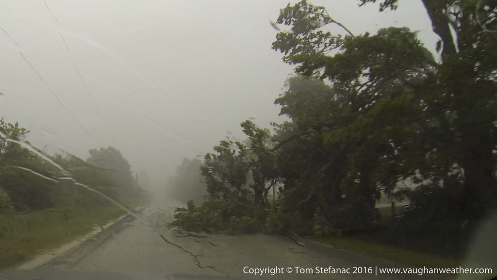
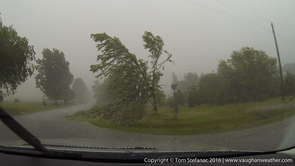
I eventually entered into a part of the storm with calmer winds but there was some scattered tree debris on the road indicating higher winds up ahead. No big deal, the winds were moving parallel with my motion so punching through wasn't all that hard.
I was so distracted driving that I never really payed close attention to the next radar update, and it didn't dawn on me that the storm had an inflow notch region forming.
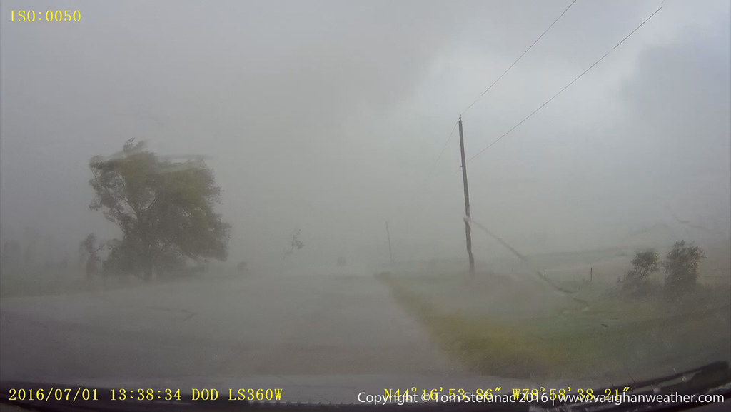
Suddenly just as I neared the edge of the second core the winds began to really get gusty which was concerning since the road I was on had tons of trees, big trees, which made me uneasy. The winds which were blowing from the west suddenly switched direction and began to blow hard, easily 80+ km/h from the south. This is when I took a proper glance at the radar and was a little shocked.
This was the real start of my chase-cation. There was a very marginal potential for severe storms and tornadoes were a virtual impossibility based on probabilities. It was a usual weird as could be high plains setup where by some miracle of the storm relative wind fields and near non existent moisture, the high plains would somehow produce storms which would grow in strength by evening and eventually everything would be pushed out by a cold front sinking south from Wyoming. Weird things happen above 1500 meters in elevation!
After spending the night in Denver we headed north towards Fort Lupton. Both parts of Wyoming and northeast Colorado looked great for storms. Near for Lupton I had to stop and take a photo of this mountain with a nice grass-hopper jack in the foreground.
After hanging out near Fort Lupton for a while I headed east to follow and watch one storm cell that was just fluff near Dearfield. The thing with these storms that roll off the mountains is that you never know exactly which one will become "the storm". Eitherway, it was still early and the mix of high based and low topped convection was not good!
By this point I decided to head north on I-25. These storms just west of Ft. Collins looked like they were trying to organize but still low topped and high based.
The radar was showing something interesting starting to come together in Wyoming with the storm tracking SSE at around 20 knots while the stuff in Colorado still looked mushy. The thing with chasing on the edge of the front range is that often the storms go up super dry and the radar can be very deceiving. Your eyes are the best tool since you'll often still be able to see more than whatever the radar can see.
On the way to Cheyenne there's a super flat wide open part of I-25 that's always windy where the elevation jumps to 1900 meters! On the way to this particular storm I was being buffeted like crazy, it was hard to stay in my lane!
Once in Cheyenne, the storm began to quickly look more and more organized as it moved into a deeper more moisture rich boundary layer.
The inflow base had that nice chiseled look where each little stub of cloud was condensing right at the lifting condensation level.
I quickly blasted south and east to get around Cheyenne and put myself back ahead of the storm. At this elevation to see a storm registering with reflecitivities so high means that hail is guaranteed. I think the largest stones at this time were around 1 inch.
After popping out from under the storm I was shocked to see it had transformed into a beautiful classic supercell. The storm was super low precipitation, I think dew points were like 40F and cape was only on the order of 1000 j/kg but there was enough directional shear relative to the storm motion to produce this supercell.
Considering conditions were marginal at best I don't think this is all that bad!
I stayed with the storm which was super easy given the 80 MPH speed limits. Unfortunately another storm had developed about 100 miles south in Colorado and outflow from that storm was quickly headed north.
The outflow from the stuff in Colorado killed my nice Wyoming supercell and I headed towards the Colorado storms.
The storm complex which look good on radar became a real mess by the time I got where I needed to be. The high terrain this far west is a blessing and a curse. It helps storms form without needing any of the usual 850mb parameters but at the same time dries out the atmosphere and limits moisture. In this case, as the storm complex moved east the atmosphere became deeper as the elevation dropped but the moisture did not increase with depth and the storm fell apart.
As the storms grew and died in a strange twist they generated their own local moisture fields and began to re-saturate the atmosphere.
Eventually another more organized storm complex formed and started to take root. Strangely enough the inflow was situated on the north side, but given the odd wind fields its no surprise.
This storm which began to exhibit some weak rotation was actually a -counter-clockwise rotating storm but had clockwise reversal of the features. Weird, I know!
Eventually everything became outflow dominated and the storm fell apart.
Near Logan Colorado the fields and road were coated with a covering of hail stones ranging from pea sized to nickle.
Lot's of hail.
The hail drifts at the side of the road were half a foot deep in places after rain had washed the hail aside.
This years chase vehicle! The top antenna is a cellular amp, K40 on the left is for the CB, middle antenna is a Diamond CR-8900 quad band (10, 6. 2 & 70) while the right antenna is a 5/8th 2m whip.
The models two days prior had already indicated that today was going to be a long chase day with a slow moving cold front and pre-frontal trough sparking off convection as it crept into a warm southwesterly wind field. By 11AM storms had already started to quickly form and by midday the action was in full swing.
So I had to fix my computer. Long story short, it was in the shop for a week, I needed a new motherboard and the part finally came in from Montreal. Perfect! I raced up to Canada Computers to drop the board off for installation before the storms started.
That was the plan anyway, I was barely out the door when cells started to go up to my immediate west and the chase was sort of on.
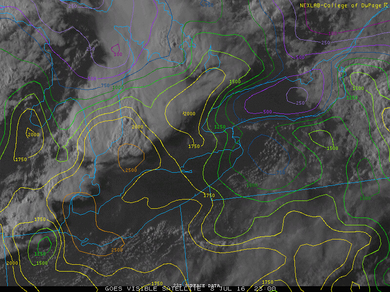
The storms. still a distance away were part of a surface wave that was tracking east from Lake Huron. I was watching this feature on the visible satellite image and ironically it began to balloon into something while I was trying to do the whole run to the computer store thing.
As I headed northwest to intercept the first cluster of storms for the day some low hanging structure came into view.
I pulled into an empty school which gave me a good clear view of the sky. This feature was both an outflow and partial inflow feature. If it was curving the other way it would be a bonafide wall cloud.
The storm on radar was beginning to look a little more intense than it had before and a stronger core was growing.
When you see these types of scuddy things right on the edge of a strong storm core usually it means a notch of some sort is forming and it also means there's a lot of pushing and pulling between air trying to get out of the storm and air being forced into the storm.
You can see where the storms forward flank meets with the main updraft and to the far left of the screen your also seeing a little bit of the rear flank with outflow scud.
I quickly raced into a better "I'm getting cored" position and shot some video. Photos just don't do strong cores justice, you need video! I clocked winds of 96 km/h briefly.
Here's the core as seen through the GoPro.
This was taken just as I was about to cored, you can see how there a bit of a notch like thing on the BREF. Basically it's warm air curling around and trying to feed into the storm. The SREF numbers were low, almost zero, but still a typical notch like echo for Southern Ontario.
I kept with the storm for a little while but it was moving into an increasingly urban area and already outflow was undercutting the warm southwesterly surface flow. Basically, any other storm in this area would have likely been elevated.
I decided to head west and intercept storms as they went up along the frontal / outflow boundary. It was the best option since I could pick and choose storms easily and most of them were growing in fresh unstable boundary layer conditions not yet having been contaminated by outflow cooled air. Just as I was gassing up one storm unloaded its core and I was just soaked while hiding behind the gas pump attempting to fill up my car!
I'll ignore the gas station cell, while wet, it was on the "cool" side of the boundary. This storm near Campbellville tried for a little while to get organized but eventually just blew out as it cut itself off from the warmer air.
Just as the first storm appeared to be dying a second cell on that storms outflow went up on the warm side of the boundary and merged into this blob like thing on radar.
This was a little puzzling... this deck of scud was under the updraft, exhibited some upward motion but was pretty lame otherwise.
It looks like there is a shelf trying to form which indicates outflow yet there is evidence that the scud is also being drawn in from the storm rain cooled core?
This area had scud rising very rapidly. It was quickly condensing and becoming attached to the cloud base but there was zero rotation.
I eventually found myself underneath whatever this cloud structure was. It was very low and moving against the storms outflow. This only became apparent once directly underneath.
I was finally able to get southwest of the storm and it began to look more like an inflow structure or a very simple want to wall-cloud look alike thing.
This storm still puzzles me, I don't want to call this a wall cloud but it was clear that the storm was ingesting its own moisture as you can see scud feeding into this structure from left to right. This storm eventually move into terrible terrain and I headed west.
This was going to be storm number three in the line. It was a stronger cell that was just on the edge of the cold outflow boundary and looked okay on radar. Fellow chaser Ryan Dobbie was not too far away in Embro and we hooked up.
The Embro storm which was now just north of Woodstock had some amazing low level inflow that was going straight in and the scud was just going right up. Unfortunately, it began to go linear and again outflow started to undercut the inflow.
This area for a little while had me interested but it eventually fell apart.
Here you can see how the storm core started to re-develop just to our northeast and the storm has now become really linear.
Despite the outflow undercutting the storm at the surface, aloft, maybe 300 meters or more above the ground there was fast moving inflow. Enough to keep the storm alive but not enough to keep it surface based.
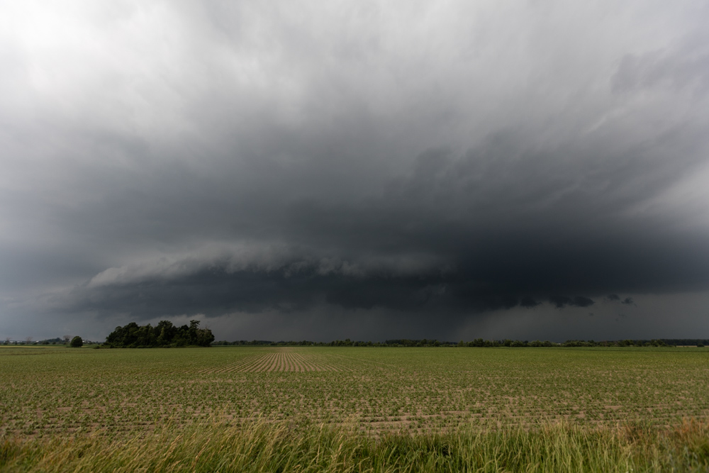
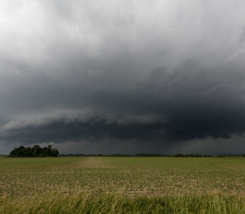
Ryan and I headed back south to intercept the nose of a bowing squall segment which had migrated all the way from central Michigan. Unfortunately this feature was propagating through the prior storms outflow which diminished its intensity.
A little notch like feature (with no base velocity) formed just to our northwest and raced up to catch it.
You can see how the storm looks at the surface relative to the radar.
The tip of the bow so to speak was that piece just crossing the road in the distance and the notch (if you want to call it that) is just to the left in the rainy area.
After intercepting the squall line which was storm 4 we headed south in the hopes that something else could get going in the warm air. A little storm did try to go up but I suppose the stable marine layer from Lake Erie was just not favorable.
I was surprised to see this beast of a chase vehicle. It is pretty slick!
Ryan posing for the camera with his dodge and the "canwarn spotter" lettering. It was a fun day and it was nice to meet Ryan and his brother out in the field (haven't seem for a few months).
Some fo the weather models were a little crazy going all out! I was more conservative in my approach to this potential chase day... or at least I tried to be!
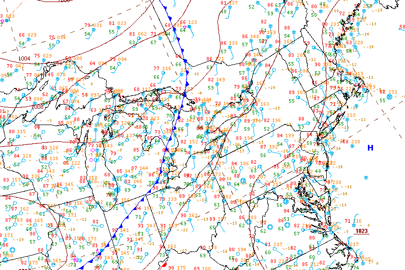
This is the 1:30PM surface analysis I whipped together, at the time everything seemed to be up in the air but I was still confident storms would fire.
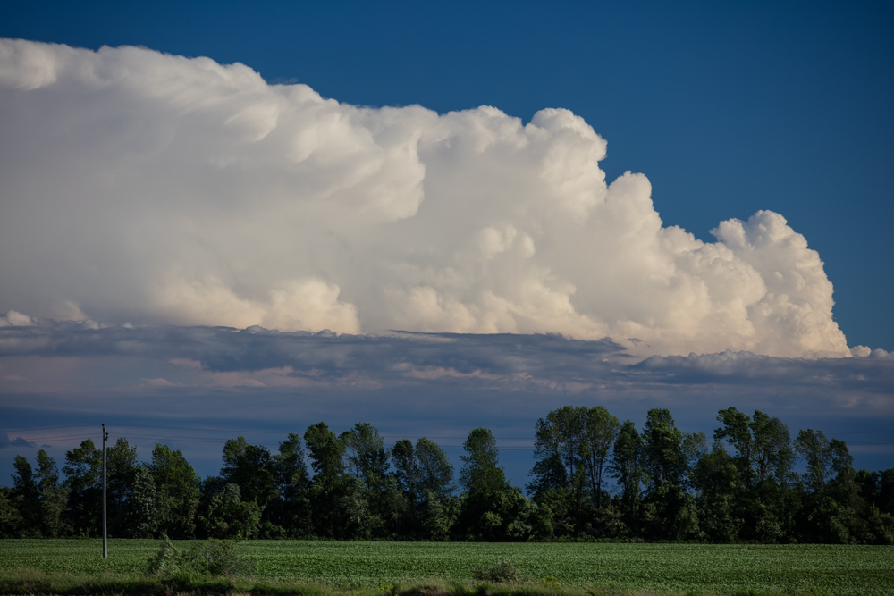
This photo was taken on Airport Rd at the 25th Side Road looking due east at a developing storm over Beaverton. Echo tops were estimated to be 45,000ft when this photo was taken.
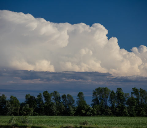
Here's a photo of the Beaverton cell as seen by the KBUF radar. You'll see it had a wee little hail marker in there at the time.
This beautiful storm near Dundalk produced a non-rotating wall cloud and had some wonderful structure.
As the storm cell tracked SE and moved farther away more of the storm as a whole became visible and it looked beautiful.
This was an impressive shot I could barely fit into the wide angle. Not only can you see the wall cloud under the rain free base but you can also see the full structure of the primary updraft and its flanking line plus the rain to the left side of the image.
After following the first storm for a while it became high based and began to fall apart. Thankfully everything was firing along a boundary sinking south and these fresh storms exploded near Melancthon.
The storm core was less than impressive, there was plenty of heavy rain and small hail but nothing too substantial as far as wind went. The storm also had a cold, elevated look to it. Probably a result from training over the previous storms outflow.
This storm which was just a little to the west of the previous storm was in untouched warm air and had beautiful billowing updraft and several interesting lowerings.
Most impressive was the lowering on the west side of the storm as well as the impressive rain foot closer to the northern forward flank.
Blasting south to keep pace with the storm as it headed towards Orangeville narroly missing Grandvalley and interesting outflow/inflow feature presented itself as a hybrid shelf cloud which was fed by westerly inflow.
Near the Caledon Village the OIrangeville cell or what was left of it morphed into an interesting multicell cluster with an amazing amount of motion and scud activity but nothing that really presented itself as threatening.
A small rain and hail shaft to my immediate south near the Brampton Airport
This was taken just a short jog down the road from the previous photo, again you can see how in some places the storm appear high based and in other they have a much lower base level all a result from transecting outflow.
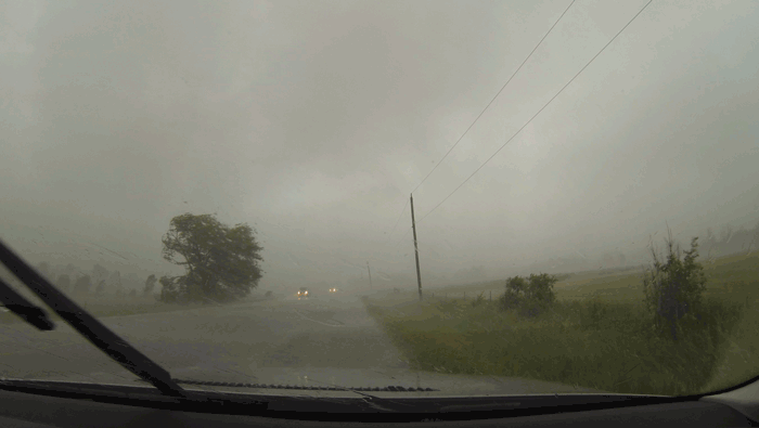
This photo was an accident as I clicked the shutter while rounding a corner. What can I say? It turned out great!
Unfortunately, the problem with the while Caledon area and northern reaches of peel is that the whole area is tree laden. I was still able to get some sunset shots where the sky peaked through the tree canopy.
Here's a shot of the storm cluster as it moved over Brampton producing small hail of up to quarter size and some wonderful lightning. The storm continued south and eventually moved out over Lake Ontario.