The first surface based cumulus that's not from a snow squall or producing snow at the surface!
Hey what can I say? It's been a long winter!
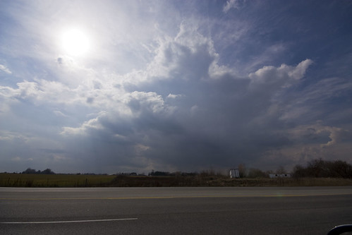
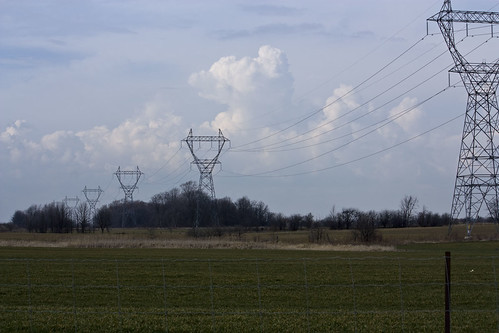
The first "thing" that eventually turned into a 32,000FT storm cell.
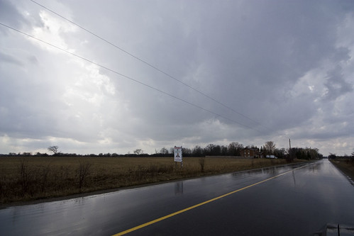
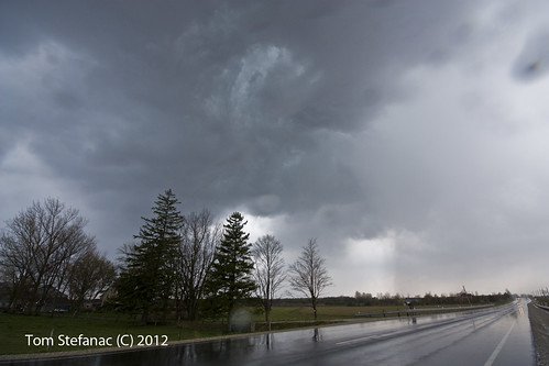
Not sure what's what here, radar says I'm under a storm but it's hard to tell with all these towers producing showers and the odd thunder cracks.
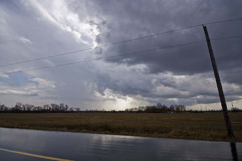
Popcorn storms are the order of action but that's cool, I'll take anything!
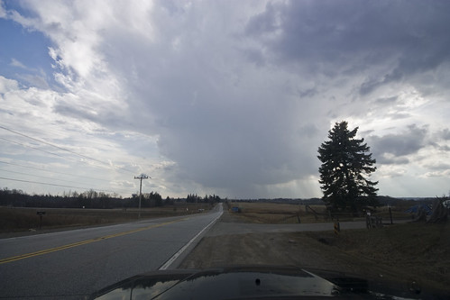
Looking down the road at new development & preparing to head in that direction.
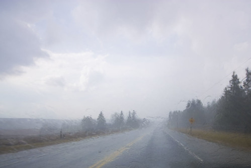
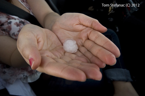
I looked high and low for hail in the strongest storm cores, I did find some wet sloppy melted stuff embedded with heavy rain in a 60 Dbz core but that's all!
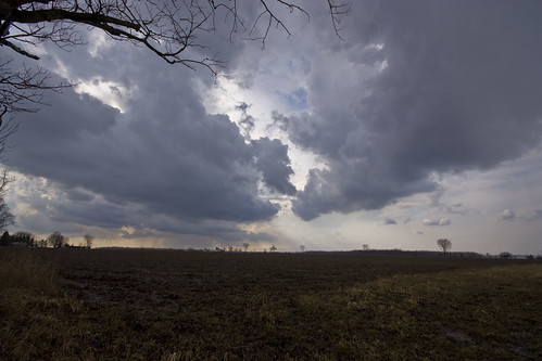
Towers to the right, a collapsing storm to the right and a crack of thunder.
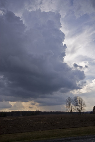
This tower came out of nowhere and began rocketing upwards but alas soon evaporated at the base and went kaput but not before dropping a bit of rain.
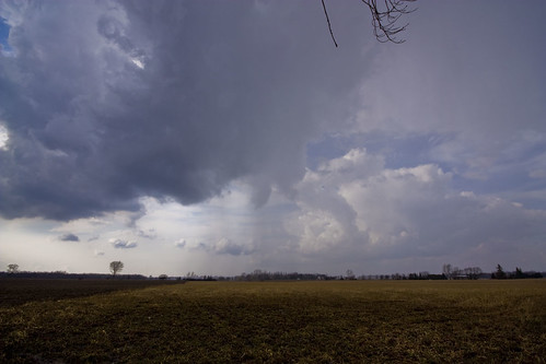
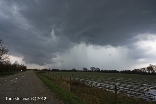
Not much to be had with these storms, barely 500 j/k SB CAPE & a serious lack of wind shear at all levels. Still, this storms had a weird thing hanging out of the flanking line but it never went on to become organized to any degree.
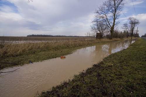
The almost stationery storms did drop a fair amount of rain locally flooding out some fields and even side roads.
