July 1st 2016
On July 6, 2016
- Uncategorized
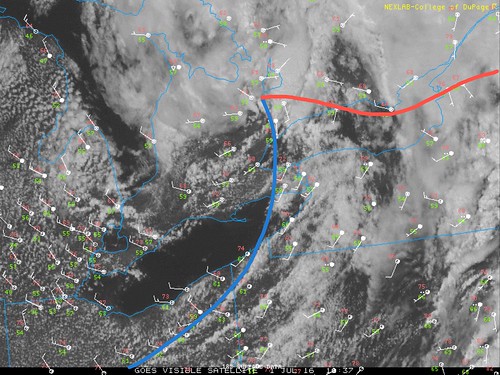
Now while I was in the storm, the synoptic environment was playing out perfectly. The storm was in the best possible area for forcing, moisture convergence, low level vorticity and aloft it was aided by a mid level vort max swinging through. The storm was basically sitting at the warm front / cold front intersection almost in the centre of the meso low, which is basically ideal spot for spin.
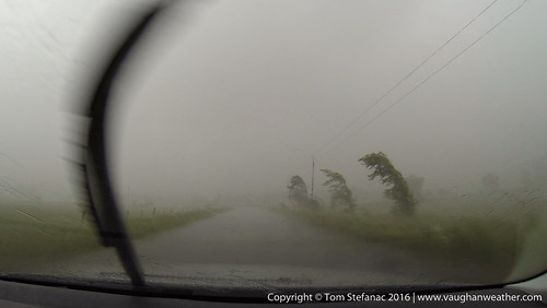
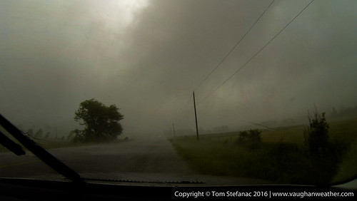
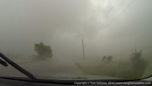
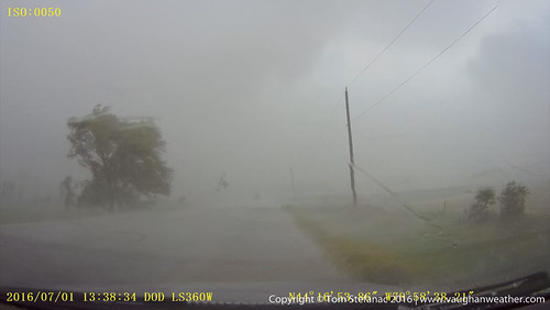
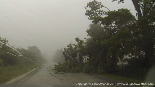
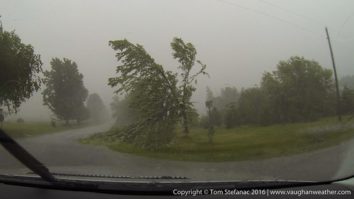
So I'm still here blasting east and pictures don't do this justice, but the trees were all bending over from the really strong southerly inflow winds. This had me very concerned since I realised at this point I was directly inside the inflow notch and rotation was blatantly visible on radar directly over me. I'm thinking to myself that this is Ontario and there's nothing to worry about but in the back of my mind I'm thinking "geeze, I hope nothing's beside me".
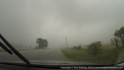
At the next intersection with a southerly option I dropped a hundred meters or so south and looped around to look back north. I was trying to eyeball what was going on and watched some low cloud blowing past. Visibility really was crap, and I was thinking downburst but then the inflow feature had me confused.
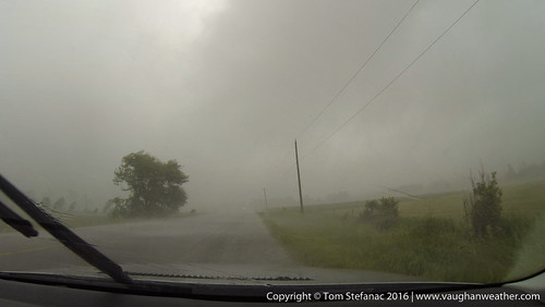
Then suddenly as I looked upwards (out of frame here) I saw a round conical bowl shape. It took me a second to realize I was looking up at the side of a funnel, below it there was very ragged scud cloud. I then freaked out a little becuase I realized a rain wrapped tornado (EF0) had developed in the field right beside me explaining the strong and sudden southerly inflow winds. In fact I may have driven through the rotation as it was very broad.
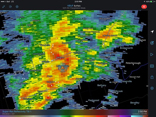
What's interesting to note here is the presence of what appears to be a BWER just north of my location shortly after the rain wrapped tornado. These types of radar signatures are either associated with updrafts punching precipitation out creating a donut hole or precipitation wrapping around a larger circulation.
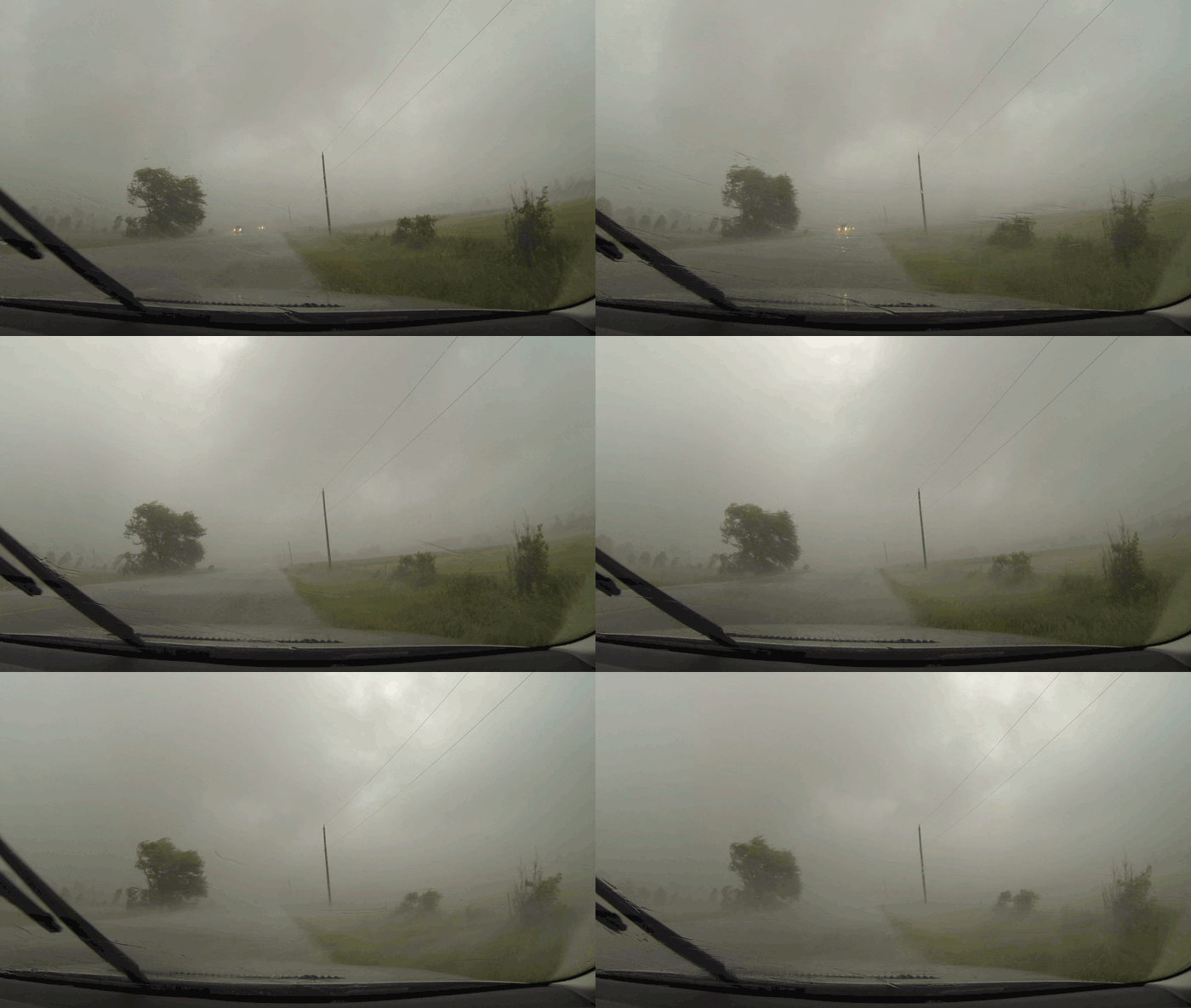
Here’s a gif loop showing the tornado crossing the road.
Two videos showing the tornado crossing the road.
