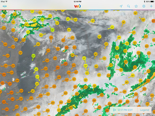
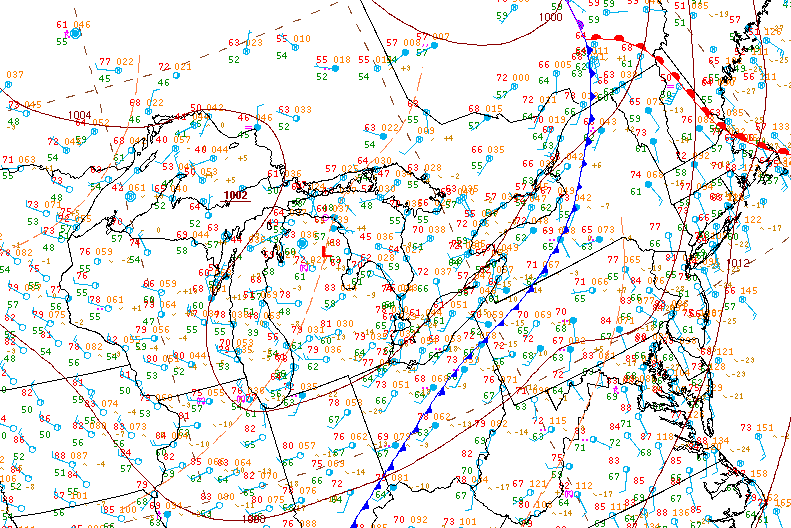
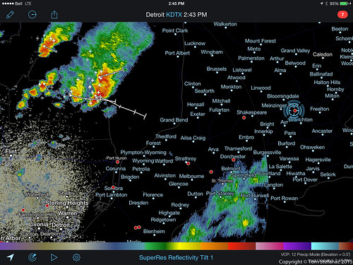
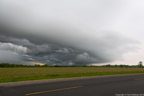
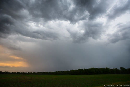
This was one of those somewhat unusual setups where storms were poised to fire along a trough from a secondary low behind a weak cold front. The initial cold front brought weak storms and drenching rains overnight and into the morning.


The day started with dense cloud cover and dreary showers. Despite the washed out morning conditions, clearing and warm air advection began to ejected energy from Michigan northeast into western portions of Southwestern Ontario. The lingering cloud cover also began to clear from west to east. The environmental conditions quickly began to become favorable for storms and some weak convection initiated in Michigan.

A few storms began to form over central Michigan and track towards the border. I decided that it looked decent enough to head out and traveled west towards Exeter.

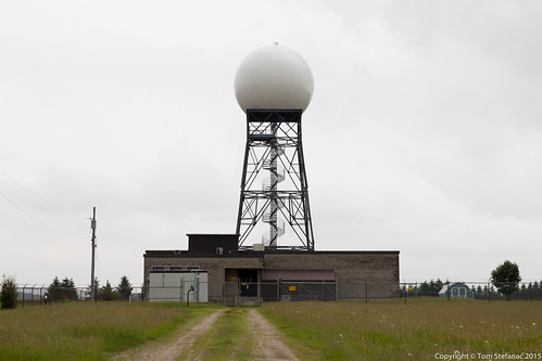
I took a few minutes to stop and visit the Exeter Radar Site since it was literally along the way into town.

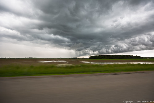
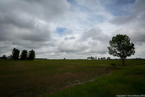
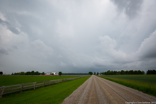
Just west of the radar site the skies began to clear and the extent of the deep rich low level moisture became apparent and thick super low level cumulus started to form. You can see how wet the ground is from the storms the previous day and the early morning rainfall.

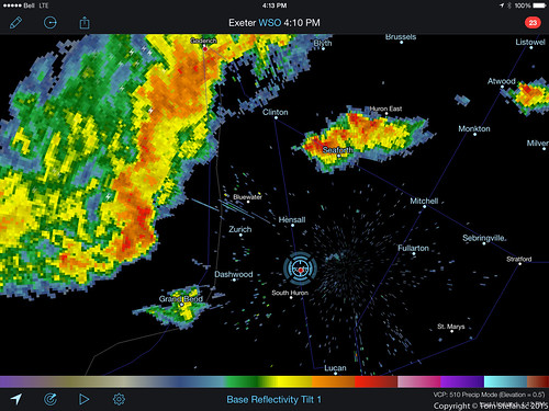
I stopped in Exeter, grabbed some A&W for lunch then headed north. While I could hear thunder an incredible amount of haze had fomented itself around me. Just north of my local two discrete cells popped up as the nose of warm air from Michigan began to break through the cooler air from the morning.

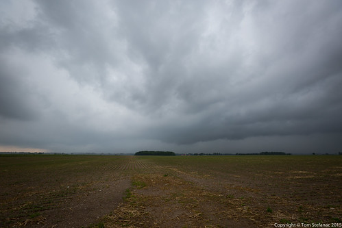
This was the first storm to my west. I could see very little structure due to the haze and cloud. I sat and watched before I eventually decided to travel south.

The storm soon appeared to look more organized and I could see core structure as well as outflow features.

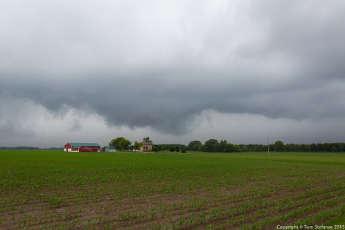
This pile of scud looked like a wall cloud briefly but it was most likely an outflow only feature.

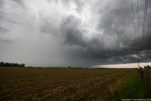
As the storm drew nearer it has a pretty solid looking core and a ton of outflow wind. Unfortunately I could not see any solid inflow structure to the southwest which sort of worried me.

I stayed right on the edge of the storm but it was just chugging along at a good clip and dumping tons of rain and outflow crap in its wake. I eventually met up with fellow chasers Scott Burlovich and David Piano and we regrouped to head west towards another storm.

As we headed towards another storm this was a neat shot looking back at the first cell. You can see the core of the storm to the immediate top of the photo (north) and the whales mouth to the right (east). This entire whales mouth feature was a massive outflow boundary that was slowly pushing south away from the parent storm.

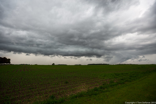
As we got closer to the second storm which we had targeted it began to fall behind the outflow boundary from the first storm. As this happened it was apparent that there was little structure and likely no surface inflow. This was a half hearted attempted at a shelf cloud.

Eventually we fell south and a new weaker cell began to form ahead of the outflow washed storm. In littler three radar scans it jumped from a weak rainy storm to something more impressive little. As we punched through the storm and wound up on the northwestern flak we had a good clear view of a nice flanking line and good inflow structure.

This storm had now managed to meet up with that big outflow boundary and started to pull in warmer air south of the cold pool at the surface.

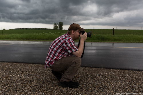
I took the opportunity to grab a photo of Scott while he photographed the storm.

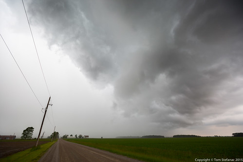
We fell south with the storm and I quickly noticed some crazy spin in the cloud directly ahead of us. We both stopped and started taking photos and video. I can't explain it with still photos, but the rotation was very pronounced.

This was the inflow/outflow part of the storm where had there been a tornado, it would have been located.

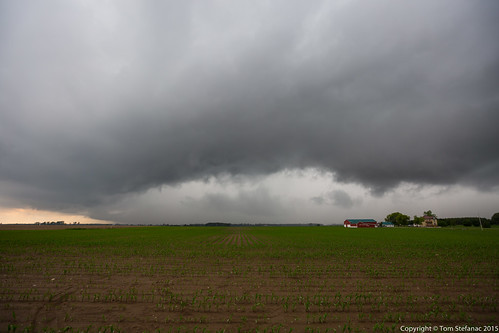
Again, the outflow began to get ahead of the parent storm and trigger a cool whales mouth. By this time the visible rotation had diminished.

This was the area where new towers were growing but not precipitating. These clouds were super low!

Eventually everything just became a big pool of outflow and fresh storms failed to really successfully fire while whatever was on radar quickly fell apart. Getting out south ahead of the outflow the air was 26C and it was hazy and humid.

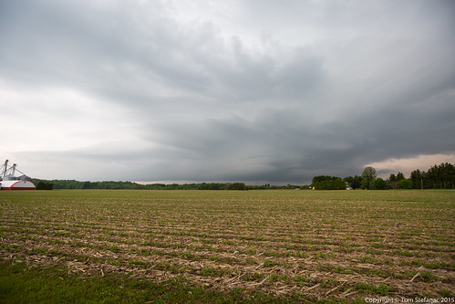
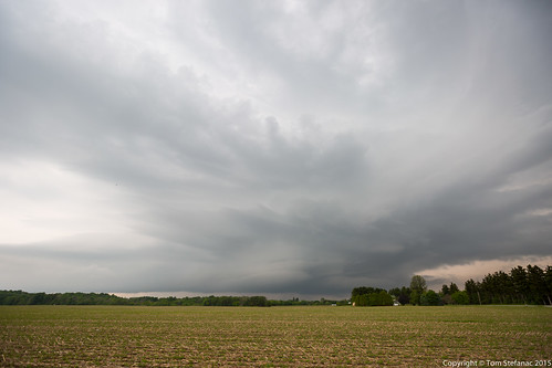
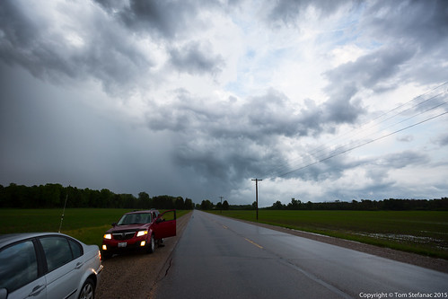
I noticed on radar a new storm had started to brew to our northwest but visually we could not see much of anything. I suggested to Scott we head in its direction and once we were about 4 km out we stopped and had this interesting view!

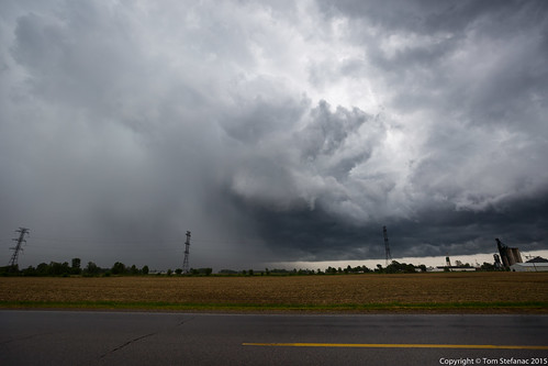
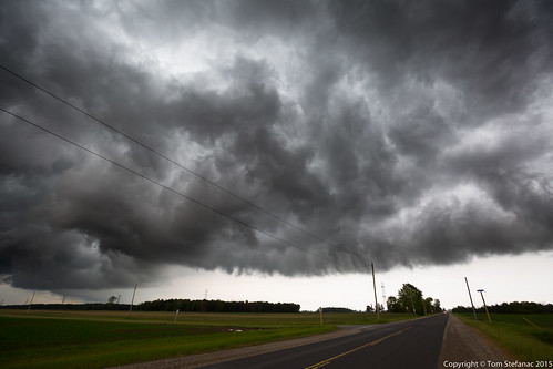
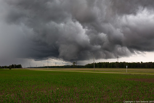
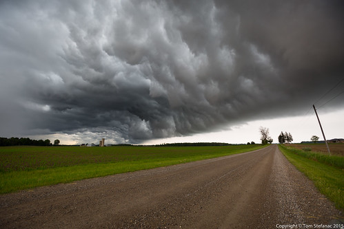
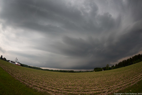
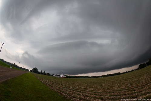
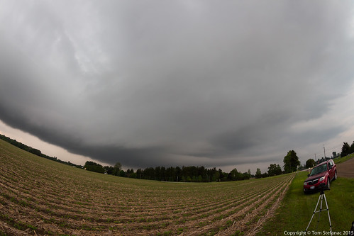
The storm was unusually laminar looking with mid level inflow present. It's unusual to see this type of structure in Southern Ontario so I was very enthused!

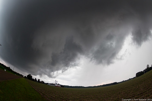
I had to grab the Fisheye lens, this storm had such a cool look to it! Despite being very laminar it had no rotation that I could see, at least not on a ground relative level but mid-level inflow banding was very very present.

This wall of cloud which almost had a roll cloud look was just to the southwest of the main storms core region.

Interesting to note is that the storm had this beaver tail like feature. Again, this storm was hauling in mid level and low level inflow so it makes perfect sense to see moisture just streaming in from the southeast.

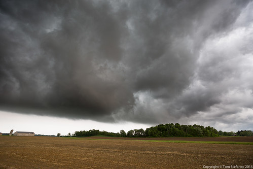
The edge of the storms core was just coming across the trees in distance. I figured this was a cool photo and I only had about 30 second after taking it before the rain hit.

Eventually Scott and I fell back southeast and punched through the storms core. It was very underwhelming but it was fun to watch Scott try and fight with the rain to photograph some crepuscular rays breaking through the rain.

I waited for a bit and watched some lightning trickle out of the storm with Scott. It was nothing that would be easy to photograph so I called it a night and headed home parting ways with Scott.
