May 10th 2013
On July 19, 2016
- 2013 Storm Chases
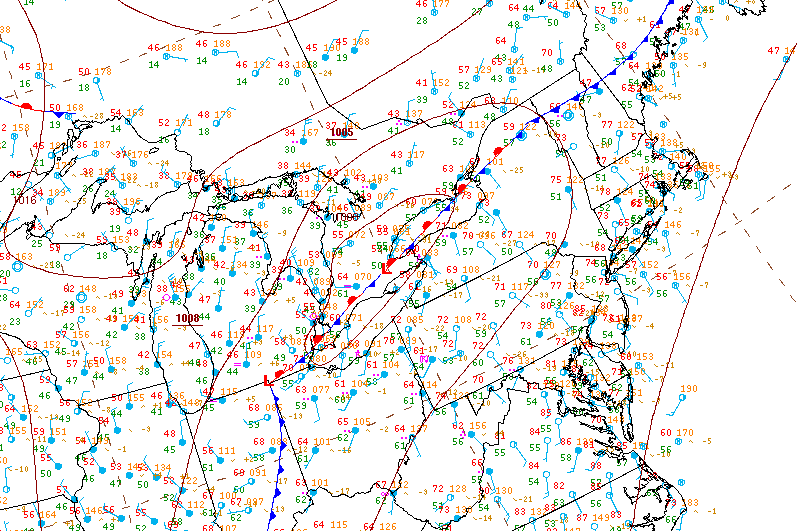
Surface analysis 21Z Fri May 10 2013

The setup for storms was driven by a low scooting just north of Lake Erie and Ontario, the supercells in Southcentral and Southeastern Ontario formed along the warm front where a marine / lake breeze boundary interacted with the surface warm front and trigger storms

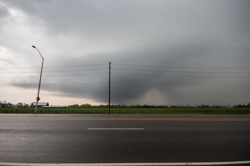
A weak elevated supercell in a low energy but moderate shear environment approaches Milton

The storm is now passing through Milton, you can see mid level clouds flowing into the storm from the Southeast (image looking west). It also presents a bit of a vaulted type structure with the usual lateral tilt of the updraft. Slight clearing between the "hail" region of the core and the heavier rain is visible just to the right of center.
The biggest problem with this storm if any is the fact that it remained elevated with limited boundary layer interaction and hence produce virtually nothing as far as wind at the surface.

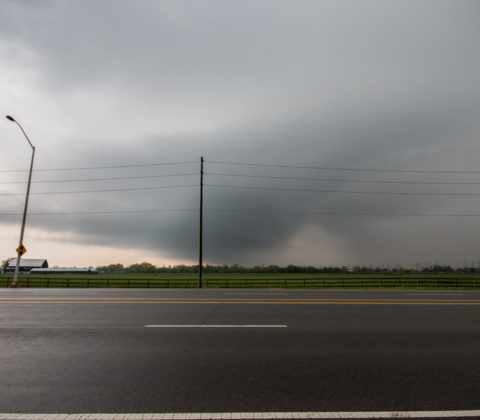
Inflow / outflow and rain as the storm passes overhead and looses some of its structure

Here a screenshot from PYKL3 (Android radar software) showing my location and a weak couplet appearing on the NWS Buffalo Nexrad radar.

Here's the Meso Analysis sounding for a point nearest the storm at the given time. You'll notice the storm is entirely elevated with very little cape and very low topped since the LFC/CCL EL is ~7km.
lon=-79.813855 lat=43.555635

The hodograph data shows little in the way of dynamic shear, all the veering in this ground relative hodoraph is below any of the convective instability.

The storm relative hodograph shows a very different story, veering winds with supportive inflow exist well above the ground into the mid levels allowing the storm to still rotate (although very slowly) despite being elevated.
This explains why this storm took on a supercellular structure.