Today was the first “real” Southern Ontario chase that presented any possibility of actual thunderstorms. Having gotten back from tornado alley I was not storm deprived but I was not expecting much either. After chasing down in the alley, Southern Ontario can be pretty boring. I usually don’t feel the storm vibe here until late June or early July when SDS (storm deficite syndrome) begisn to set in again.

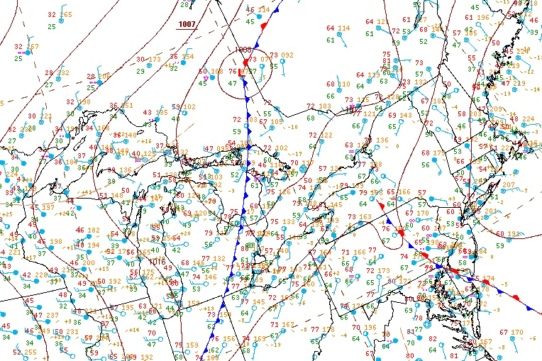
The play was going to be along a cold front swooping in from Michigan. There were indications that there could have been some storms earlier in the day around 18Z/2PM along a pre-frontal trough however mid level subsidence crushed everything. I spent a few hours at the Cambridge Onroute service centre. Things inititally looked somewhat promising but then the cu field quickly began to show signs it was just turning into pancake cloud. Pancake cumulus is a term often used by pilots to describe cumulus that hit an inversion and stop growing vertically but instead flatten out and turn into stratus, from the air they look like pancakes apparently.

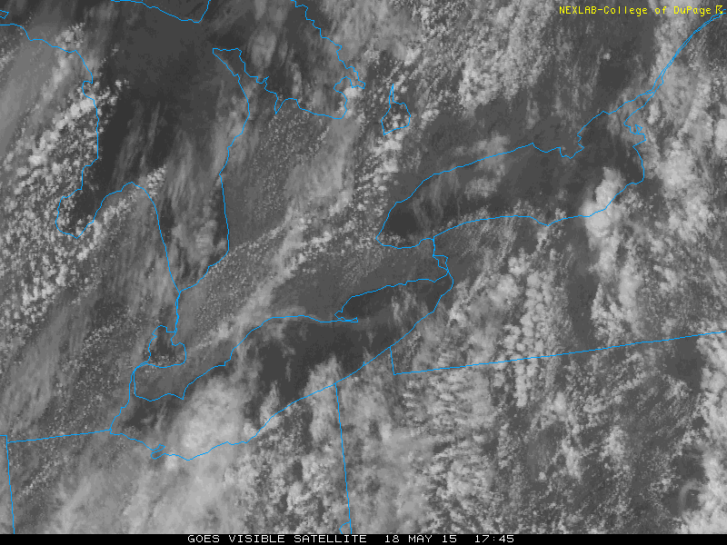
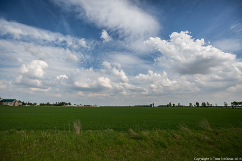
Again, the only area of pre-frontal convergence was right between the lake breeze boundaries just west of Hamilton and you can see how the clouds are flattening out and not growing any taller. They were all hitting this nasty 600mb inversion and it was just halting their development.

After hanging out in Camebridge for what felt like too long I decided to head west towards Stratford. There we're some storms cells popping up in Michigan and slowly heading towards Lake Huron. I figured I may as well get into some sort of half decent position should anything survive the trip across the lake.

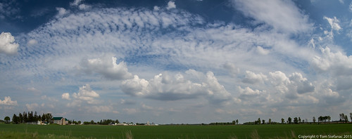
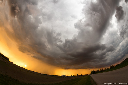
This was the sky outside of Dublin. I took this photo using my fisheye lens which captured around 180 degrees of the horizon. You can really see how the there was a spur of cu and tcu growth in the area. As the front approached lapse rates began to pick up but the problem was there was stabilization from the marine layer being pushed on land by the southwesterly surface flow.

Another similar shot showing both low level and mid levels clouds indicating instability in both levels of the atmosphere.

Just as I was twiddling my thumbs I saw a dust devil spin up in the field beside me and I gave chase. Of course it was a fruitless chase since I eventually lost soft of the dust devil but it did cross the road in front me which was cool.
A few moments after my dust devil chase John Scheer caught up with me. He's another local chaser who lives in the Stratford area and decided to swing by and say hello.
After hanging out and chatting for a while John and I headed towards Bayfield to intercept one cell that seemed to be surviving the trip across Lake Huron.

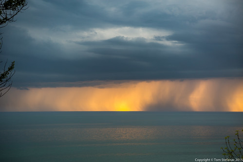
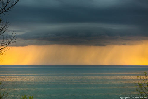
The storm near Bayfield started to look okay. It was not severe or anything but the sun was creating some nice backlighting.

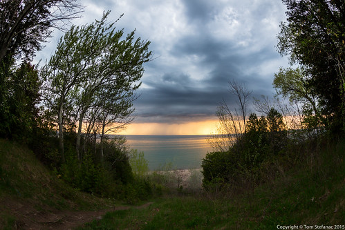
Unlike may of the other great lakes, the problem with Lake Huron is that often there are huge drop-offs down to the waters edge. There are only a few places along the more southern shores of the lake that are a straight to shot to the waters edge. This was one of those drop-offs where we were forced to shoot from above without actually being able to head out to the waters edge.

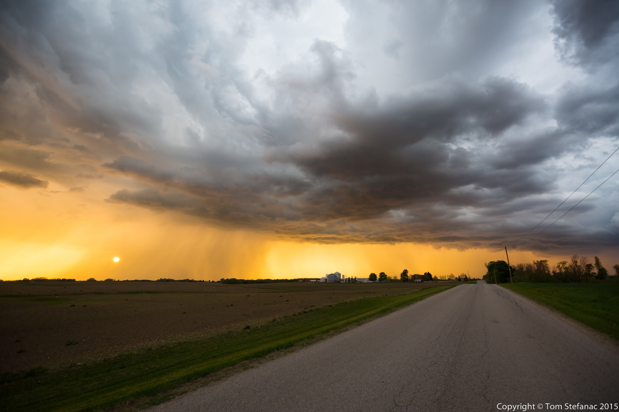
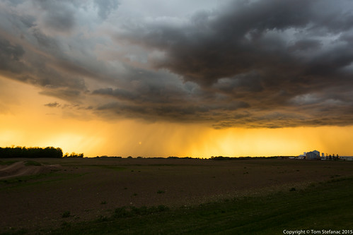
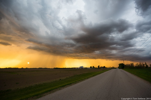
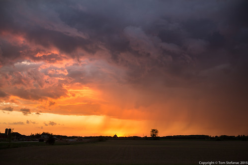
Once the storm began to make its way inland, both John and I headed back east to keep ahead of it. The setting sun really made the storm look beautiful. It tried to produce a shelf cloud of sorts on end but it never really materialized. Some other chasers on the northern edge of the cell (Laura and Scott) really got a beautiful shelf cloud!

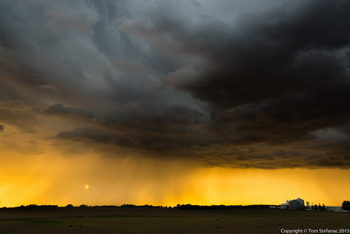
Again, another shot of the storm. The light made the contrast pretty intense.

It was nice to see the sun through the rain curtains of the storm. Again, nothing severe here, just a pretty sky.

I was running out of time and daylight. I needed to be for 4AM the following morning and decided to give up on the storm early. There was some lightning but I did not feel it was worth my hanging around since I had a good two hour drive ahead of me. It was a fun little chase.
