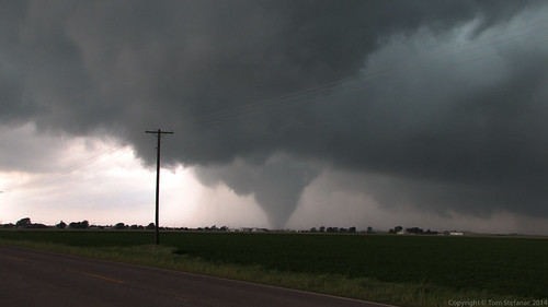
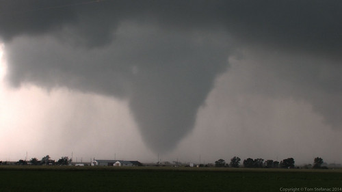
May 19th 2010
On April 8, 2014
- 2010 Storm Chases
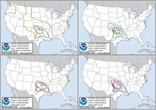
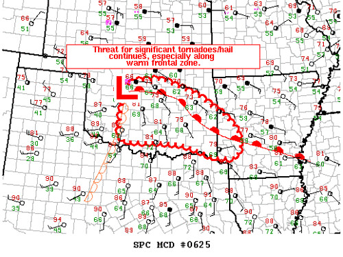
The SPC had been calling for a high-risk some three days prior. The models were screaming about today and the SPC continued that lines of screaming.
The outlook text was caution that there were going to be tornadoes today and people were going to lose property.
Strong words back up with telling graphics!
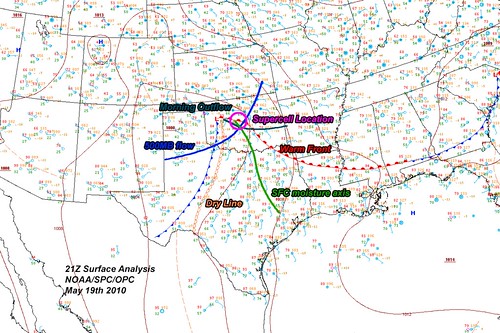
I spent much of the night and early morning hours of the 19th driving back into Oklahoma from Texas. I knew it was big day and wanted to start off in position ready to go.
I spent the night in Weatherford and basically awoke to find myself in perfect position.
I was sitting on the multipoint. In meteorology and math an area where three lines / boundaries / bodies intersect is usually called the triple point. In this case, it was more of a multipoint since the warm front was there, a thermal trof was right overhead, an outflow boundary from an MCS that blasted through around 7AM had stalled out and the moisture axis was also right on top. The only thing missing was the dryline itself which was still to the west and starting to bulge as it pressed east.
I spent most of the morning looking at maps, computer data and making sure I was making the right decision!
High risk days are hard to call, there is so much activity to be had, and it's easy to chase the wrong storm or to get pulled away because you think your missing a good storm only to have one better form right where you were before.
I decided I was playing the warm front and the boundaries. That was where all the best shear was and the storm chasers this day really split into three camps, those who chased west Oklahoma, those who chased central Oklahoma and those who were undecided in the middle.
I was in the Central Oklahoma camp and boy am I glad I chose to play where I did!
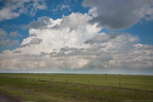
This storm was not even a blip on radar, it was flying in the clear!
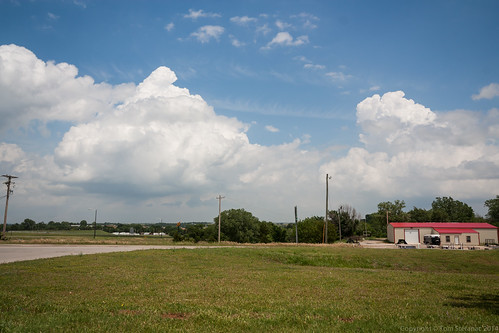
I saw this one tower build into what looked like a storm take over the local environment. It was right where it needed to be and I decided to give chase.
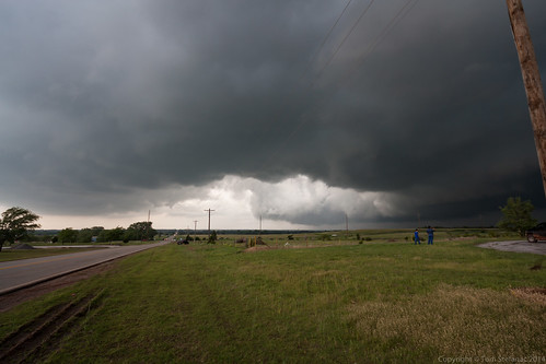
Once the storm came into clear view it became apparent that it was hugging the ground and completely low precipitation!
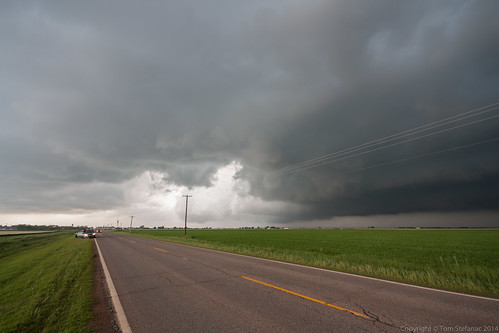
The storm slowly grew and really latched onto the warm front. All the shear and dynamics became visible as a 60 knot gate to gate meso quickly grew to 80 knots and then 100 knots.
It was at this point I knew a tornado was imminent. The radio chatter also grew silent, chasers and spotters alike were just waiting.
