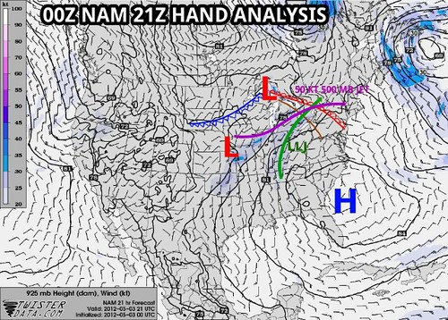
This is a hand analysis I made using the operational 00Z NAM forecast for the afternoon of May 3rd.
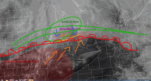
A quick 15 minute rough analysis I threw together just before 11AM.
The red box was the area I figured was best for storms and proved to be bang on. So I'm pretty happy it all worked out!
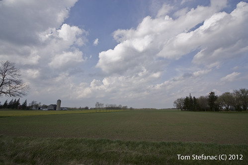
The CU field just prior to storm initiation in Alma, ON.
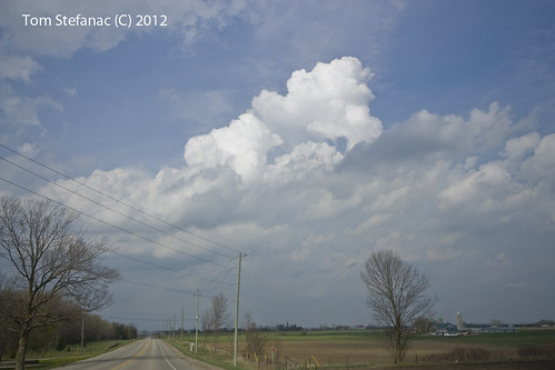
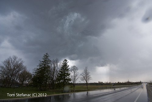
Storm begin rocketing up. This is looking north towards Arthur from Wellington Rd 12 north of Parker.
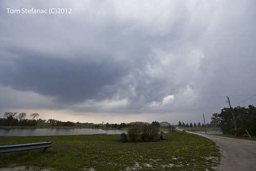
The first storm I intercepted. This storm produced a good scattering of 1/2 - 1 cm sized hail but went on to produce hail up to 2 cm in diameter just to my east.

This is one of the melting larger hail stones the first storm went on to produce.

This storm was the tail-end charlie at the time. It quickly matured to my west and virtually trained over my head. I had to edge out of the core as the hail stones began to get loud & had me worried about vehicle body damage.
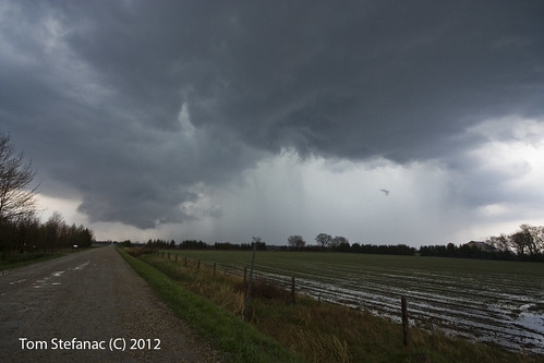
You can see in the above image good inflow/outflow mixing at the rear of the storm. There was subtle rotation with good warm inflow to be had.

These were the hail stones that dinged my car and forced me to back away from the core. Pretty hard stuff!
Jen (the girlfriend) had some nice nail polish on. I submitted this photo to Environment Canada shortly after I took it for verification. The Environment Canada met (Arnold) commented that it was a nice nail polish LOL.

Here is the storm cell continuing to mature as it edges eastward just north of Arthur. There was excellent low level inflow and a brief wall-cloud area within the broader rotation formed but dissipated quickly. You can see a huge bulb of cold outflow driven scud directly above the road to the north of the storm (left).
Substantial local flooding was occurring as some places received a months worth of rain in a matter of minutes.
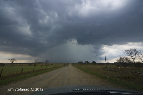
Now the storm was at the strongest it would get. Wonderful structure with a 70 dBz core on radar and weak rotation in the base radial products.
