Posts Tagged: storm
May 15th 2013
On July 19, 2016
- 2013 Storm Chases
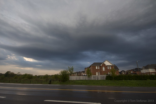
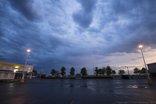
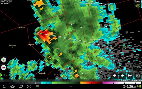
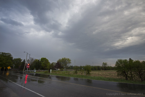
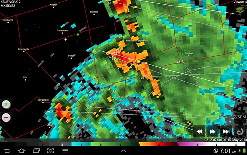
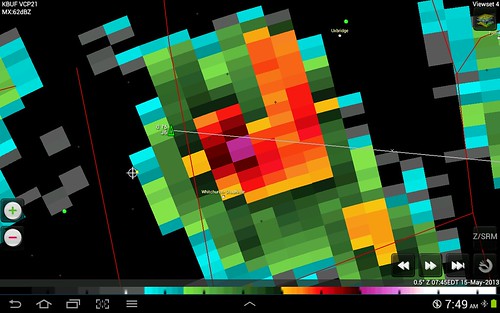
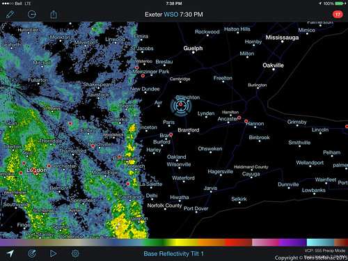
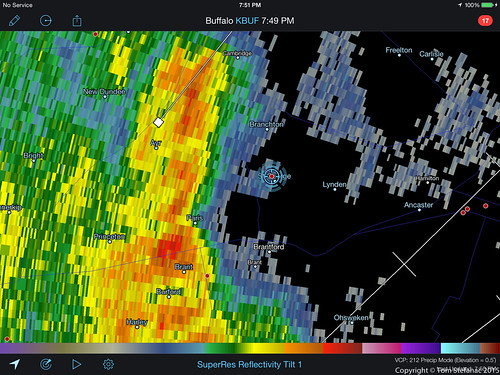
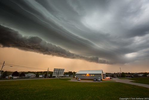
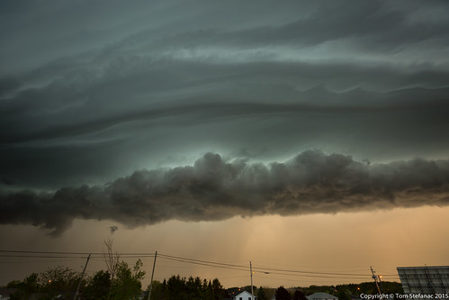
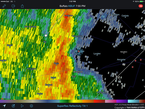
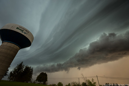
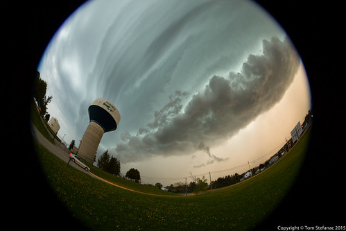
This was the second storm cell which later spiked on radar.
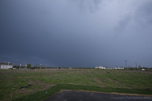
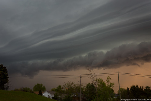
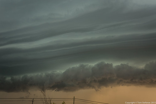
When this photo was taken it was still in its infancy but at this point the surface warm front was getting closer and it was later in the day so boundary layer mixing was increasing. This allowed the storm to mix down further and at least appear to be getting closer to the ground.
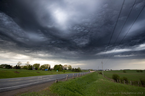
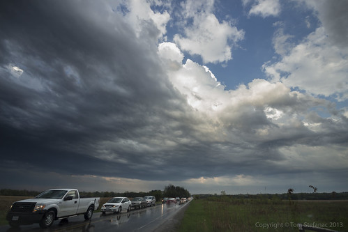
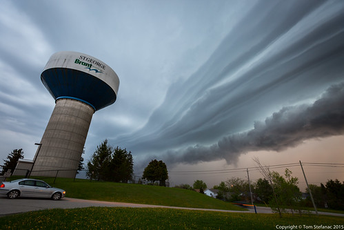
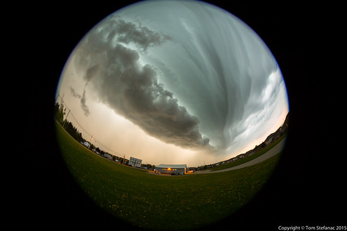
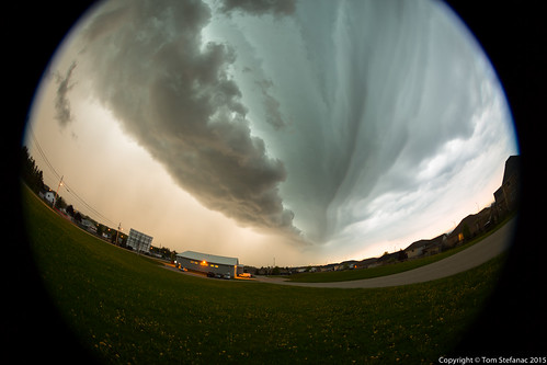
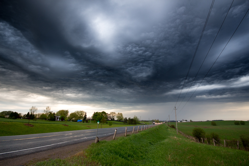
This is a stylized image of the storm as it continues eastward. I've used a graduated neutral density filter to darken the sky and create this vibrant image. At this point the storm was hitting 68 dBz and producing some small hail. A warning for Durham Region was issued, and this storm eventually made its way out over Lake Ontario.
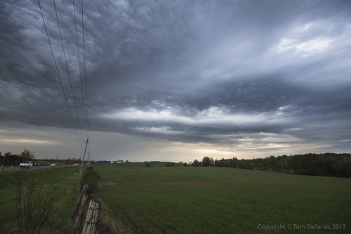
I tried to keep pace with the storm but gave up, it was moving at well over 80 km/h.
May 11th 2015
On June 1, 2015
- 2015 Storm Chases
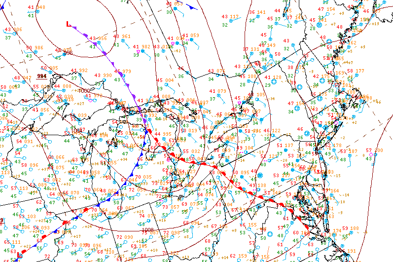
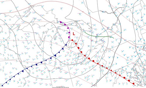
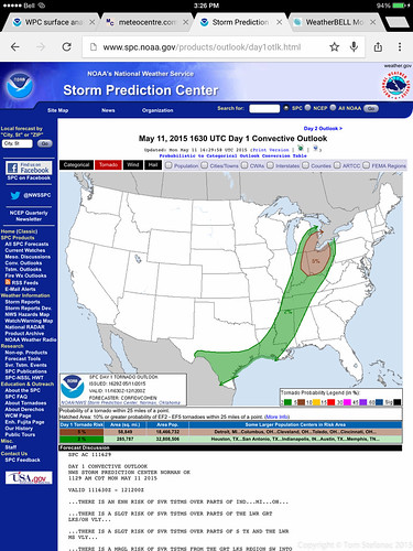
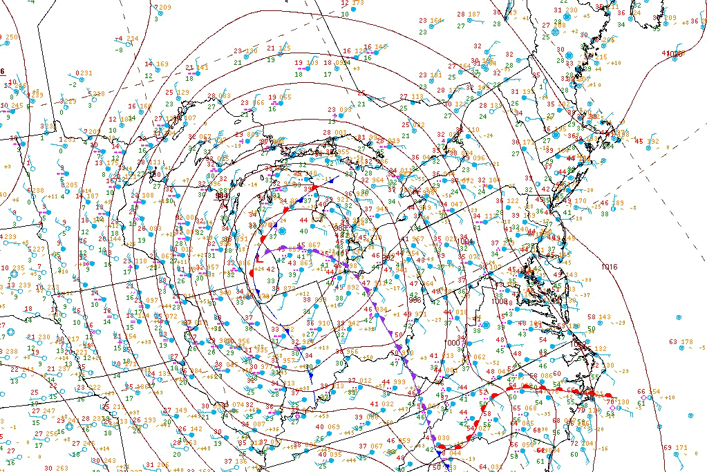
On this day a messy warm front which was severely stunted by the cold water of the great lakes struggled to make it into Southern Ontario. Shear profiles supported a linear squall line at best along a trof line and energy was very weak with peak cape around 800 j/kg.
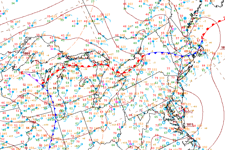
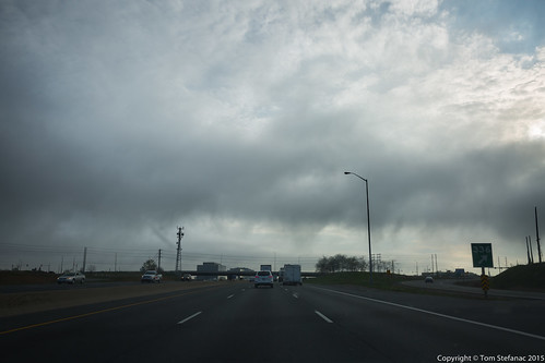
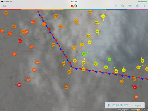
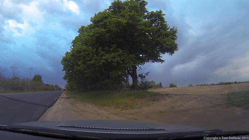
Despite all the optimism, I was more pessimistic. I had been in downtown Toronto most of the day and it was dreary! I was watching my home weather station and it was a sunny 28C, meanwhile 22km to the south it was 12C and cloudy. The problem was lake moderation from the frigid waters of Lake Erie and Ontario.
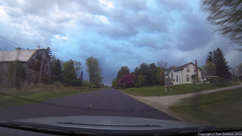
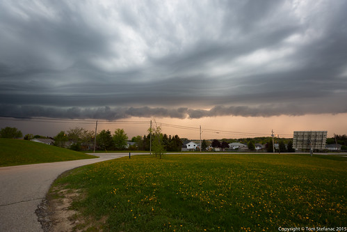
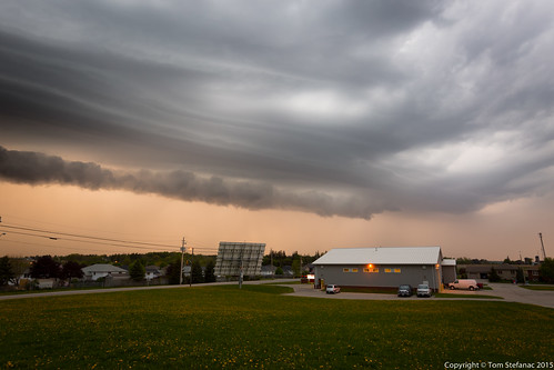
Because moisture was abundant and there was lots of potential for scud and stuff due to pockets of lake moderate air mixing in here and there I thought that maybe a shelf would be possible. Unfortunately this part of the Niagara Escarpment is a terrible area to find clearing! The blossoms on the trees however did look beautiful!
