May 21st 2014 – Tornado Alley – Day 5
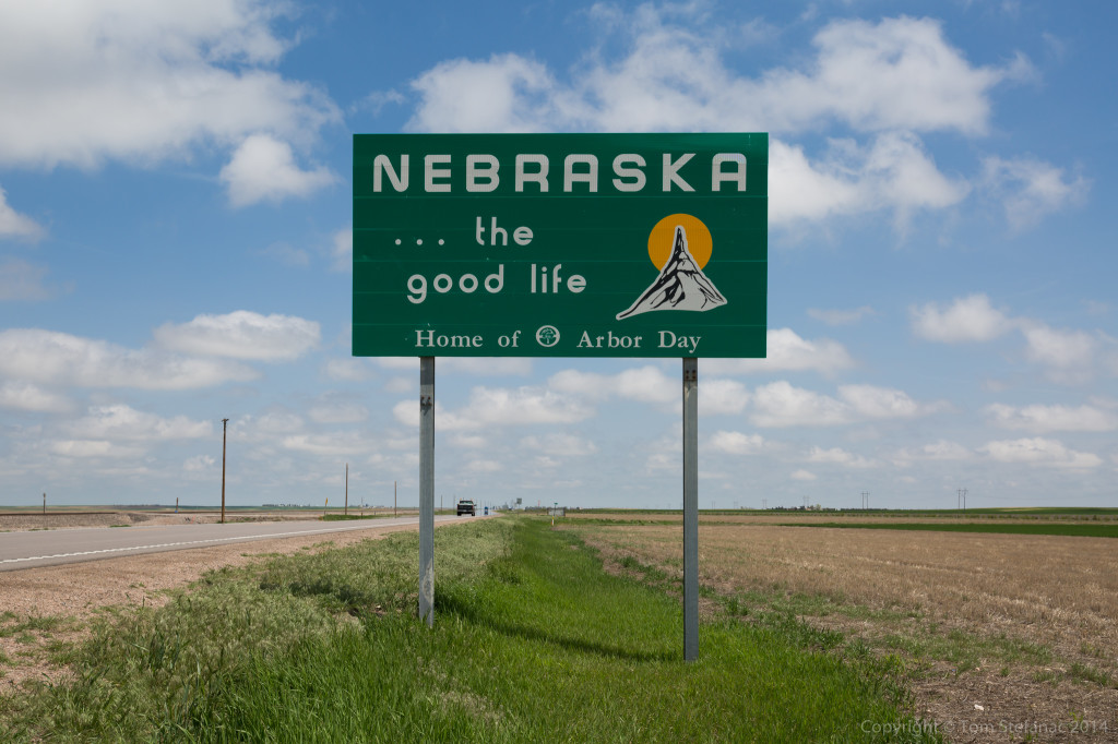
Today we said goodbye to Nebraska. Based on the upcoming pattern we will likely be more into the southern plains in the coming days so I probably won’t be back this year.
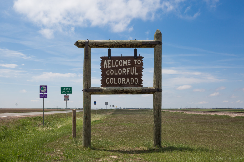
But on the other hand we said hello to Colorado! In this area Kansas, Colorado, Nebraska, Wyoming, Texas and even far western Oklahoma all share very similar geography. On average your 1500 meters of more above sea level and the environment is very dry. Today however with the easterly upslope winds dew points were able to get up to around 55F/13C which might be dry by eastern standards where the terrain is only 200 – 500 metes ASL, but in the high country that’s super wet!
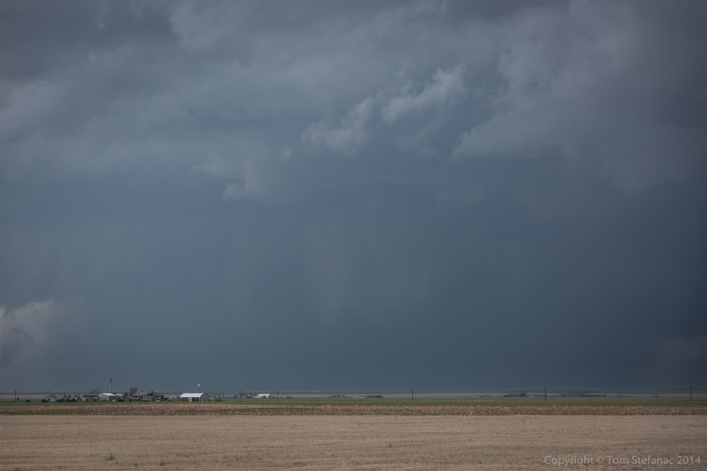
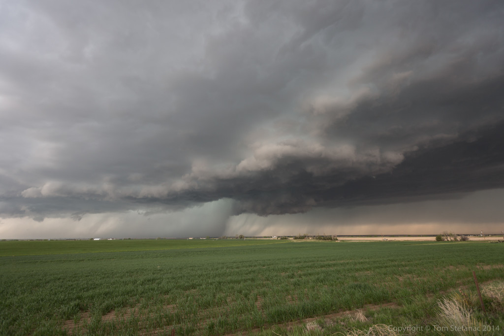
Just as the 4km WRF-NAM and 12Z HRRR had predicted, a supercell storms quickly developed around 2:30PM over top of Denver. The storm rapidly began to rotate and drift east. It quickly produce a menacing wall cloud with rain curtain wrapping from behind. There were all sorts of scud fingers reaching down, some exhibiting rotation. A tornado was reported by a spotter however no one has been able to confirm this.
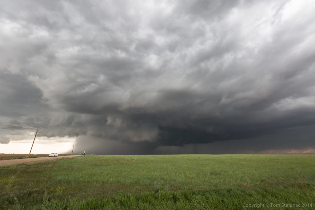
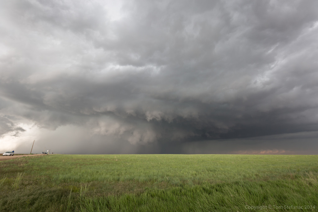
As the storm continued east, the wall cloud structure rapidly began to tighten up. At one point it looked like the storm was going to produce a tornado. The gate to gate shear over the Denver radar was around 100 knots! It was cranking and slowly drifting towards Jen and I at a snails pace.
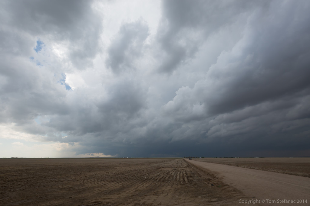
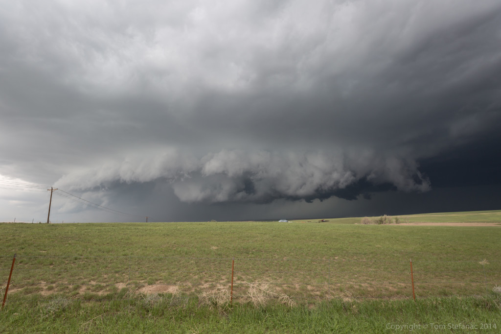
The wall cloud eventually began to really hug the ground! Around the time this photos was taken, inflow was racing into the storm at around 30 mph / 48 kph. The wind was just feeding in and thunder bolts were crashing with a low roaring sound every couple seconds. I also ran into Chris Kridler and her chase partner. I’ve been a longtime fan her of her website and it was a pleasure to meet her!
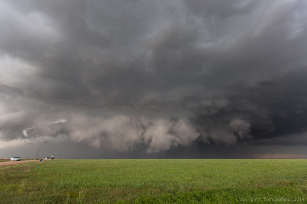
I repositioned to avoid getting cored (hit with the bad part of the storm) and stopped on a relatively quiet country road. Within maybe 5 – 10 minutes it was lined with chasers! Then Mark Robinson and several other chasers which I knew pulled up. I also met Jaclyn Whittal from The Weather Network in person. Talk about a chaser convergence. By this point the storm had lost much of it’s structure and was in the process of replacing it’s mesocyclone.
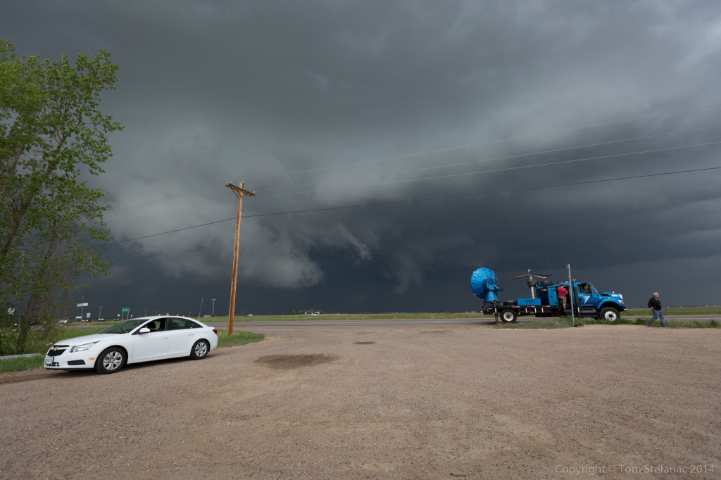
Our meet and greet was short lived since the storm began to morph again. I raced down the road and back to a main east-west highway. By this point the road was lined with locals, chasers, tour groups, spotters and even scientific research teams. I ran into one of the DOW’s (doppler on wheels). They had 3 trucks, but now they may have 4 or 5, I’m really not sure, but either way I did see one of them and jumped out to take this photo.
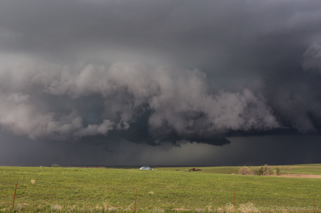
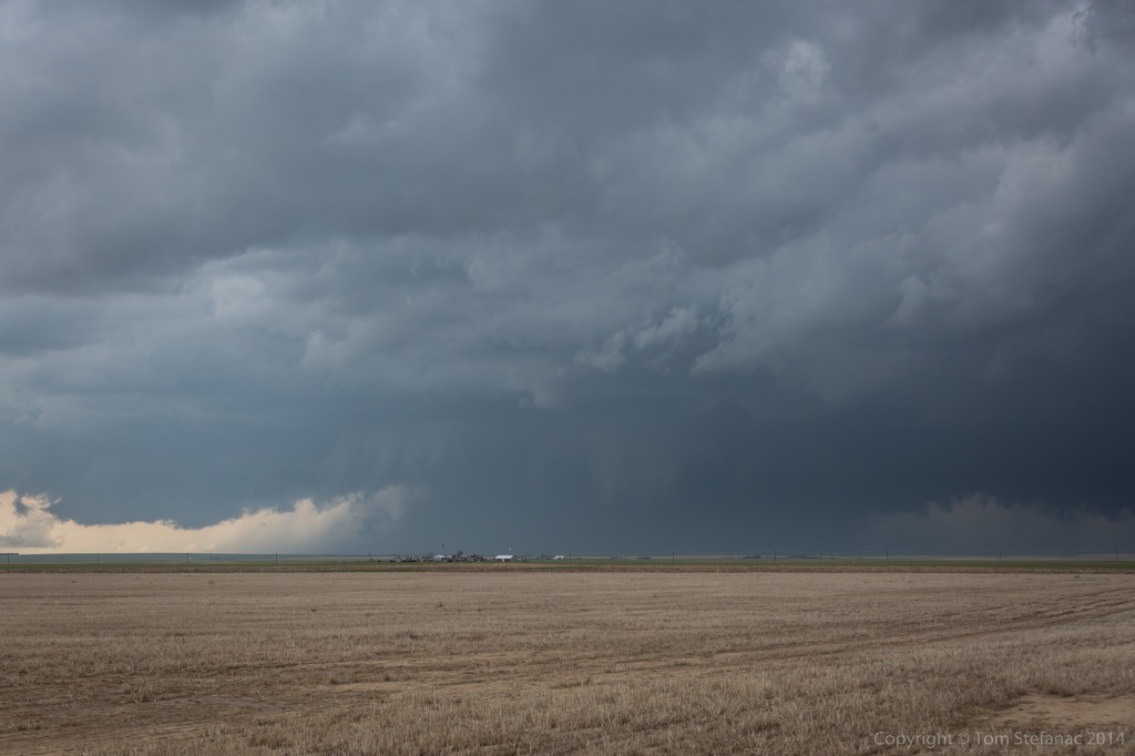
After grabbing my photo of the DOW I raced east and pulled over several miles from the storm. I immediately started shooting video. I knew the storm was rapidly intensifying before I even pulled over, wind gusts were buffeting my car and small hordes of tumble weed were rolling across the road towards the storm, a sure sign of strong inflow. The wall cloud now began to rapidly rotate and lower towards the ground. Again at times it appeared to really try to hug the ground. It was pretty amazing to see this type of a hybrid, almost high precipitation storm in such a dry environment.
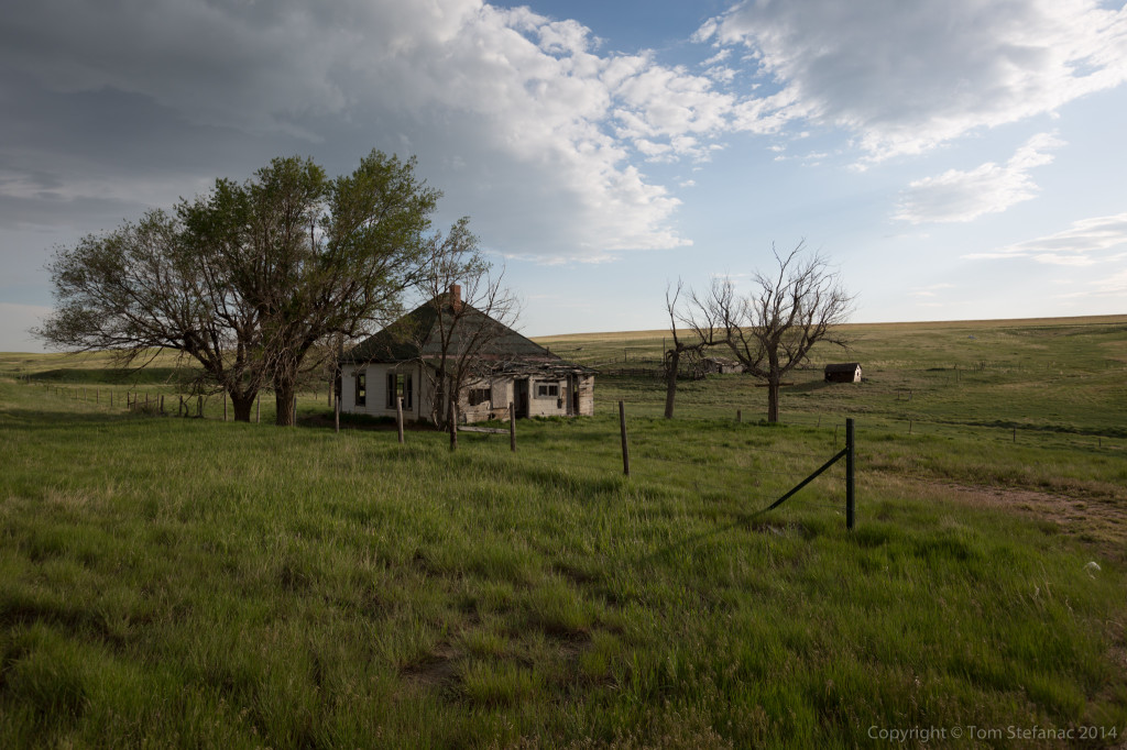
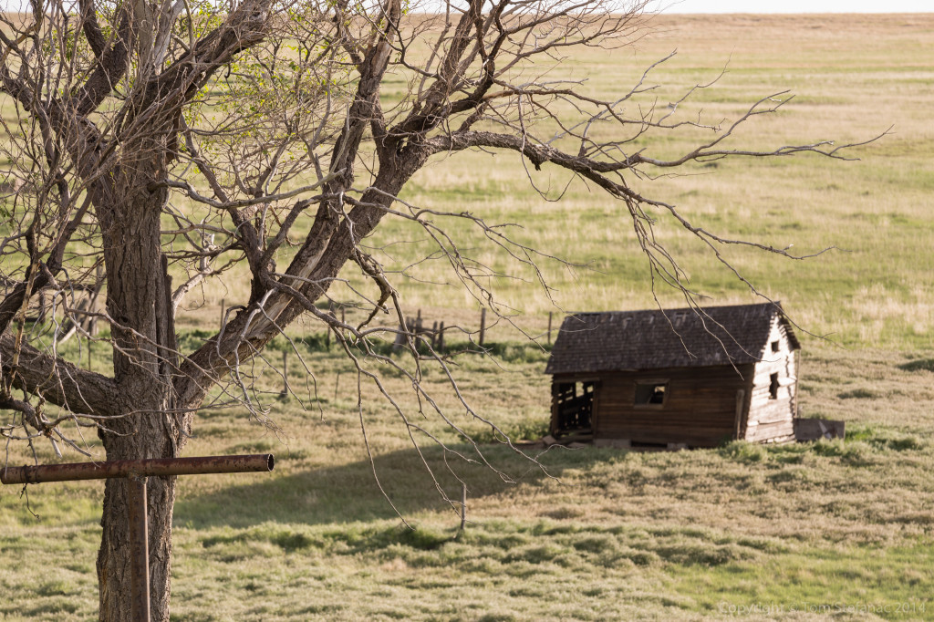
Eventually the storm was eaten by a line of garbage that rolled up from the south (again, exactly as predicted by the HRRR) and our chase was done for the day. We stopped along US 71 in Washington County on our way to Limon and grabbed some photos of this cool abandoned homestead. Once in Limon we were able to grab the very last room (the honeymoon suite ironically) at the Quality Inn. Talk about chasers, I think everyone chasing the storm is in this tiny Colorado Town and we all literally overran the local bar and grill which had wonderful food.
As for tomorrow, we’ll see, I’m looking at a Kansas play and then probably the Texas Panhandle come Friday. The weekend, looks like a classing southern plains day! Looks like 330 miles to any potential target tomorrow in Kansas and then another 350 miles to the Panhandle for Friday.