May 26th 2014 – Tornado Alley – Day 10
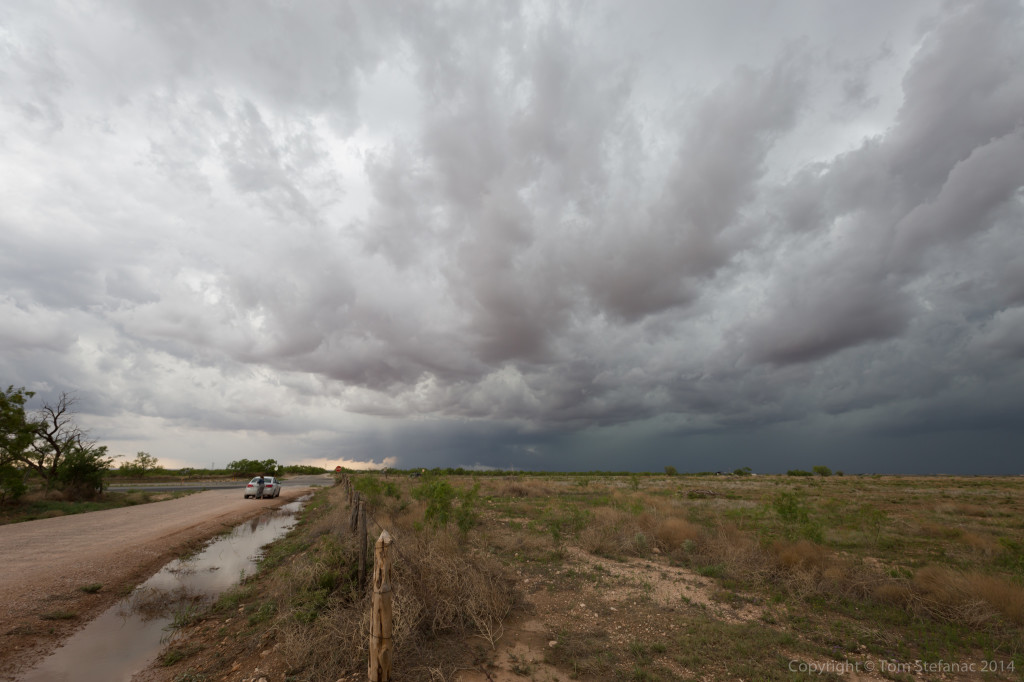
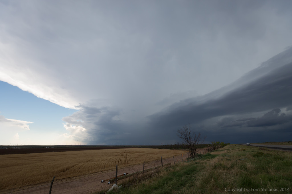
Storm began to fire off a boundary early in the afternoon between Andrews and Seminole Texas while slowly drifted east-southeast. The first storm I intercepted was just south-west of Lamesa, TX. I took me a little longer to get into position since I had to drive up from Uvalde, TX nearly 6 hours away.
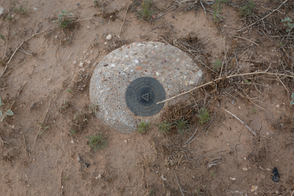
While taking photos I almost tripped on this stone, I look down to find it was part of the U.S Geologic Survey. Interesting.
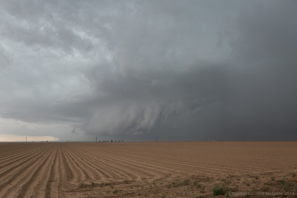
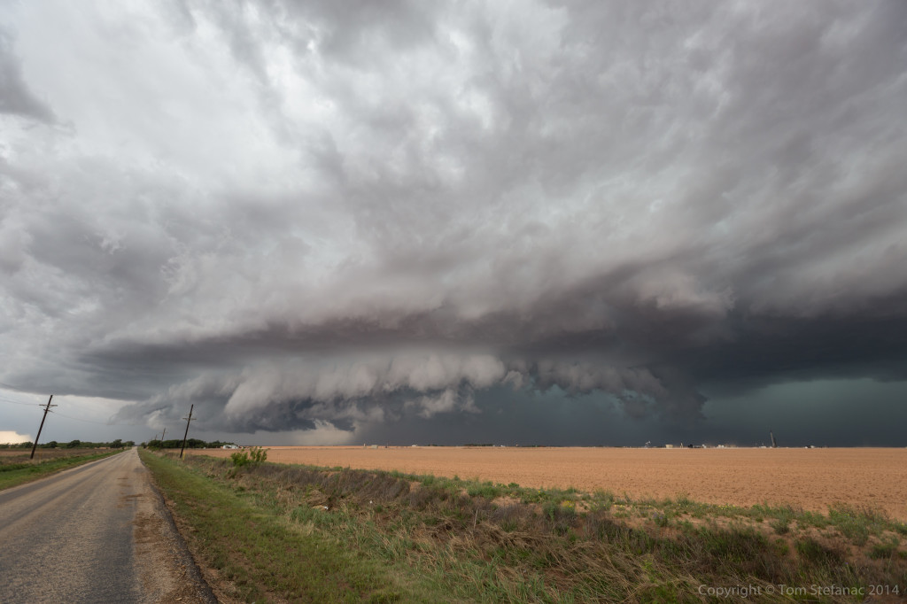
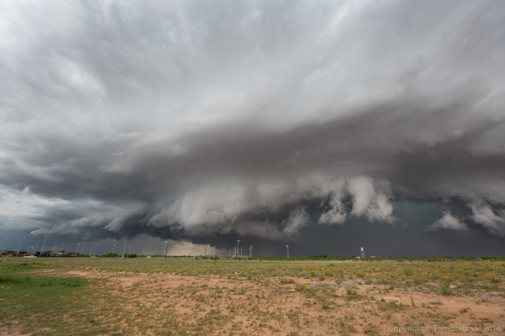
As the storm approached my position it was a little messy looking but the inflow was growing and there was a lot of upward motion. The core also had this green look to it.
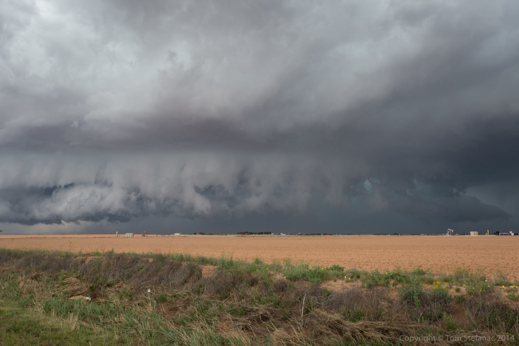
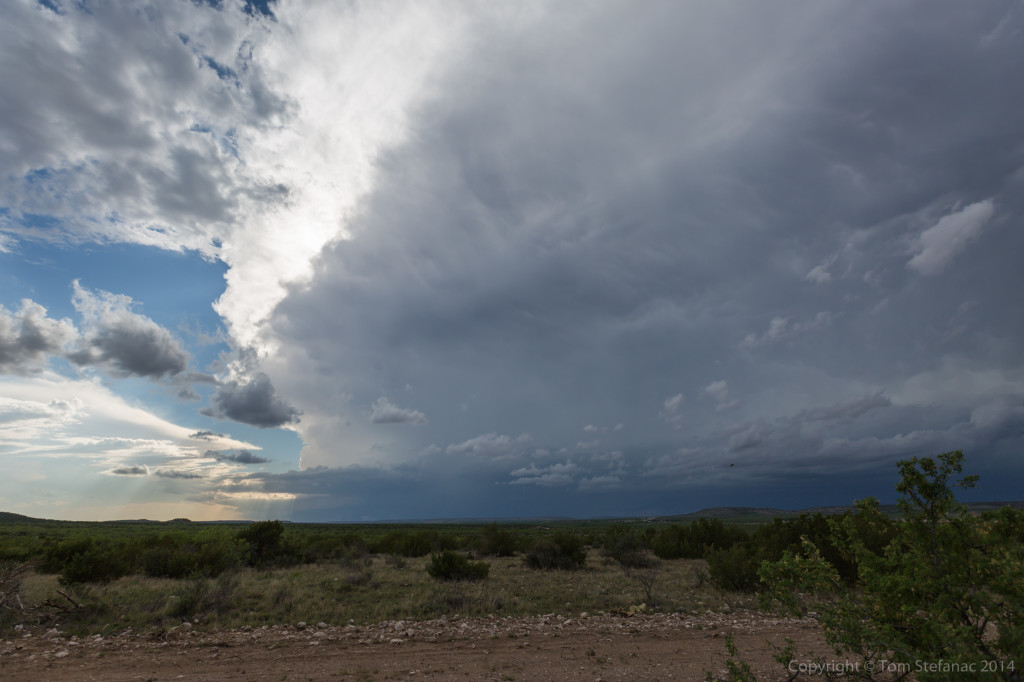
Falling south and stopping just north of Big Spring, there was an interesting inflow feature, almost like a tail that was growing and being blocked by a falling rain curtain that was wrapping around.
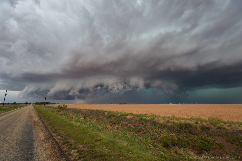
A couple minutes later the feature was completely obscured but the storm was really hugging the ground and the gate to gate rotation on radar was tightening up.
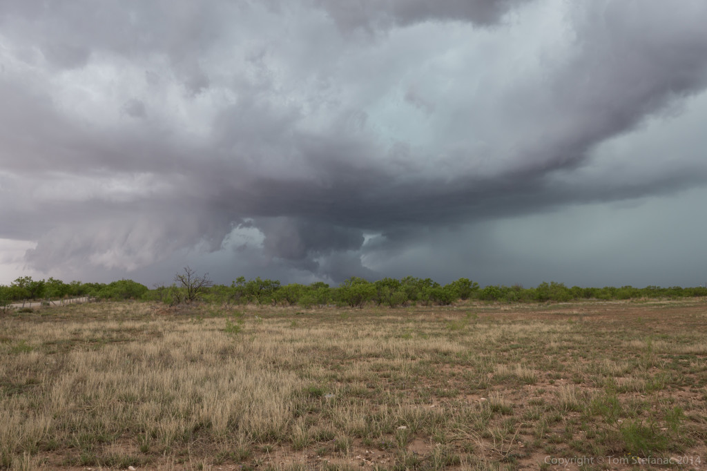
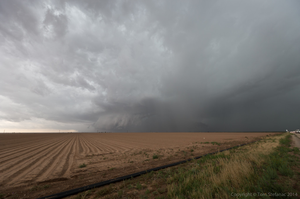
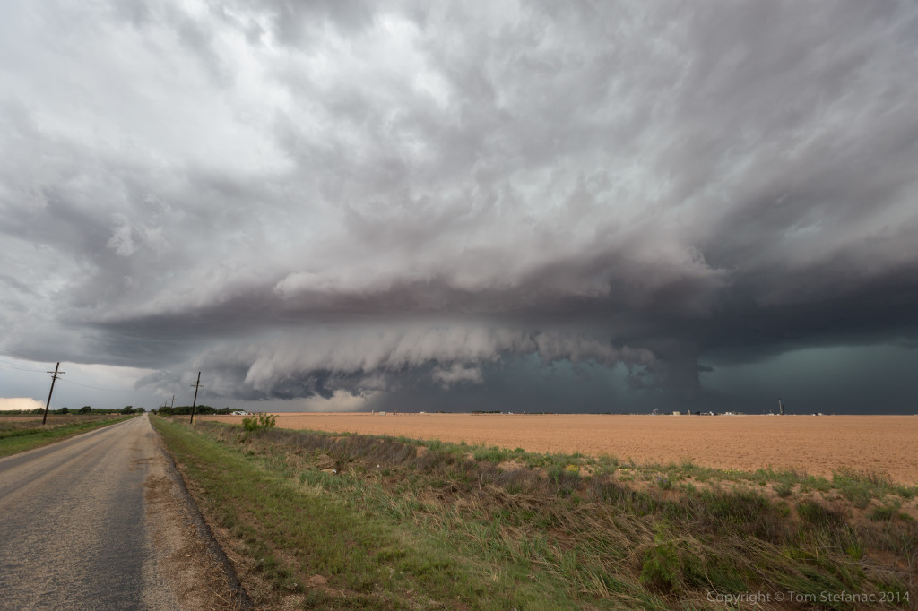
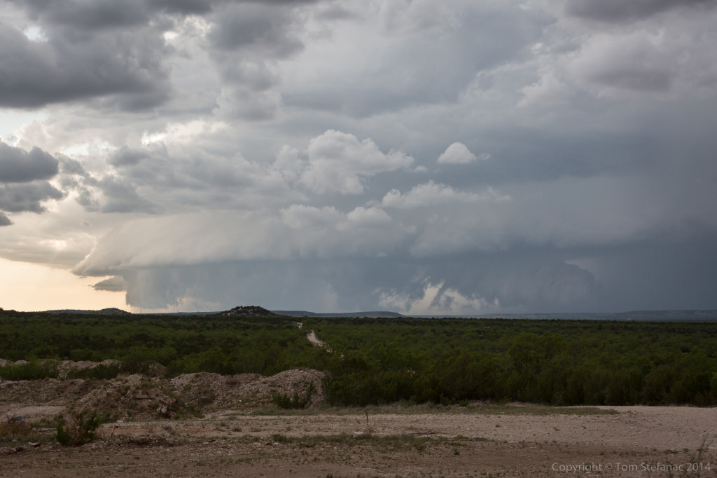
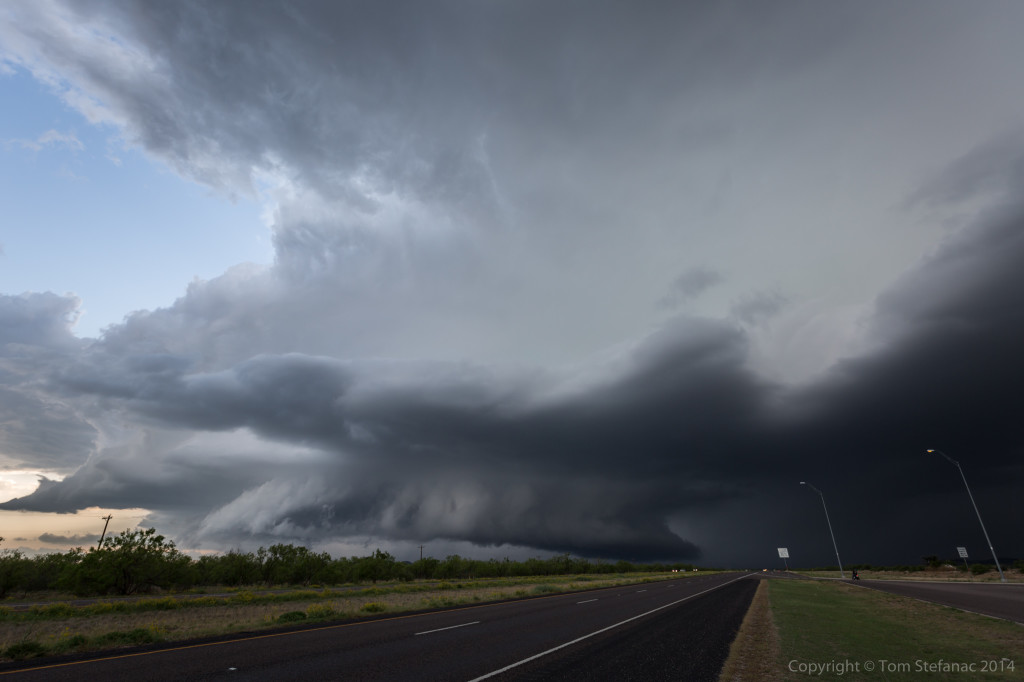
Shifting south once again, the storm continued to morph and became this scary but colourful glob of inflow, outflow and supercell structure painted in the sky against a brown field lined with grass.
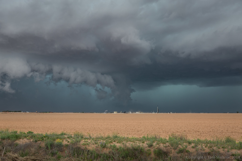
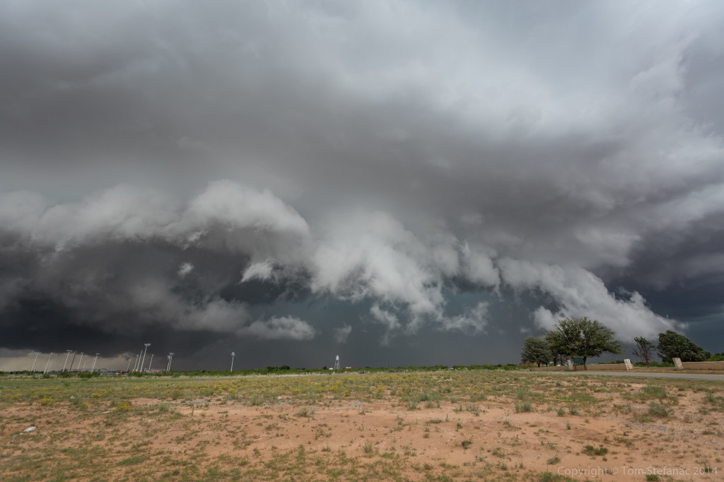
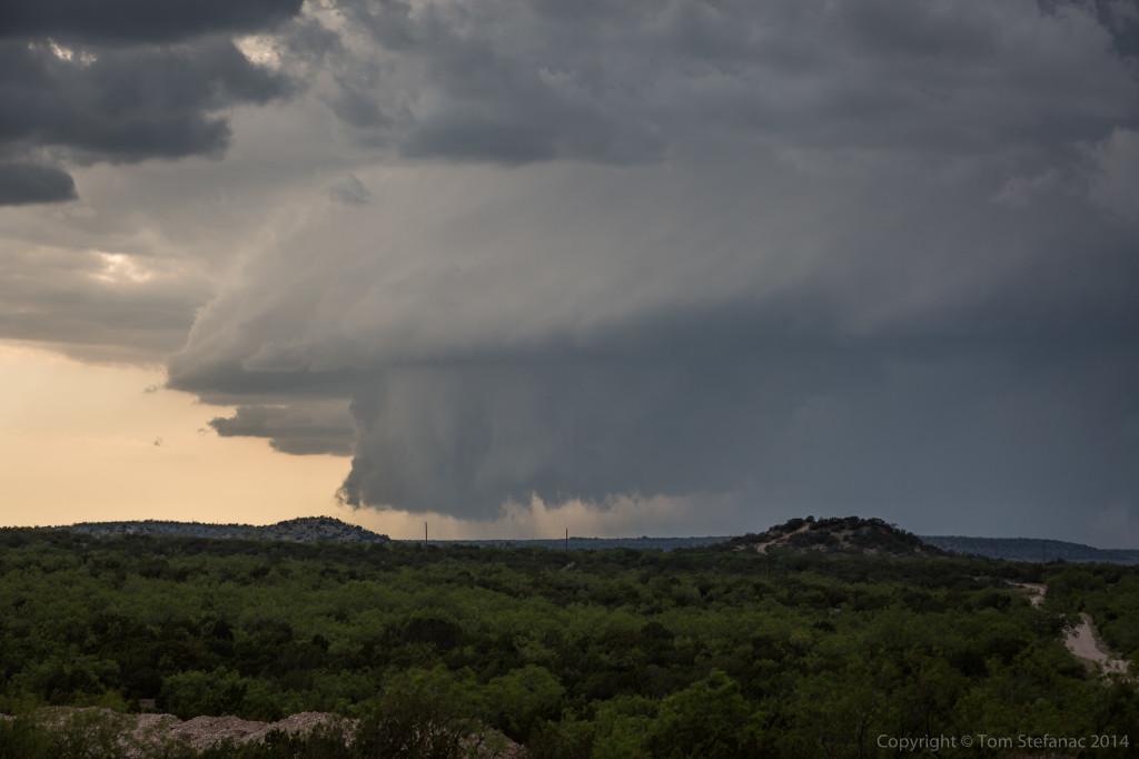
A clear inflow notch was developing on radar and very visible in person underneath the semi-visible vault. By this point, the storm was beginning to pull south hard, drifting towards the town of Big Spring directly. Initially it looked like a clean miss but now the storm was really shearing off and trying hard to go south.
The storm continued to head towards me and I stuck around for as many photos as I could before having to move!
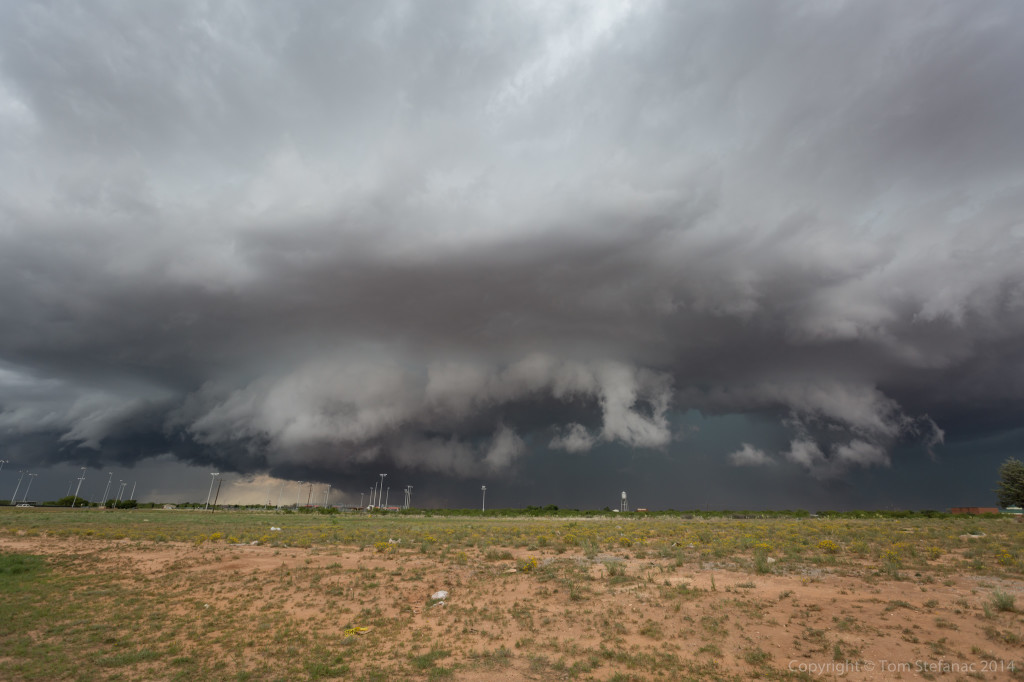
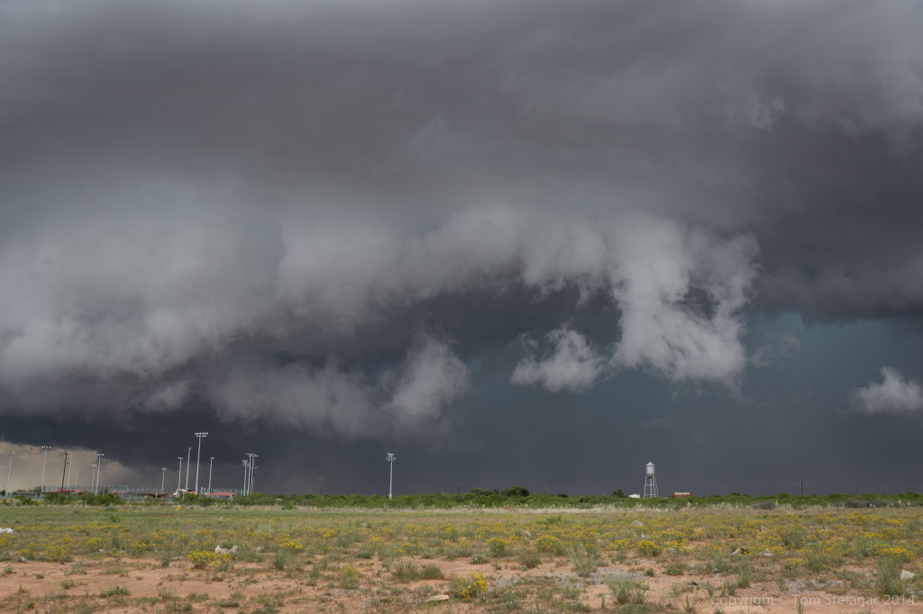
Unfortunately finding a clearing in the town of Big Spring was not easy since it sort of sits in a valley and it is a built up town. The already busy streets were also now deluged with chasers bailing south. I was able to find this view behind a tractor supply company.
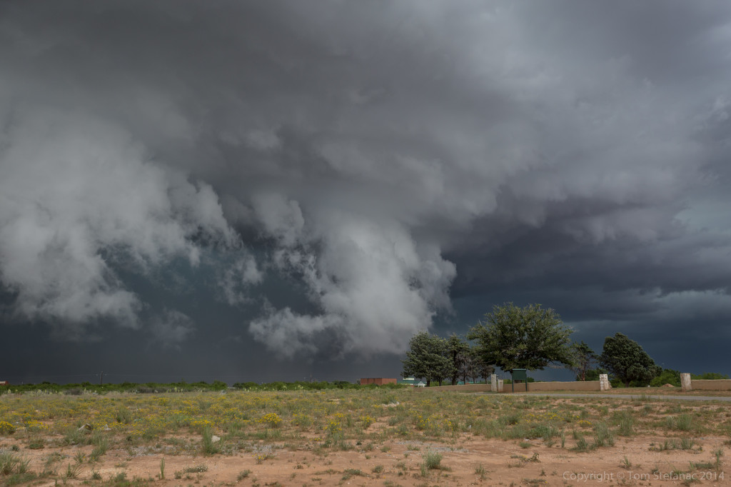
Again, there was incredibly strong inflow into the notch just behind the trees in the above photo. The scud was also rising blazing fast! The storm was absolutely ready to produce a tornado except it was going to be buried in rain.
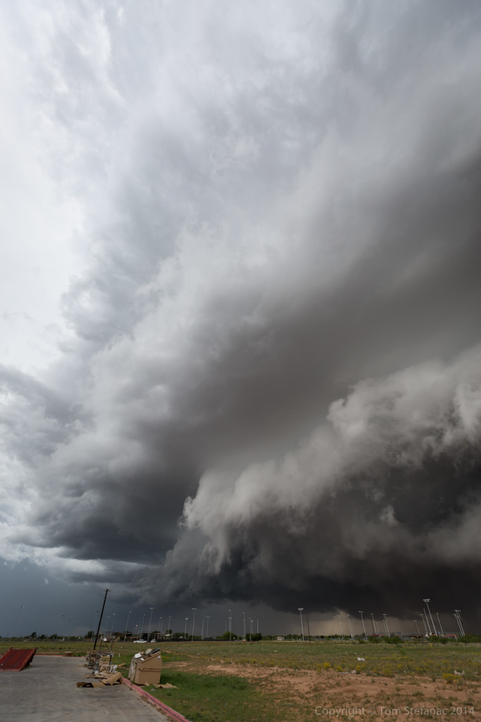
These shots, especially the vertical perspective look gives an idea of how abrupt the synoptic environment, or in this case meso-scale environment transformed into a storm scale environment. Also, this is a super wide angle lens, about as wide as you can get before your into a fish-eye, so despite the storm looking far away, it was actually almost on top of Jen and myself!
Eventually the original storm, we’ll call it the northern cell, just became to difficult to follow. It crossed the interstate east of Big Spring and produce a rain-wrapped tornado. I’m not a fan of rain-wrapped anything, you have to be way too close to see those tornadoes, I’m picky and tend to go for the text-book cones, but I guess beggars can’t always be choosers!
The entire boundary which gave life to the original storm, was sparking off new storms progressively farther west. I positioned myself for the slow approach of the next storm in the line.
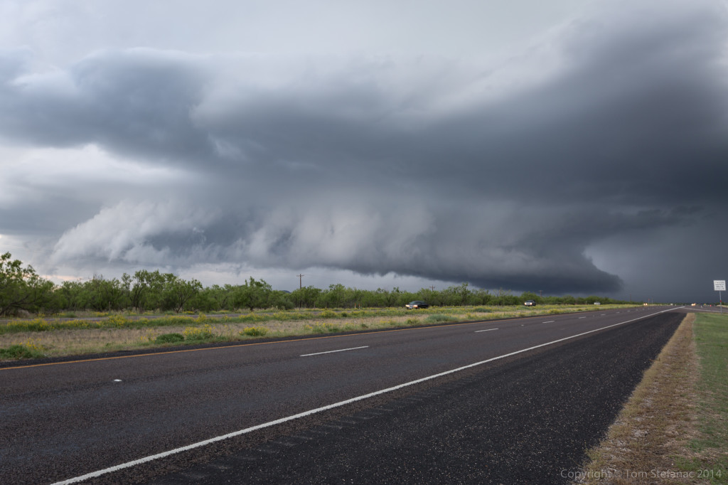
As the storm drew closer, some nice forward flank and rear flank structure came into view.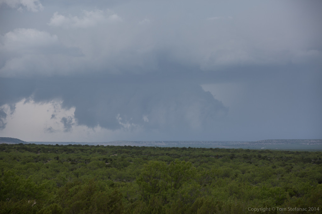
The storm also had a persistent wall cloud.
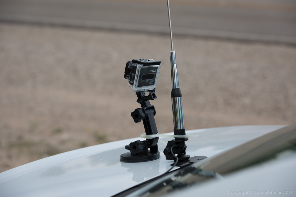
This was my GoPro setup at the time, that way I could get video of the storm as I was running away!
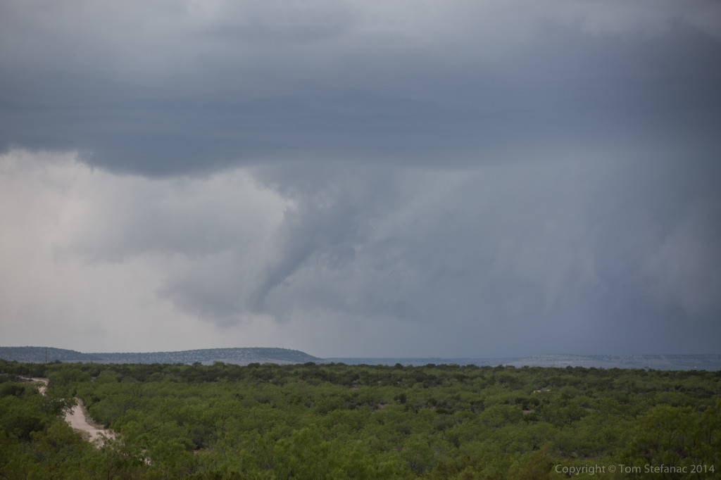
Every now and then the storm would produce a funnel-like cloud but I don’t think it ever produce a true funnel cloud that I could see.
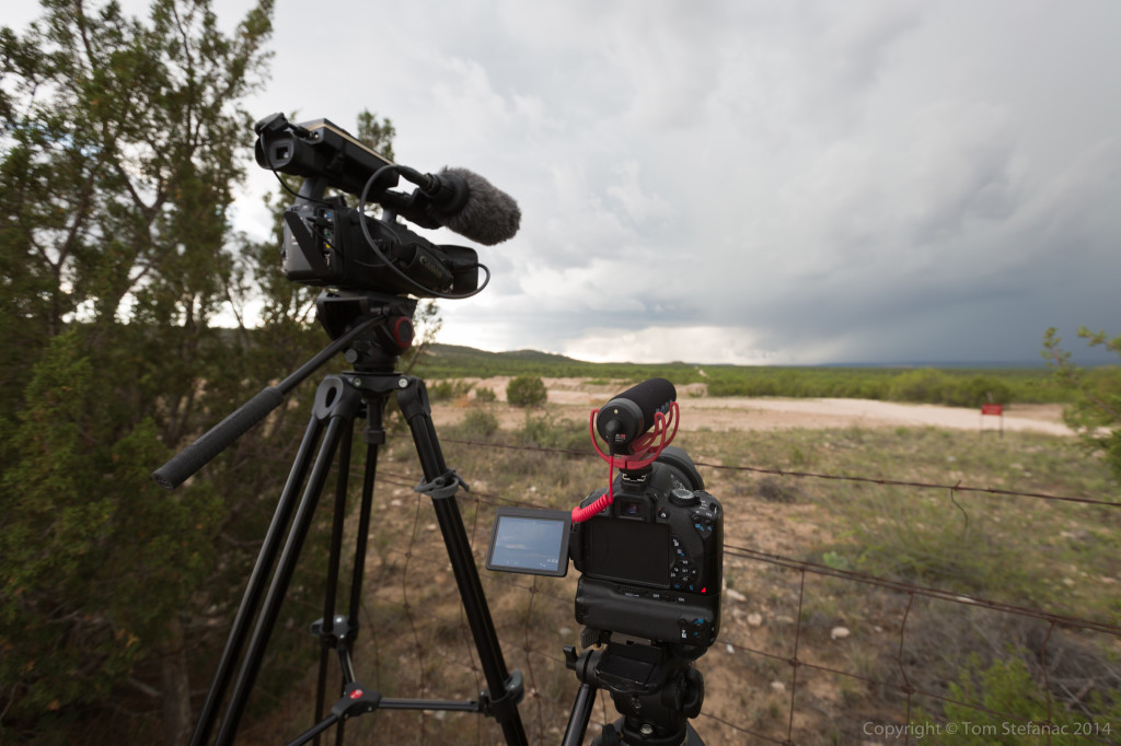
I was shooting both tight video and wide angle stuff. I’ll eventually have to put everything together in a nice timelapse.
I eventually had to re-position again as the storm began to take a bit of a dive south. There was a rest stop near Sterling City, TX which was a great spot! Silver Lining tours were also in the rest area as well as numerous locals.
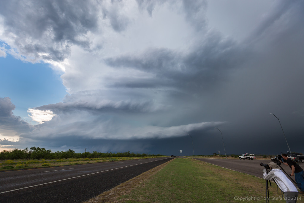
I know many storm chasers try hard to keep people out of their photos, but I often like to put them in the picture. It’s realistic, and gives life to the environment as it was at the time.
The supercell structure was also awesome! You just don’t ever see stuff like this in Ontario!
Did I mention the storm had a wicked wall cloud?
Eventually the storm passed just to our north, and I mean the core and all missed by 1 mile! Unfortunately for us chasers, it eventually got caught up in the outflow of the earlier storm and died, but for a while it was sure looking crazy!
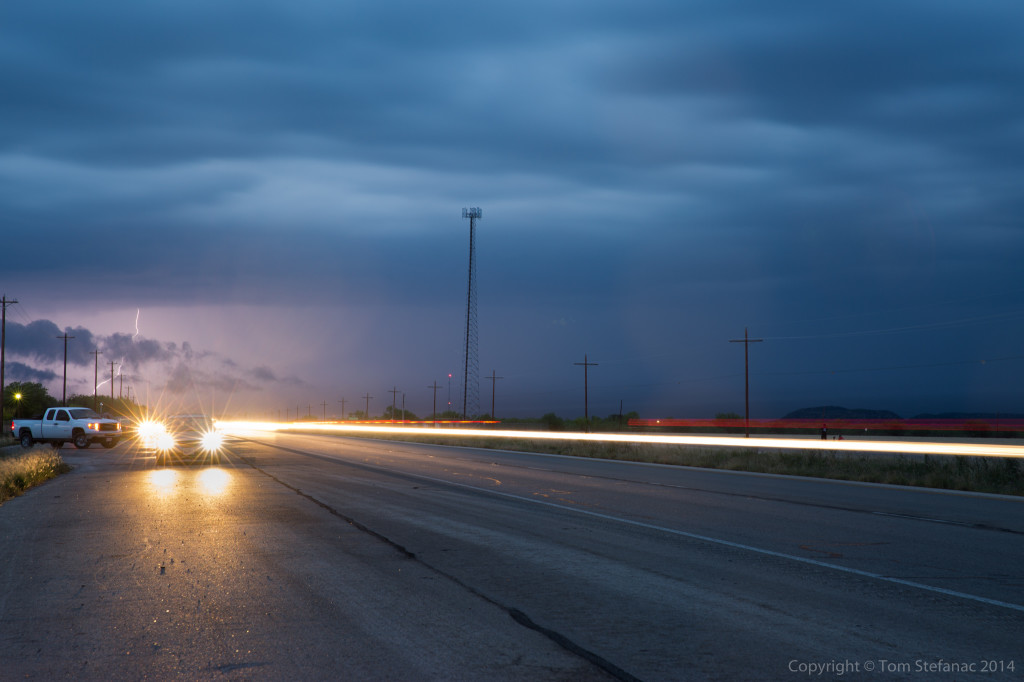
Later in the evening I tried to get lightning shots of yet another supercell but the road network was not all that great, nor were the vantage points or the head lights glaring at me!
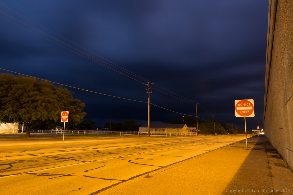
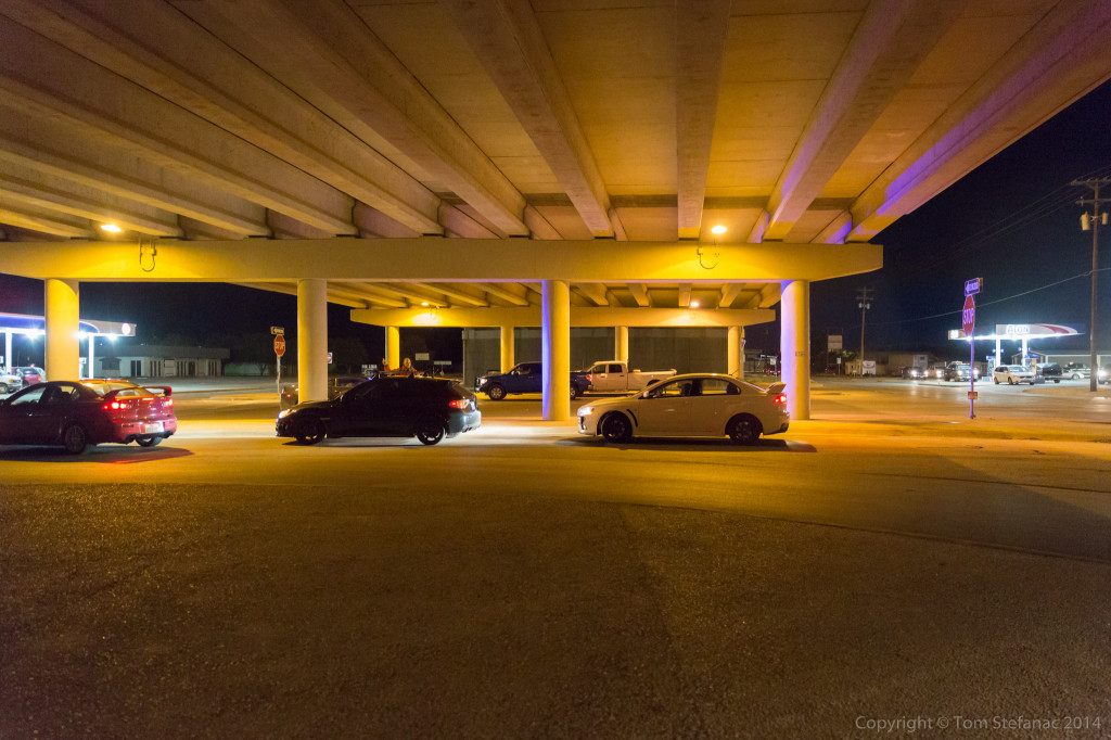
As the third storm of the day drew closer I found an overpass to park under. There was no tornado threat at the time, just hail, and I figured I would ride the storms core out with some mighty concrete protection.
There were numerous locals that began showing up shortly after I was established well off the roadway up against a vertical wall. They however parked on the road and thought they were sheltering from a tornado!
A representative from the local fire department showed up and moved most of them along, but it’s a tough call, I know sheltering under a bridge is not the best idea, but sending people blindly out into the storm is not a great idea either.
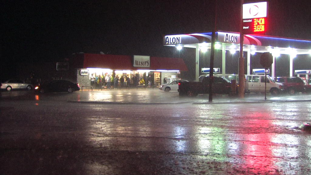
Several vans showed up and another tour group (Cloud 9 I think) showed up the Alon gas station and all got out to see the storm.
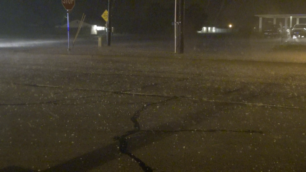
It was a fun core, probably not for the people trapped out in it, but it was not overly crazy, some 1-1.5 inch hail, some 50-60 MPH winds and a blaring tornado sired. The video is pretty cool!
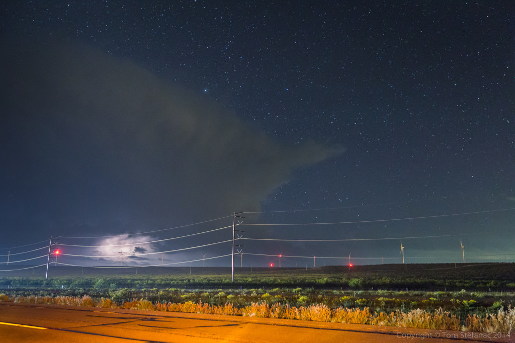
Later that evening as I headed north back to Big Spring to grab one of the few remaining hotel rooms, Jen and I stopped for some lightning photos just south of the town. Against the star filled sky, the storm looked cool. I had hoped for some anvil crawlers but it seemed to all be buried deep in the storm.
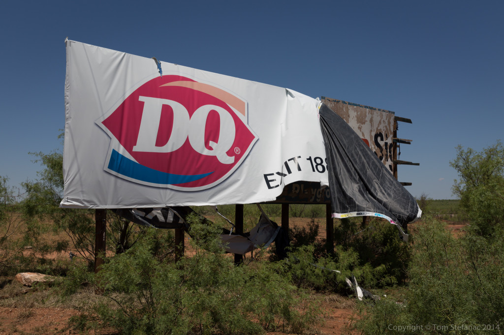
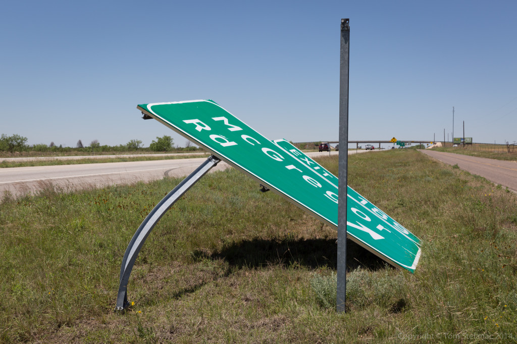
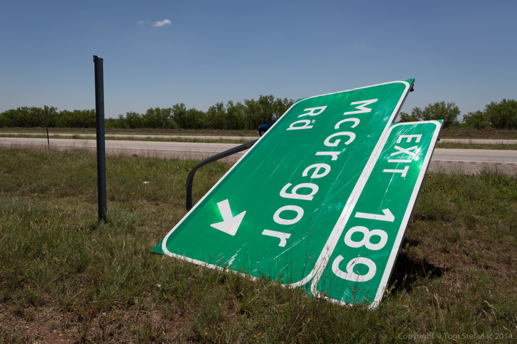
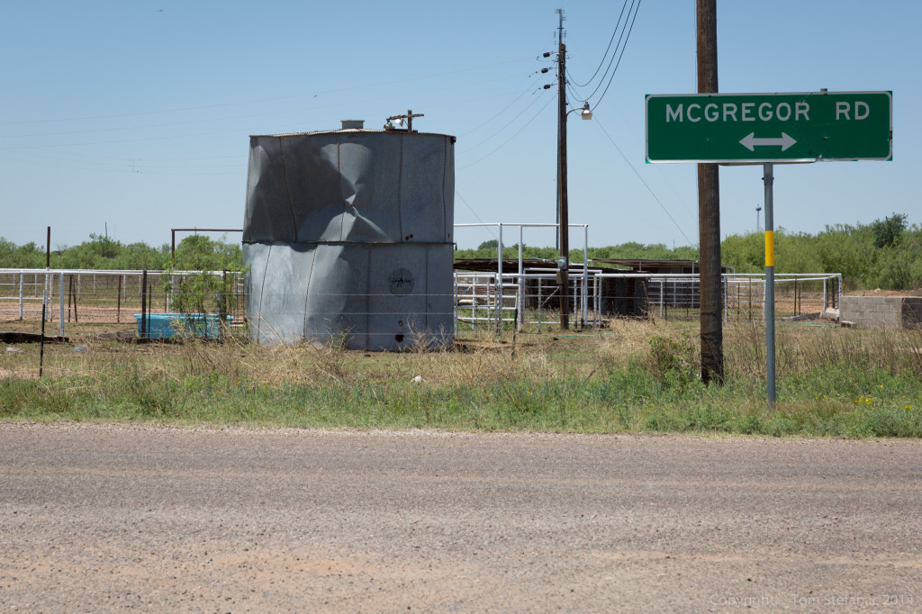
The next day I went out hunting for tornado damage, and found it, just west of Big Spring near exit 189 on I-20.
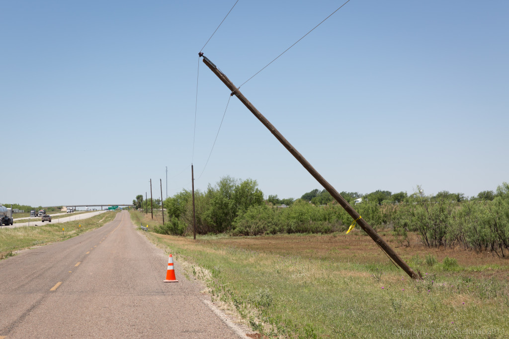
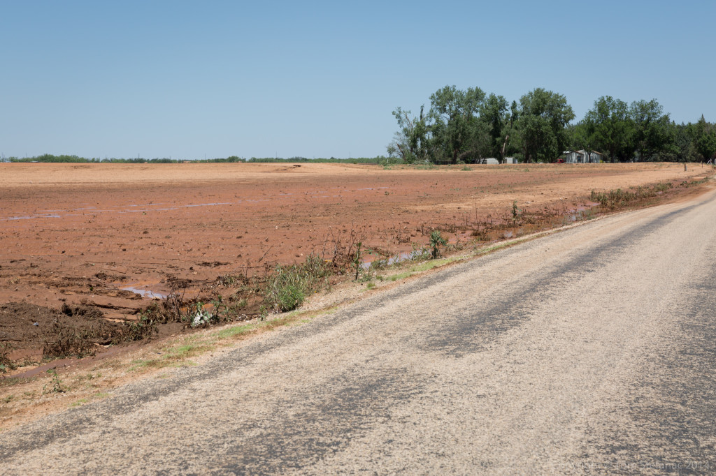
The tornado whipped across this field just missing some houses and “trimming” the trees, before taking out a number of power poles.
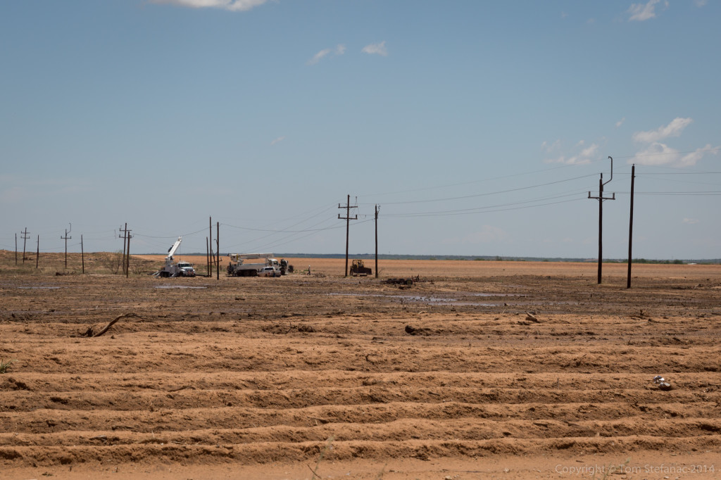
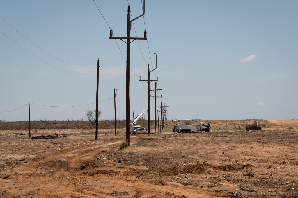 Crews were busy repairing everything but luckily there was no major damage, from the shredded weeds, trees and damage to the odd structures hit, the tornado was probably on the order of 50-60 feet wide and a higher end EF-1 in nature.
