April 30th 2015
On June 1, 2015
- 2015 Storm Chases
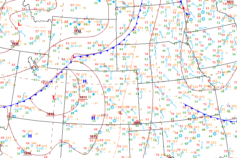
This was the real start of my chase-cation. There was a very marginal potential for severe storms and tornadoes were a virtual impossibility based on probabilities. It was a usual weird as could be high plains setup where by some miracle of the storm relative wind fields and near non existent moisture, the high plains would somehow produce storms which would grow in strength by evening and eventually everything would be pushed out by a cold front sinking south from Wyoming. Weird things happen above 1500 meters in elevation!
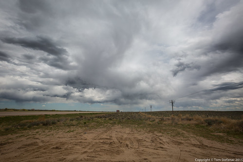
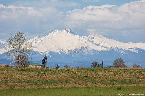
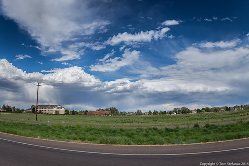
After hanging out near Fort Lupton for a while I headed east to follow and watch one storm cell that was just fluff near Dearfield. The thing with these storms that roll off the mountains is that you never know exactly which one will become "the storm". Eitherway, it was still early and the mix of high based and low topped convection was not good!
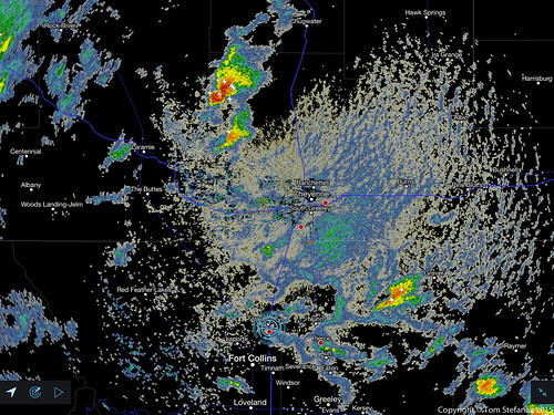
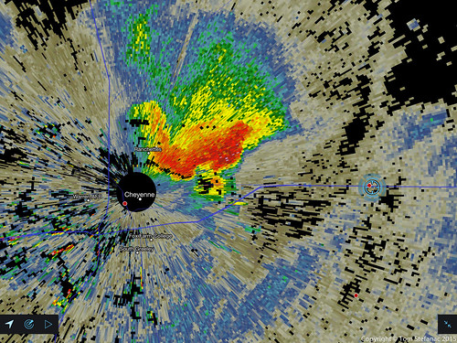
The radar was showing something interesting starting to come together in Wyoming with the storm tracking SSE at around 20 knots while the stuff in Colorado still looked mushy. The thing with chasing on the edge of the front range is that often the storms go up super dry and the radar can be very deceiving. Your eyes are the best tool since you'll often still be able to see more than whatever the radar can see.
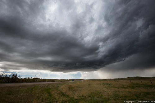
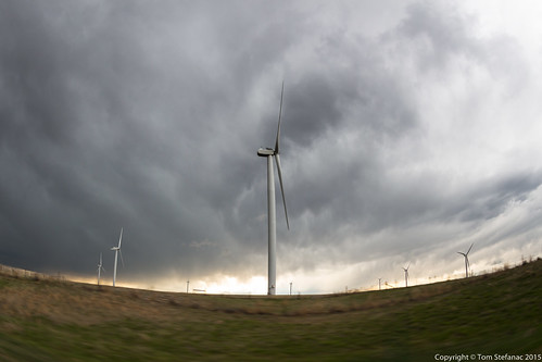
On the way to Cheyenne there's a super flat wide open part of I-25 that's always windy where the elevation jumps to 1900 meters! On the way to this particular storm I was being buffeted like crazy, it was hard to stay in my lane!
Once in Cheyenne, the storm began to quickly look more and more organized as it moved into a deeper more moisture rich boundary layer.
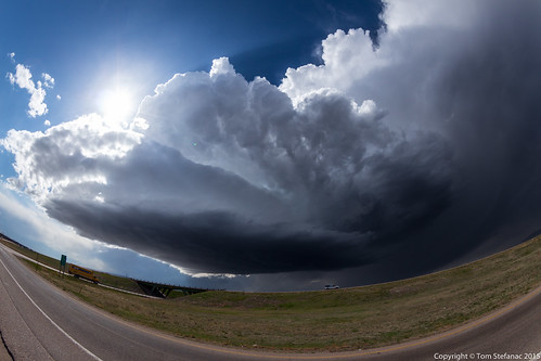
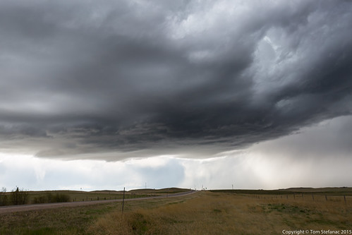
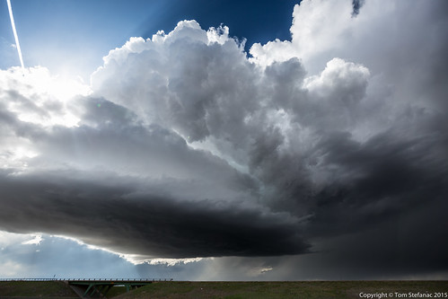
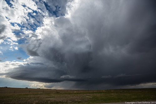
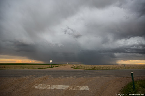
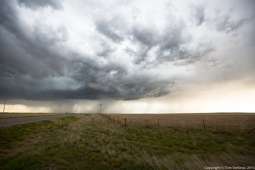
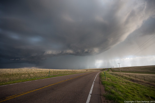
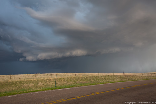
After popping out from under the storm I was shocked to see it had transformed into a beautiful classic supercell. The storm was super low precipitation, I think dew points were like 40F and cape was only on the order of 1000 j/kg but there was enough directional shear relative to the storm motion to produce this supercell.
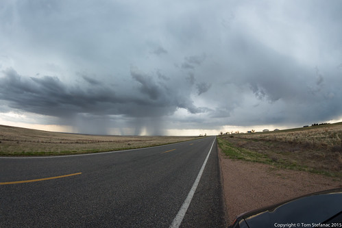
The storm complex which look good on radar became a real mess by the time I got where I needed to be. The high terrain this far west is a blessing and a curse. It helps storms form without needing any of the usual 850mb parameters but at the same time dries out the atmosphere and limits moisture. In this case, as the storm complex moved east the atmosphere became deeper as the elevation dropped but the moisture did not increase with depth and the storm fell apart.
